Published as part of the Hart Diaries: — © George & Clare Hart, 1967 —Manuscript set in Times New Roman and Year Book Outline
INTRODUCTION
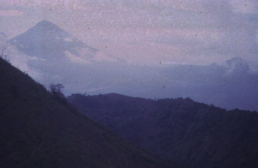
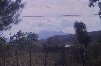
Guatemala is the northernmost of the five Central American republics from the possessions of Spain during the 19th century. Just less than England in size it is a country of varied scenery ranging from moist tropical jungle to cool mountain plateaus. Passing through the country are the Sierra Madre Mountains, which continue to the north as the Rocky Mountains of North America, and to the south as the Andes of South America. The Sierra Madre lie about 50 miles inland and are separated from the pacific coastline to the east by the pacific piedmont and a 20 to 40 mile wide coastal plain. The plain and piedmont are regions of excellent farmland, coffee and sugar cane plantations and cattle ranges. To the northeast of the Mountains the land slopes down to the Atlantic coastal plain that bounds the Caribbean and jutting out into the sea is the great plain of the Peten - a semi-unexplored jungle and once the home of the Mayan civilization. The highest mountains are volcanic, mostly inactive but some currently erupting. Volcanic eruptions are regularly associated with earthquakes and in 1773 the old capital Antigua was destroyed by the eruption of the Agua volcano; Quezaltenango was destroyed by the Santa Maria volcano in 1902 and earthquakes in 1917-1918 destroyed much of Guatemala City: which today lies within the Guatemala City graben. The volcano Tajumulco is the tallest mountain in Central America and there are 34 important volcanoes within the confines of Guatemala.
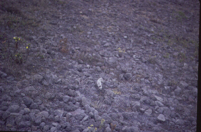
Lying between 14 and 18 degrees north the climate is tropical tempered by altitude. The Caribbean coast is the wettest and receives as much as 200 inches of rain per annum but Guatemala City receives only about 51 inches. The Pacific coast gets about 100 inches per annum. The intensity of the rainfall gives raise to several important rivers, the Usumacinta being the longest in Central America [485 miles] and many lakes [the bea.pngul Lake Atitlan is 60 miles west of Guatemala City]. The tropical vegetation is highly varied due to the rainfall versus altitude influences. Associated animal life includes deer and wild pig, armadillo, jaguar, bear, alligator and several kinds of New World monkeys.
Although experiencing the culture would be a new one for me it was primarily the volcanic activity that drew me to join the geology student group from the Flat Earth Society at Louisiana State University to visit Guatemala. I had seen many igneous rocks and bodies in my previous travels but had never been on top of an active volcano and so another adventure began.
January 24th 1967 - a Tuesday.
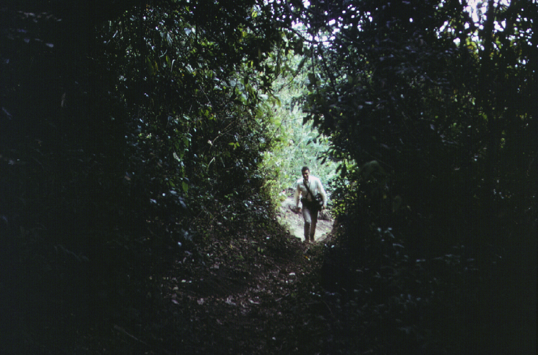
We left Baton Rouge for New Orleans airport by department vehicle and took a 10.30 a.m. flight to Guatemala City. It was a DC 6B and flew at only a few thousand feet. We had a great view of the Gulf of Mexico and the Mexican coastline which we crossed at about 1.30 p.m. arriving at Guatemala City by 2.30 p.m. As we fly inland there are visible dirt roads going to numerous plantations. A major strip road parallels the coast about 5 minute's inland, running along a vegetation and slight topographic break. The landscape is very flat, apparently tropical and not particularly swampy. Sand patches are visible here and there and whole firmament appears to be sand rather than swamp. Unfortunately, as we move further inland the cumulus clouds shroud the landscape and we see little as we approach our final destination.
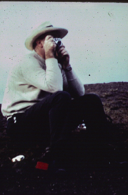
My companions sitting up front are Slade Warne from Australia who is on sabbatical leave at LSU, Romain Kupfer, a fellow faculty members wife, and Rachel Rosen. Behind me are Lou Nichols, chief technician in the Geology Department, Don Nugent, the department photographer, and a number of students Margaret, Elliot, and three others who I do not know. The DC6 itself is full.
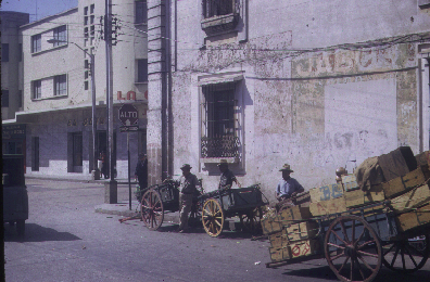
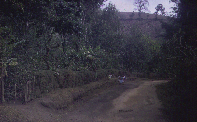
Arriving at Guatemala airport we are met by Sam Bonis, and extra-ordinary fellow, very nervous, very broad minded and delightful companion. He invited us up to his home for a drink and then asked us if we wanted to visit the whorehouse after we had our brandy! Everyone declined! Slade's eyes almost popped out of his head! Sam has a very bea.pngul Indian wife from the highlands. Her name was Che-Che and she had gorgeous light brown skin and dark eyes. According to Sam she is the daughter of one of the highland chiefs: a local princess. Slade and I went for a walk around town after our visit to Sam's then back to the hotel. Outside the hotel were some of the students talking with a young child, about 10-11. Jon Stone speaks excellent Spanish and I asked what was going on. Apparently the students were asking what there was to do around the area. The kid was telling them that there were three women over the road in the coffee bar waiting of any of them that wanted to go with them. The kid was pimping for them. His little brother then came along, he was about six, selling newspaper. I got pretty indignant, but Jon who was experienced with the poverty of Central America seemed to think I was naive - which I suppose I was. My eldest son was 4.5 years old and I couldn't help but feel sorrow and frustration of these two children out on the streets at 11.30 PM, trying to earn money. It makes one want to weep. My background had to ask 'is communism the way for Central America'? Certainly these children would be much better off and my personal experience indicates that it would be a better interim solution if not the final answer.
January 25th 1967 - Wednesday.
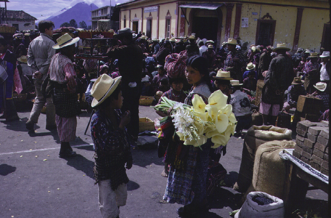
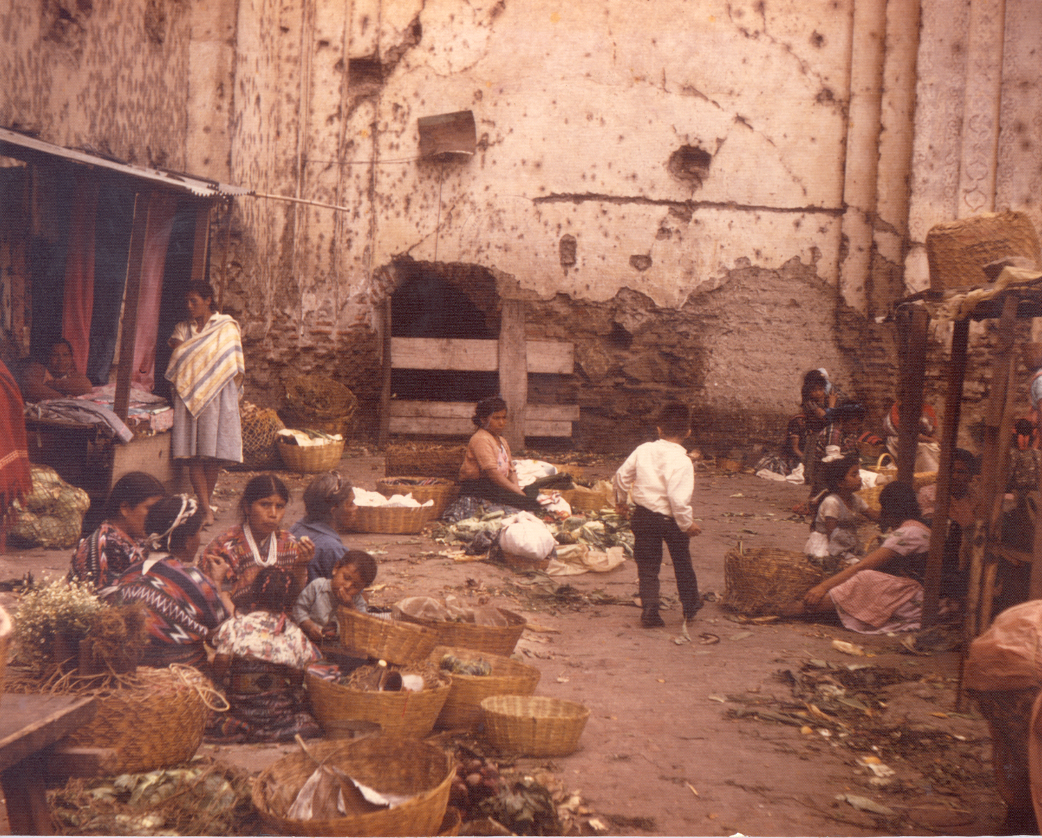
Today we went shopping in Guatemala City with Che-Che, and for me it was an interesting experience, quite unlike Africa. We started out as a group but then split up and I went exploring by myself getting some nice items [woven ties at 50c, 60 by 120 inch woven table cloth with twelve [12] place mats at $5.50, a large woolen rug for $20, and twelve [12] grass serviettes for 65c. Silverware looked good but it was plated not sterling. Wooden carvings were interesting but not as fascinating as the African material I have seen.
Sam works at the Cartographic - Geographic Institute in Guatemala City. The place seems to be a bit chaotically organized but Sam clear knows his work and has an excellent disposition. We talked of getting things organized between LSU and his Institute, bringing students down on a regular basis. We discussed sending one of my students, Jim Darrell, down for a month [maximum] to collected palynological samples. It would be necessary to give the Institute some weeks warning, as there are always problems in getting a field vehicle. However, if things develop LSU could keep a vehicle in Guatemala and the Institute would service it for us. I need to speak with some of the guys when I return.
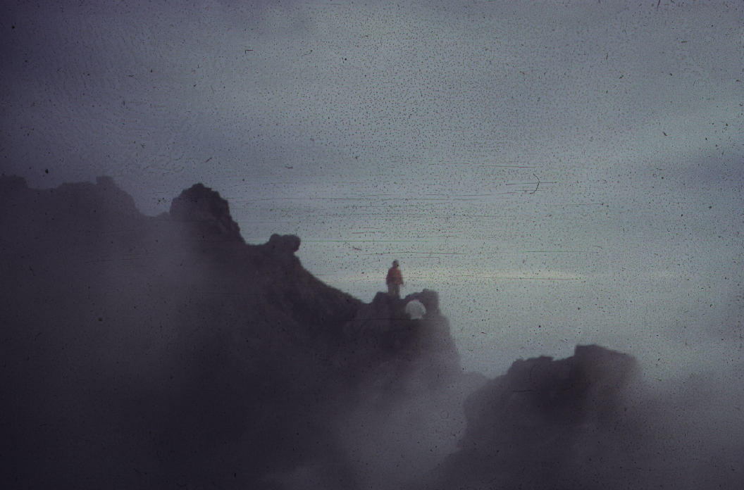
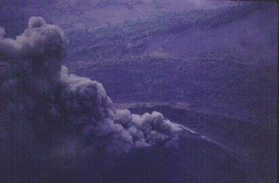
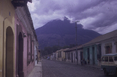
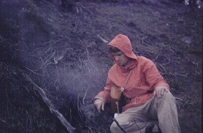
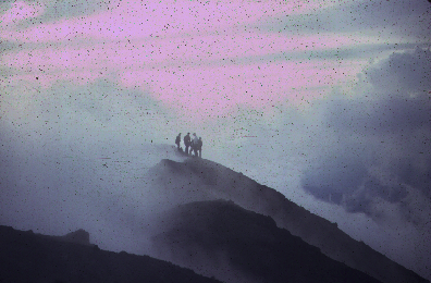
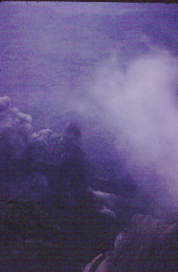
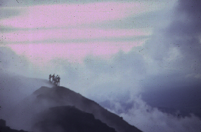
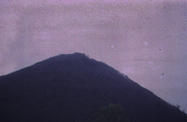
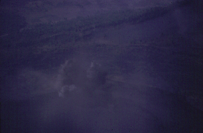
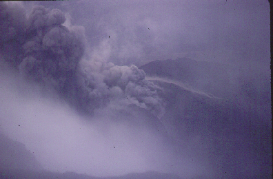
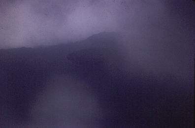
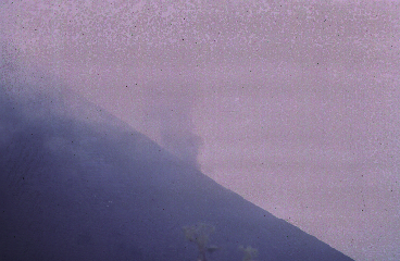
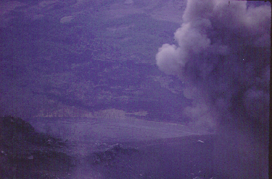
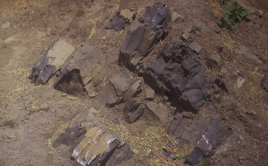
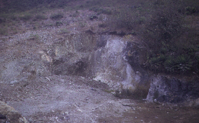
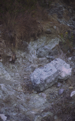
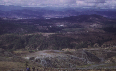
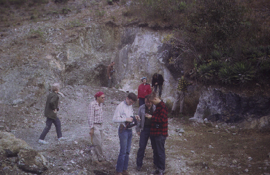
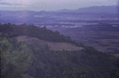
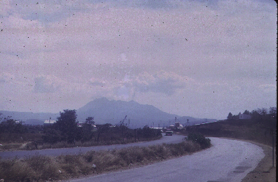
Had lunch in the hotel and afterwards climbed the local active volcano - Pacaja. It is a parasitic cone on a new cone within a caldera. The volcano had been inactive for 80 years. In 1961 it erupted basaltic material primarily as lava flow, and again in 1963 a partial blow out formed the slightly more acidic and feldspathic parasitic cone. The eruptions are both lava and pyroclastic debris and when we were there the period of eruption was about every 10 minutes and they occurred in duplicate, on both cones. Besides talking kodachrome slides of the event I collected cinder bombs and lava samples off the side of the volcano. Slade collected material from the 1961 eruption, which occurred about a mile away from the vent. We were both VERY impressed with our first encounter with an active volcano. The geological area around Guatemala City is supposed to have been one of the most active in the world. In addition to the volcanic activity there are mudflows and landslides associated with the loose debris on steep slopes, high rainfall and periodic earthquakes.
January 26th 1967 - Thursday.
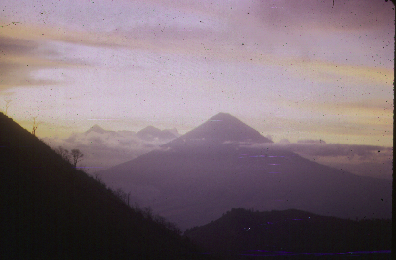
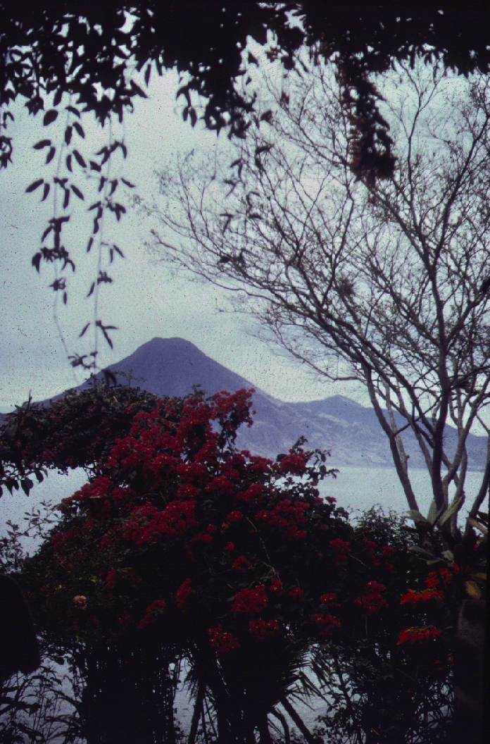
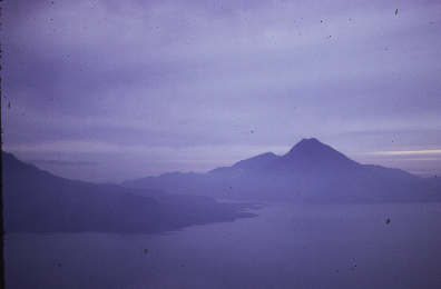
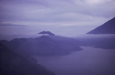
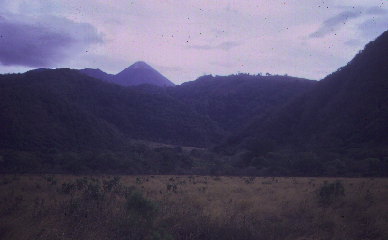
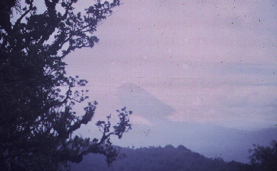
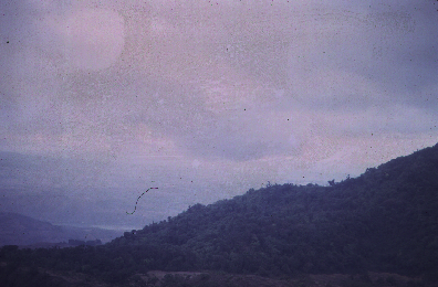
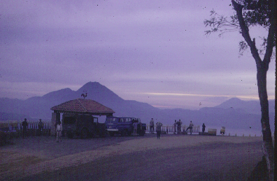
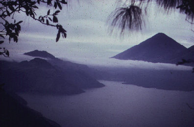
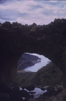
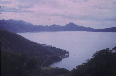
Today we went to Lake Atitlan and stayed at the local Monterrey Hotel in Panajachel. What on exceedingly bea.pngul spot, certainly comparable with Cape Town from the deck of the Windsor Castle. The hotel was excellent and we had a traditional meal of roast pork. From the hotel we could see dormant volcanoes. Slade and I went for a swim in the lake before supper and Jon Stone later told us that the American thought we were both typically eccentric Englishmen!
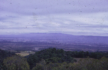
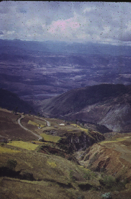
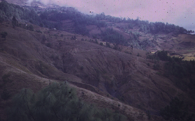
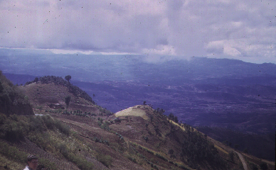
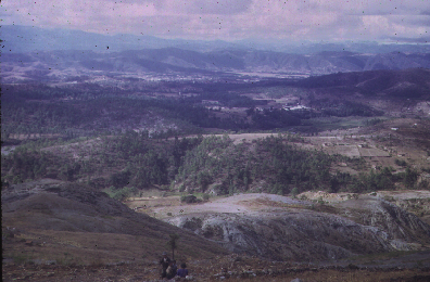
The road from Guatemala City to Lake Atitlan is very picturesque in mountainous terrain with deep ravines. The road clings to the side of the mountains and goodly distances below are the valley bottoms. From the top we looked back at the flat bottomed Guatemala City graben, bounded to the east and west by horsts. The graben has a north to south orientation and the bounding faults are concave inwards. The faults interest under the volcano Pacaja. In this region the Paleozoic trends are east - west and now converge to the south. The Tertiary trends are northeast - southwest. Denudation exposes the Cretaceous and Lower to Middle Permian formations. In this area the volcanism is of two types. Ignimbrite from Nous Adente [rhyolitic dacites] draping over the older hills and containing fossiliferous sands. Much of the ignimbritic material was later eroded and washed into the graben about 3300 years ago according to C14 dates. It forms a sequence some 330 feet thick. The older Tertiary volcanics of the mountains is mainly solid basalt.
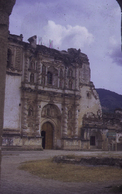
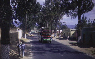
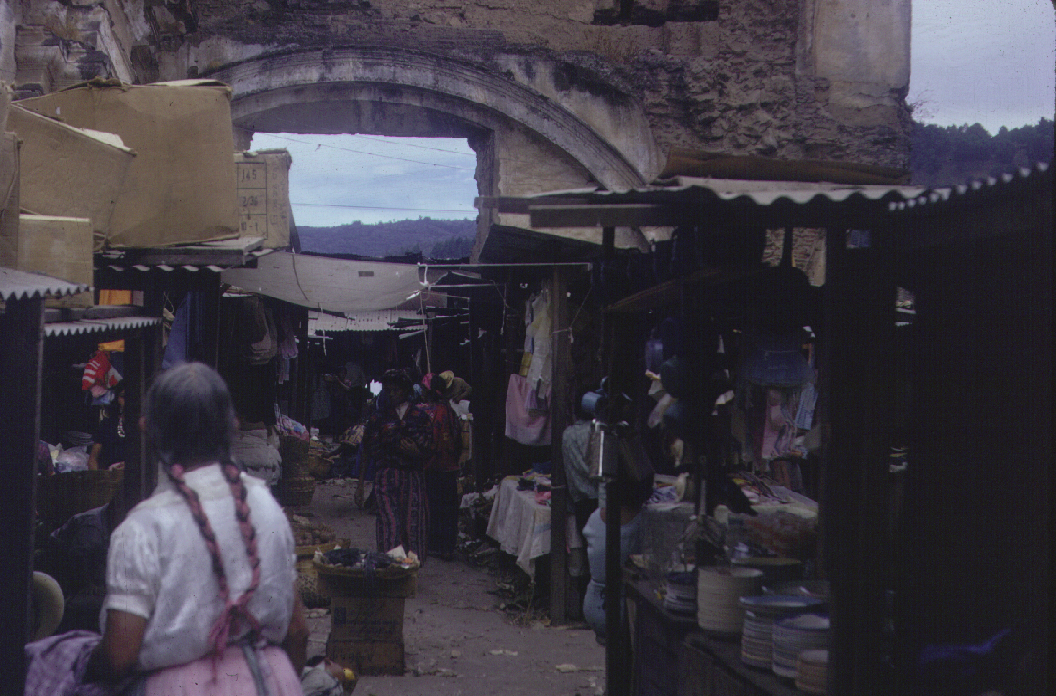
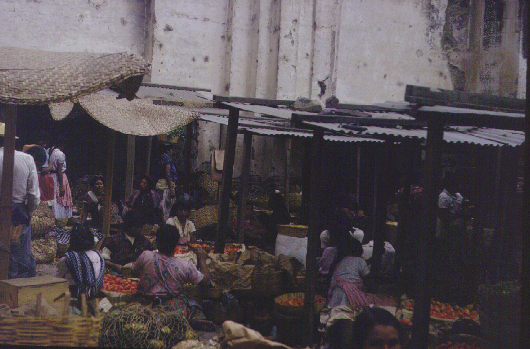
We traveled on to Antigua, which was the old [1540] capital of Guatemala, and Central America in general. It was destroyed in 1773 by an earthquake. There are 40 to 50 churches, all of which were ruined in the earthquake but later rebuilt. We visited the Sepulo del Hermano Pedro siero di dios [San Francisco Church]. I spent some time in the marketplace exploring.
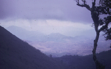
Forward to Chimaltenango where we visited the marketplace and took pictures. Up to Putzum on a plateau-like hill before descending to Panajachel and the lake. The descent was tremendous a drop of some 6600 feet from the top of the mountain to the lake.
January 27th 1967 - Friday.
Today we journey from Salola to Huehuetanengo across the volcanic terrain and into the metamorphics. The geology is covered in Volcanic history of the Guatemalan Highlands by Howel Williams [1959]. During the pre-volcanic episode the surface was composed of Cretaceous Plutons, early Cretaceous limestone and still older metamorphic rocks. The large volcanic cones did not develop until the Quaternary Period. During the Miocene and Pliocene most of the eruptions took place along fissures and produced an extensive plateau composed partially of lava flows but mostly of rhyolites and dacites. Pumice deposits were lain down flowing avalanches with interbedded tuffs, and a few lenses of diatomite. From late Pliocene times on the area was gently folded and faulted. It was at this time the Guatemala City graben formed.
The Quaternary volcanoes are mostly composite cones of andesite, which had a few parasitic cones of basaltic cinders on their flanks. However, many of the volcanoes during the late stages of their growth disgorged immense volumes of dacitic pumice from their summit vents. Some erupted flows of andesitic and siliceous lava down their slopes. The huge oval basin that holds the bea.pngul Lake Atitlan is not a caldera but a cauldron resulting from the collapse as a result of subterranean withdrawal of magma. Part of the basin continues to subside even today due to the eruptions of the lakeside volcanoes of Atitlan, Taliman and San Pedro. Lake Ayarza, on the other hand is a Krakatoan type caldera lake. Lake Amatitlan, between the southern end of the Guatemala City graben and the northern base of the volcanic complex of Pacaja is a tecto-volcanic feature formed by the collapse along lines of tectonic weakness, presumably during the eruption of Mt. Pacaja.
January 28th 1967 - Saturday.
Today we fly back to Louisiana! The event was uneventful and we were all a little saddened to say farewell this picturesque country and its people.
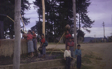
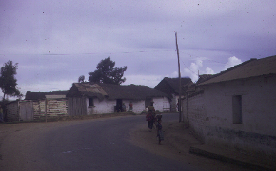
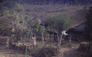
Although the geology and landscape had motivated my visit to Guatemala the culture, particularly it's history and diverse population elements proved to be the immediate memorable part of the adventure. With a population of some 4.5 million [and raising] Guatemala is the most densely populated country in Central America [100 per square mile] with the highlands being the most densely populated and the Peten the least. The mixture of Ladinos [those in western garbs], Spanish, Matzos, Creoles, and Indians provided a fairly diverse culture range. It was apparent that there was a distinct class structure but its basis was not clearly apparent for just over half the population is aboriginal and, in the highlands, native languages are spoken widely.
The Mayan civilization, as is well known, developed in Honduras, Guatemala and the Yucatan peninsular and was equal in many ways to the ancient Egyptian cultural heritage. The Mayans were undoubtedly in the Peten prior to 1000 BC and had a clearly developed grasp of both mathematics and astronomy. Their number system included the concept of zero - an idea that both the Greeks and Romans failed to develop and they calculated the length of the year more accurately than the Julian calendar which was used in Europe until the mid 18th century. The Mayan Empire was not unified and the city-state was the mode of government, as it was in Sparta and Athens. The highpoint of Mayan civilization was the 4th through 7th centuries when the spreading out from Peten to the other parts of Central America took place. The Spanish overran the last independent settlement, which was in Peten, during 1697. The Spanish had conquered Mexico during the 16th century, having landed in Yucatan in 1517 and by 1521 had overrun the Aztec Empire. They moved into Guatemala during 1523 and founded the first Spanish capital in the region in 1524. Independent Guatemala was declared in 1821 and the succession of political entities has been very European and very modern - ranging from the ultra-conservatives to the ultra-socialists, with the communists forever in the background during the most recent decades. Perhaps the most important thing I have come away with is the sad knowledge that the great United States of America allows such poverty to exist on its very doorstep. The limits of democracy are so difficult to define but some form of intervention is necessary to upgrade the quality of life of this neighboring country: much of the problem is caused by overpopulation and the lack government oversight. A severe burden on the women of Guatemala is the lack of a tradition of modern birth control and of abortion rights; and, the classical problem of the need for children as direct, or indirect, income providers to parents because of the lack of social services. Both of these problems relate to poor government control of society.