A JOURNAL
Being an account of a foot-safari from East London to Port Edward, South Africa, undertaken by Miss Patsy-Ann Phillips: a Canadian nurse, and Dr. George Frederick Hart: a British geologist, during the period from Sunday April 18th, 1965 until Friday May 7th, 1965.
George Hart was born in 1935 in Yorkshire, England and obtained his Ph.D. in Geology from Sheffield University. In 1960-61 he became the first western geologist to work at the Academy of Sciences of the USSR on a long-term basis after Stalin's death. He then went to Johannesburg, South Africa as a NATO and then an Anglo-American Corporation Research Fellow, where he often spent weeks in the African bush. He emigrated to the USA in 1966, with his wife Clare and three sons, Vaughan, James and Antony. From 1966 until his retirement in 1994 he was an Associate Professor and then Professor of Geology and Geophysics at Louisiana State University, Baton Rouge, where he specialized in Palaeontology and Historical Geology as applied to fuel resources. Concurrent with his professorship he held positions of Director of the Museum of Geoscience and Director of Research of the Louisiana Geological Survey. He has traveled extensively throughout the world including Britain, Norway, Sweden, Finland, the former USSR, France, Germany. BWCelgium, Switzerland, Austria, Italy, Yugoslavia, India, Nepal, Tibet, Australian, Botswana, Republic of South Africa, Swaziland, Lesotho, Zimbabwe, Mozambique, Brazil, Guatemala, Mexico, Canada and the United States of America. In addition, he has worked on projects from Antarctica, Tanzania, China, Turkey, Saudi Arabia, Congo, South West Africa and Pakistan.
List of slides.Published as part of the Hart Diaries: George & Clare Hart, 1965
AS a schoolboy growing up in England visions and tales of the great expeditions of explorers of the old British Empire constantly surrounded me. My favorites were Livingston, Rhodes and Gordon, and those others who brought knowledge of Africa back to Europe. Like all young people my dream was to be like my heroes. I would traverse the Sahara Desert and visit Timbuktu; sail up the Congo River and cross the East African high country to Zanzibar; seek out the gold and diamond mines of southern Africa just like those explorers of old. Such are dreams.
But life is what dreams are made for. It is the striving for our dreams that makes out lives so interesting. To merely exist is insufficient but we must ever push outward and live with our imagination. Seeking the rainbow end, the falling star, and the view over the next hill.
I am now over 60 years old and I have followed many of my dreams: seen Africa, been to Katmandu and crossed the Himalayas to Tibet, wondered at the vastness of the Great Australian Desert. I am still following my imagination and urge you, my reader, to do the same. Follow your dreams. Live life to its full. You can if you will.
The coast of Africa south of the Zambezi River is a land lush with bush, forest and grassland where a variety of Bantu people live scattered in the hills and valleys and across the high plains. These African people had sprung from the Negro Group of people of Central and West Africa. Both population pressure, and the relaxing of the grip on the southern seaports and rivers by afro-Asiatic traders, during the sixth century, caused and allowed expansion into other areas and the Bantu pushed southwards. They finally crossed the Zambezi River, where they separated into the Nguni, Tsonga, and Venda nations. The raise of Shaka Zulu sent an additional swarm of refugees southwards.
As they move southwards the Bantu met with another group of people: the Khoisan. These aboriginal peoples were the original inhabitants of southern Africa and comprised the San [Kalahari bushmen] and the Khoikhoi [Hottentots] who were small yellow skinned nomads. Unable to resist the Bantu advance, they were either assimilated or displaced further to the south. By the end of the eighteenth century the southern progression of the Bantu tribes had ceased, and in their most southerly center they became a permanent agricultural population in what is now eastern Cape Province. The most southerly of all the Bantu tribes were the Xhosa speaking people, who occupied the territory from the Umtamvuna River in southern Natal to the Great Fish River in Cape province.
Assimilation by intermarriage between different ethnic groups [miscegenation] has been a feature of the history of all major population migrations, wherever they occurred on earth. My old colleague Professor Raymond Dart, the well known anatomist-anthropologist, observed that a study of both fossil, ancient and modern human beings tells us that racial and cultural mixing were a feature of the leading edge of Bantu migrations. The early admixture was between the Negro and afro-asiatic [Hamitic] traders, and as the migration turned southwards; it was with the Khoisan and finally, although as yet to a lesser extent, with the Europeans.
The first Europeans who settled at the tip of southern Africa found a land lightly populated by the Khoikhoi and San. With time these Europeans started to migrate northwards and their first real contact with the Bantu was in 1770, on the banks of the Great Fish River, where the southern migration of the Nguni tribes had stopped. If the Europeans had not migrated northwards into the eastern part of Cape Province, thus blocking further expansion, the Bantu would undoubtedly have pressed to the very tip of Africa by the twentieth century.
A form of multi-culturalism has existed in Xhosa country since the end of the eighteenth century. In fact, the Muntu [plural of Bantu], Khoisan, and Europeans have coexisted in this part of Africa for over three hundred years. Indeed, two of the clans of the Xhosa [the Lungu and the Mholo] are partially descended from Europeans who were shipwrecked in the eighteenth century and took-up residence in the area. Similarly, one of the Ponda chiefs had a European wife. Multi-culturalism in the area seemingly started with the Xhosa line which commenced with the chief named Tshawe, who in the years around 1675 managed to incorporated all the local groups of people into his domain, including some of the Khoisan pastoralists. As with true multi-culturalism the limits of the kingdom of the amaTshawe, as the tribe was called, were neither ethnic nor strictly geographic but political.
The Xhosa land then was an area where the different cultures coexisted rather than clashed. A peaceful lush landscape with a coastline of rocky and sand beaches, precipices and waterfalls, and tangled sub-tropical jungle. This was a wonderful place for an expedition. A wonderful unknown place where an overgrown schoolboy could live a dream and so a safari began.
HOW IT ALL BEGAN.
The idea of taking a foot-safari into one of the wilder parts of Southern Africa was first discussed by Mike Phillips a Canadian geologist working for a mining company called Union Corporation and myself in mid-1964. We considered a number of possible walks but finally decided on the warm, subtropics of the Wild Coast along the eastern coastal plain of southern Africa. River incision causes the entire landscape of this eastern seaboard of Africa to have an undulating relief as the numerous rivers, the chief of which are the Umzimvubu, Umtata, Bashee, and the Great Kei, dissect the coastline. It was the country of the peaceful agricultural Xhosa tribe, the majority of whom had retained traditional ways. Travel in such an area offered the chance to see a landscape little changed by man and tribal ways that would not outlast the century.
Our intended walk was from East London to Durban and we were aware that this walk had been completed by at least 5 other groups within the past few years. Our research indicated they had been a varied bunch. This included a military party of British Royal Marines who did the trip in 10 days without packs; and, an unknown man, his wife and a monkey who did the trip from Durban to East London and back again in a search for work. They used a pack-donkey to carry their possessions. The coastal walker Mike Wriggley had passed over the area we were interested in during his long walk from Lorenco Marques in Mozambique to Knysna in South Africa.
The Glenwood High School Outdoor Society had even traversed it. This grouped of adventurous schoolboys traversed from East London to Port Edward. Their trip took 16 days and a bus was used to transport all materials to each campsite by driving inland to the roads each day and then down to the beach each evening. The most recent walkers were Tony Goodyear and Ray Smith. They did the trip the previous August in full kit, missing only a small stretch of the Mtentu River to Port Edward because of floods.
Mike and I were able to contact Ray Smith, and acquired from him a great deal of information that would be of use to us in our trip. He had kept a diary, which included details of distances covered each day and the type of shoreline to expect. We later talked to Ray and worked out a list of necessary equipment which proved a great aid although we considerably reduced our gear during the process of our foot-safari.
We had now answered the initial three questions for any expedition. Where? When? And How? The where was the Wild Coast from East London to Port Edwards. We estimated the walk would take about eighteen days if we carried a full pack. The when was in the Autumn. The how was by foot safari and rubber dingy to cross the numerous river we would encounter. The rubber dingy led to another question to be answered. Who? It was apparent that a rubber dinghy was necessary on the trip because over a hundred rivers and streams existed along the Wild Coast. In order to carry the dinghy and, in addition, the necessary personal and general accessories, a minimum number of 3 people must undertake the walk. Ideally, each backpacker should carry a weight of not more than one-third of their body weight. Both Mike and I weighed 150 lbs so the total gear we would haul should be no more than 100 lbs. between us. However, much of the walking was in loose sand and this considerably reduces the weight one should carry for distances of over a few miles. The estimated 40 lbs. each would be enough. But the dinghy weighed 22 lbs. We definitely needed a third person. Mike's sister Patsy-Anne became that third member of our party: Pat had done lots of walking in the Rocky Mountains and was extremely fit. In addition, she was trained as a nurse, which would be ideal for a trip into wild places.
The subsequent weeks were hectic. Preparation for the trip was relatively simple but the beauty of the Wild Coast, which is perhaps the most delightful coastal scenery in Southern Africa, attracted both publicity and other people to our expedition and at one time 8 people were to make-up the party. However, one by one, they dropped out as the time approached and finally Mike himself had to withdraw because of difficulty in getting leave from his company. Although I badly wanted to go, I reluctantly, decided Pat and I couldn't do it alone so decided to call the trip off. Pat, however, was adamant that we continue and Pat, my wife Clare and I spent a long time discussing if we could make it. Finally we concluded that if we trimmed our original load to the truly bare essentials we could just about carry the gear we needed. Having decided this I received a message from an another friend of mine, also a geologist with Union Corporation, to the effect that he would come along. This friend, John Eldred, was about to leave South Africa, for Britain, where he would work for the British Civil Service. He thought that our foot safari would be a fine adventure with which to end his stay in Africa. We re-thought our gear once more.
Letting John in on the safari almost ruined it because he first proceeded to Cape Town on leave and, unluckily for us, met an old girl friend and got engaged! He phoned me two nights before we were due to set-off for the Wild Coast and said he didn't think he would make it. Undaunted we reverted to our two-person plan and continued packing. We did make arrangements to meet him at 12.00 noon for lunch, at the Beach Hotel in East London, on Sunday 18th April if he changed his mind. Pat and I once more sat down and trimmed our packs: yet on weighing mine was 40 lbs. and Pat's 37 lbs. This was too much for a walk that was essentially on loose sand and, not surprisingly, during the walk we each discarded some 5 additional lbs.
A sweater and swimming trunks were my change of clothes and a sweater and 'longs' were Pat's. We were to walk in boots with two pair of socks (one thick and one thin), longs (in my case) and shorts (in Pat's case), a bush-jacket/blouse, and Pat wore underclothes. In addition I carried in my pockets a Swiss army knife, a light exposure meter, goggles, and pens. Around my waist hung a hunting knife. The two paddles for the inflatable dinghy were carried by both of us and used as staffs for walking. As my pack was now 35-lbs. and Pat's 30 lbs. she carried the food. As we only carried enough to last two days at a stretch this was not a great weight. Our major and back-up food supply was Pro-nutra: a high protein powder that mixed with rainwater provides a basic food.
We had decided to fly down to East London (at a cost of R19-50c each) and walk to Port Shepstone where the railway commenced. We would return by 2nd Class rail to Johannesburg (R10 - 23c each). The Port Shepstone to Durban part of out original walk we decided to cancel as this was essentially through one tourist resort then another: Goodyear and Smith had done this stretch just for the sake of completeness and had actually walked along the railway line.
EAST LONDON TO THE RIVER KEI
Duration: Four Days
Distances: 38 miles [map]
43 miles [walked]
Terrane: Sandy beaches, sand dunes, rocky shoreline.
River: 16
This stage of the trip gave us a good indication of the sort of terrain we would be travelling over for the next week or so. We traveled essentially on the beach and there was no cause at all to go inland more than locally.
We flew into East London at about 11.30 am and got the bus to the airport terminal from where our walking commenced. Immediately on arrival we made for the Beach Hotel on the slight off-chance that John Eldred was going to accompany us. However, we arrived at the Beach Hotel at 12.00 noon and merely saw a pile of rubble and a new building arising out of the ashes. Unbeknown to us the Beach Hotel had been demolished. We hung around the building site for a few minutes in the hope that John was somewhere around but finally decided to have a good meal before leaving town. We went to the Kings Hotel and had an excellent meal.
Our first river was the Nahoon which was within the limits of East London, and this we crossed by bridge. We headed to the coast and walked along the beach passed Bonza Bay and the blind Quinera Lagoon before making camp a few miles along the coast at Danger Point. Blind rivers are a phenomenon that is very common on the rivers of the East Coast of Africa. One thing that surprised us were that people knew whom we were and we later learned at a grocer's store that our future adventures had been wildly publicized in the local newspaper. This was to actually help us a great deal in the next few days because knowing who we were people gave us all the help they could. As we made our way onto the beach at East London people shouted after us 'good luck' and 'I hope you make it" and this more than ever encouraged us to try and make at least Port Edward. One well wisher remarked to his friend as we disappeared into the sand dunes "must be on their honeymoon".
We had actually walked 6 miles between 2 and 5 p.m. Our camp #1 was in the sand dunes and whilst I got the camp site organized and a fire alight from driftwood Pat got the sleeping bags out and then cooked our Afrikaner sausages and prepared brandied coffee. We turned in for the night at 8.00 PM talking a little about our expectations before we fell asleep. We were both a little apprehensive about snakes in the dune area because they do hunt mainly at night and the rodents of the dunes are a common diet. I slept well until woken by a glow above my head. The log we had been sitting on had caught fire and was burning violently and threatening to set the grass on fire. I doused this with sand and chided myself for not correctly killing the fire. The dune area, where we would be camping most nights was extremely dry and easily ignited. I slept until 5.30 am, arising at 7.00 to a breakfast cooked by Pat. This consisted of coffee, ProNutro and raisins and, of course, sand! By 8.30 am we were on our way once more. So far it had been too easy: the Nahoon River we had crossed by bridge and the Quinera Lagoon was a blind river!
Our second day was to bring us to the Kwelegha River but, also, it was to see the start of our troubles. I accidentally stumbled in the morning and twisted my kneecap. In addition, Pat got blisters on her heel, which necessitated the first use of our medical kit: an event we thought worthy of record.
We continued northeast around the rocky Gonubie point and the settlement of Gonubie before crossing the Gonubie River by wading up to our waists. The current was moderately fast on an outgoing tide but not dangerously so. My left kneecap became very painful and when we stopped for lunch at 1.00 PM Pat strapped it up for me. Only after she saw the swelling did she believe I was suffering: typical nurse I remarked. Lunch was light: Eskort Pie. The walking was relatively easy on the beach or rocky shore but because of my knee we decided to stop early. We arrived at the Kwelegha River at 3.30 PM and as it was relatively deep and swift flowing we had to use the dingy for the first time. Pat, a strong woman, did the pumping and the foot pump broke. Our next discovery was that our new dinghy had a leak. This proved to be an excellent lesson for my future. In all my following years of adventure I have never started an expedition without first completely checking all equipment; and, I always remember our dismay when we first tried to use that dingy! As this was our first try-out we decided to play it safe and crossed the river in three passes. I took my rucksack, returned for Pat's rucksack, and then returned for Pat. Our Camp # 2 on the north side of the Kwelegha River was on the rocks and fine sand at the side of the riverbed. The wind was very high and the breakers out at sea tremendous. We made our camp wind-proof by placing the dinghy at an angle above us and getting underneath. We propped the dinghy up with the oars. We were in a really beautiful spot with the sea to the east, forest to the north, and the lagoon and river to the south. Sunset was 5.40 PM and brought with it a cold wind. We turned in early after a supper of corned beef, bread, cheese and soup. It was an evening of grumbling as Pat's hips ached from the weight of her pack, and her little toe was cut and sore. In addition, the blisters on her foot hurt. Together, we were more like a couple of old crocks rather than the adventurers we envisioned ourselves. Although the going had been easy today we had only covered some 7 miles (straight-line measured).
Our third day saw a late start at 10.00 am with my knee feeling extremely painful. However, I decided the only thing to do was to try and walk my knee back into condition. This is a painful but often-successful method with strained ligaments and pulled muscles. Anyway the pain was bad enough without movement and I doubted it could be much worse. but I was wrong! If it did not work we would be either stuck in one spot for four days till I recovered or have to retire with failure back to Johannesburg.
The first few miles, to Bulugha Mouth, was walked along the low track. The low track is the one on the grass immediately behind the beach and contrasted with the high path, which occurs along the top of the hills to the seaward side, or the back path, which occurs on the landward side of the hills. Fortunately, the River Bulugha was blind and we hoped to make Cintza by 2.00 PM: which we did. Our path took us in and out of the rainforest as we crossed low ridges and valleys. Many of the rocky outcrops were of the Beaufort Sandstone and I made geological measurements [locality one] on the ancient current directions as part of my reason for the expedition was to gather data on the closure of the great Karroo Basin of Permian times. The study of which I was occupied with back at the University. By this time my knee was in really bad condition, the pain forced the decision to stop for an hour, and finally to stay the night on the north side of the Cintza River (which also was blind) in order to give my knee a long rest.
Our Camp # 3 was pleasant enough and lay in the sand dunes. There was a local native store a short distance upstream on the northern bank and we refreshed some supplies. After a very nourishing supper of soup, bread, and tinned peaches, washed down with brandied coffee, we turned in early. In all we had again done only about 7 miles, as the crow flies, that day.
The fourth day saw us on our way at 7.00 am with the intention of walking an hour and resting an hour if necessary. The going was relatively easy along the hard sands produced by the high tide. The wind, which had previously been quite hot now cooled and the day was overcast. The winds blow mainly parallel to the coast and occasionally reached gale force. When the wind is out of the northeast the sky is cloudless and somewhat hazy but as it veers and becomes a southwest wind cool cloudy weather with rain creeps in. The wind had shifted today and was coming from the southwest. When the south wind reaches gale force the rain is cold and sweeps at you almost horizontally. The Coastal Plain rainfall averages between 1000 and 1400 mm per year, normally falling as light showers with perhaps 20 to 30 thunderstorms a year.
We crossed the blind river Cefane and then easily made the blind Kwenura River by 9.00 am. Walking was only hampered by my knee. The easiest way to walk was by throwing my left foot forward, stiffening it as I passed my right foot by it and to the front, and then finally dragging it and once more throwing forward my left foot. To do so properly I had to really concentrate on my feet. If I made a mistake it was very painful but I was surprised how my movements adapted to avoid the pain. I recalled words of my father, who was an ex-Sarjeant Major in the British Army, and I used them as a mantra: keep moving, keep moving. Once when my parents and I had been out walking in the wooded countryside of England around my hometown of Darlington, a particularly vicious thunderstorm came up. My mother and I were petrified as the lightening was striking the trees all around us. My father kept saying keep moving, keep moving. I have used this as my mantra on other more dangerous situations since and it always helps to place my mind outside of the real situation.
After crossing the blind Nyara river at Cape Henderson, where we arrived at 10.30 am, we decided to stop and have ProNutro with chopped-up chocolate, and a drink of coffee for breakfast. From then on we made for Haga-Haga, which is a delightful fishing and holiday village with a store, two hotels, and about 30-40 houses. The coast line from Cintza Mouth to Cape Henderson is all hard sand or sand dunes but from Cape Henderson to Haga-Haga it is completely different: a rugged rocky shore, certainly the rockiest so far.
We left Haga-Haga at 4.00 PM having managed to get rid of about 5 lbs. weight each. A Mr. and Mrs. Adrienson, of 41, 3rd. Avenue, Mayfair, Johannesburg took this back to Johannesburg for us. This included such useful but unnecessary items as the torch, axes, spare socks, pac-a-mak, knife & fork (only a spoon is necessary if one carries a hunting knife), altimeter, geological lenses, and plates! At Haga-Haga we stocked up with food (R2-20 c) and had a pleasant chat and tea with the storekeeper.
Upon leaving Haga-Haga we decided to try and get as far as the double-mouthed river just before Morgan's Bay. We made this without any problems. The scenery south of the Morgan's Bay area consists of small sandy bays and rocky promontories. The overcast day meant that the region around the river-mouths was quite humid so we decided to camp the night at the deserted Forester's Cottage at Mtendwe mouth: sleeping on the stoop. There was a folding bed, which Pat used and I blew up the base of the dinghy, which was less comfortable than the grass and sand of previous nights but protected me from the hard concrete of the stoop floor. We got a good fire going on the grass just behind the trees that lined the sea front. There was plenty of driftwood and we warmed ourselves with a roaring blaze. Our supper consisted of vegetable soup, pork luncheon meat and coffee.
Waking the fifth day we found the weather somewhat inclement: very damp and foggy. We start our journey at 7-40 am, with the intention of reaching Wave Crest [ca. 16 miles] via Morgan's Bay, before nightfall. The route crossed the Quko river with a lagoon immediately behind the shoreline. We located the approximate point where the shipwrecked mariner, James Stockdale had died in the early days of exploration of the Wild Coast. The route to Morgan's Bay was initially on the beach but for the second part we had to take the high road next to fenced land. After a difficult walk in which we had to cross a number of shallow but difficult ravines along the rocky shore we arrived at Morgan's Bay and had coffee and a huge pile of sandwiches at the Mitford Hotel. A very welcome break. In conversation with Mrs. Mitford she said she was about to drive 4 miles along the coast track to the Kei Mouth and 'would we like a short lift?' We willingly accepted her kindness and were soon crossing the river in the local native ferry [at 5 c each!]. The ferry man asked if we were off to Durban and when we said yes he asked "what for?' and was seemingly satisfied by our reply 'Because we want to see the beautiful coastline of the Transkei." We were grateful for the native ferry which saved us the 45 minutes it took us to make our dingy crossing and allowed us to enjoy this river without testing it's danger.
THE RIVER KEI TO BASHEE RIVER
Duration: Three and a half Days
Distances: 48 miles [map]
58 miles [walked]
Terrane: Sandy beaches.
River: 24
This was a more difficult stretch than the section to the south of the River Kei, and probably the most tiring of the whole trip.
After crossing the River Kei we traveled for about two miles on beautiful hard sand and in its extent awe inspiring. The sand flat stretched some two miles ahead of us and was totally desolate. We stopped in the shade of a large rock outcrop for lunch. I took geological measurements [locality two]. And then went down to the rock pools at the shoreline and managed to catch a small octopus for supper. I was quite pleased with my effort and as I turned to call Patsy-Anne the thing wriggled and escaped. We ate lunch of ProNutro, raisins, water and chocolate. Upon recounting the octopus tale later at dinner Pat got somewhat upset when I noted I had attempted to kill the beast with the knife she was eating with.
During the days walk the wind was persistently strong and blowing towards us and we really did well to cover 12 miles by 5.30 PM. Just passed the Qolora River we stopped a little exhausted and crept onto the stoop of a coastal shack. However, three hours of tossing and turning on the concrete saw us moving out onto the grass amongst the ticks: our Camp # 5. We reminisced that we were now in the vicinity where John Howes of the GROSVENOR died in 1782 .
Day six saw a moderately early start at 7.30 am as we rounded Mound Point and approached the Kobonqaba River. We headed for Wavecrest with the hope of passing Cebe and spending the night at Mazeppa Bay. We kept to the high path all the way to the Kobonqaba River and were kindly ferried across by a local European gent in a canoe. He lives in a shack with his wife on the south side of the Kobonqaba River. The wife seemed a little of a recluse as she wouldn't come out to meet us but followed us down to the river and hid in the bushes watching us. The Kobonqaba River contains the endemic Kobonguba River Romoan, a fish of which only three specimens are known [see L. B. Smith's "Fishes of Southern Africa".] There are very few species of indigenous fresh water fish in the rivers of the region. Migratory eels [Anquilla mossombica & A. marmorata] are the main prizes for the fisherman throughout the river system. Rainbow trout and Bass have been imported and a government program stocked many of the rivers. In the Umzimvubu River, for example, the only fresh water fish used to be the small Gilliminkie [Barbus anoplous or B. karkensis].
After passing the Kobonqaba River we again took to the high path above the rocky Kobonqaba Point, and continued on it all the way to Wavecrest at Nxaxo mouth, where we arrived at 10.30 am. Wavecrest is a delightful fisherman's residence overlooking the sea and there is a deep lagoon. We got the ferry across the Nxaxo river and in very cloudy and windy weather decided to strike northwards towards Cebe. The humidity was exceedingly high and the going was tough because one walked down into a hollow full of sea mist and then up onto the crest devoid of mist. This is repeated rapidly for a few miles, by the end of which the variation in humidity has produced tiredness. Sandy point and Bowker's Bay were attractive but we were happy to see the village of Cebe. Beyond Cebe the coast is very rocky but the Cebe River was shallow and easily waded. We passed into the climax forest on the north side. The wind now increased in intensity and veered from NE to SW and we expected rain to come soon.
The vegetation of the coastal plain is a dense forest growth along the coastline and in the larger river valleys. The valleys are hot and receive less rain than the intervening ridges and contain the Valley Bushveld vegetation consisting principally of Dombeya cymosa, Euphoria tirciucalli, Acacia arabica, Acacia kaRroo, Ziziphus mucronata and Aloe spectablis. Grasses grow between the trees. The vegetation of the ridges is the Eastern Province Thorn Veld although the Common Sweet Thorn [Acacia Karoo] is actually rare and replaced by the Thorn Tree [Cassia mimosoides]. The inland part of the coastal plain has the Coastal Forest vegetation of evergreen trees and shrubs with a wide variety of under growth, mainly ferns and climbers, forming a very dense, tangled jungle. There is an amazing variety of species. Often overgrazing by the local Xhosa tribesmen has altered the natural vegetation. Amongst the Xhosa cattle are highly prized and take precedence over the vegetation as far as the people are concerned.
A short walk north of the Cebe River is the Gqunge River, which, once more, we waded, passing Stoney Point along the path immediately above the rocky beach. After wading a further river we came to the Kwa Manube, which most fortunately was blind. At this stage the southerly wind started to bring heavy rain. Coming from behind and been driven by the high wind the rain absolutely soaked out rucksacks and all their contents. For a while we sheltered on the stoop of a holiday shack and after smoking two cigarettes and finishing off the last of the brandy, which was a hearty amount, we went on our way somewhat inebriated. The rain had slackened and the wind was no longer driving, and we decided to make haste to Mazeppa Bay, which lay about 3.25 miles away across the Mcelwane River. There was supposed to be a fisherman's Hotel at Mazeppa Bay where we hoped to find respite from the weather. We crossed all the rivers without incident, most fortunately so, as the rain came down in sheets, and we were literally soaked to the skin.
On arriving at Mazeppa Bay, which turned out to be a fairly large fishing village consisting of weekend cottages and a hotel, the place looked deserted. Assuming it was off-season we selected a shack with a dry stoop to sleep on but then decided to go over the next hill to see if there was anything more comfortable. Fortunately we saw a light, which turned out to be the Hotel, [open all year 'round]. We had actually been on the Mozeppa Point side of the town. At the Hotel we took a couple of single rooms and had hot baths. We both agreed that our Camp #6 was going to be more comfortable than previous nights. Unfortunately, everything we owned and stood in was soaking wet and we had to eat supper in damp clothing. The hotel staff was very kind and took all our stuff and put it in front of the kitchen fire in the hope that it would dry out by morning. I went to supper in a sweater and a towel covering my swimming costume; and, Patsy-Ann wore damp trousers and a soaking blouse. We had a reasonably good supper and were in bed by 8.15 PM. I slept contentedly, sheltered from the outside weather, and knowing we had caught-up to Goodyear and Smith's time for the trip. My leg had held us back but with a good walk tomorrow we should pass their time.
We were still somewhat damp the next morning and decided to breakfast in the hotel and get a late start. We hit the track at 9.0 0 am on our seventh day and hoped to make camp beyond the Nagaba River and so get to the Bashee early tomorrow. We set out along a well-worn path from Mazeppa Bay Hotel and passed the headland, then crossed the Mazeppa Bay itself along the beach, which was quite a long haul. The River Qora lies immediately beyond the northern headland of Mazeppa Bay. We crossed the Qora by native ferry under cloudy but fair weather. We saw only 2 - 3 minutes of rain the whole day. The wind was fairly high and helped to completely dry-out our walking clothes.
After the Qora River we took to the path immediately above the beach and waded the next river, and headed further north to the Ngcizela. The Ngcizela River was deep yet narrow and we had to use the rubber dingy. This involved almost an hour of our time for a mere 20 yards. It was not the only time during the day we had to inflate the dingy. The Shixini River also was very deep and about 40 yards wide.
Between the Shixini and Ngaadla lies Shixini point, where lies the wreck of the Formisa, a 300-ton vessel that was now just a skeleton. The Ngadla River was crossed by stepping-stones. On the southern bank we stopped for a cigarette break and shared our few cigarettes with 4 Xhosa herd-boys, who had followed us for the last half mile. Xhosa male children are taught to herd animals from a very early age. They start at around six years old tending the young goat kids, which are around the family kraal. By ten they have progressed to calves and thus wandering further away from the village. By the time they are fourteen or fifteen they are full herd boys tending the family cattle. Girls are started on household duties also at around six and continued to do this until they became housewives and mothers themselves. We took photographs of the herd boys before bidding a laughing farewell.
Leaving the Ndagla region we decided to move as quickly as possible to the Nquabara River, crossing three blind rivers on the way. Unfortunately, by 5.30 PM my leg absolutely refused to go any further and I literally staggered to the riverbank of the Nquabara and made our camp #7. We first inflated the dinghy, as we would have to cross to the other side in the morning. We camped in the sand dunes between the sea and a lagoon. I was incapacitated and Pat did most of the work. I gave my leg heat treatment in front of the fire as I ate bully beef and drank coffee. We turned in a 7.30 PM and lay looking up at the most awe inspiring sky I have every seen. Indescribable beauty. Bright pinpricks of stars on a pitch-black backdrop. The Milky Way stood out so clearly it was like a fairy tale night. We tried to photograph the scene but could not get the correct exposure. We went to sleep with the knowledge that the Universe was immense. Tomorrow we cross the Bashee.
Day
eight saw my knee a lot better. The Nquabara was crossed with some
difficulty because of high winds and we made the north bank at about
9.00 am. We had lost one of the wings of one of our paddles and this
made rowing even more difficult. After crossing the Nquabara we came to
some shacks and a camping ground where we climbed on top of a rainwater
barrel, removed the filter and scooped out the days water supply. We
had breakfast at about 10.30 am of ProNutro and rainwater! The Bashee
River was now only about
9 miles away or
even less, and we hoped to make it by
3.00 PM in good physical condition. The weather was still extremely
windy. It was a cold wind creating
12-20 foot
waves. We had some hill and vale
traversing to do, requiring successive up and down about 200 feet of
elevation and this took it's toll on my knee: but the pain was minor
compared with earlier days. Most of the rivers in this area were dry or
blind and we did not even have to wade across them. Occasionally we
went inland, along the back path, and found the natives very friendly.
Arriving at the
Bashee River
Day eight saw my knee a lot better. The Nquabara was crossed with some difficulty because of high winds and we made the north bank at about 9.00 am. We had lost one of the wings of one of our paddles and this made rowing even more difficult. After crossing the Nquabara we came to some shacks and a camping ground where we climbed on top of a rainwater barrel, removed the filter and scooped out the days water supply. We had breakfast at about 10.30 am of ProNutro and rainwater! The Bashee River was now only about 9 miles away or even less, and we hoped to make it by 3.00 PM in good physical condition. The weather was still extremely windy. It was a cold wind creating 12-20 foot waves. We had some hill and vale traversing to do, requiring successive up and down about 200 feet of elevation and this took it's toll on my knee: but the pain was minor compared with earlier days. Most of the rivers in this area were dry or blind and we did not even have to wade across them. Occasionally we went inland, along the back path, and found the natives very friendly. Arriving at the Bashee River we saw the ferryboat on the other side but no ferryman. Native children were playing in the boat and they heard us when we hailed the ferry. They tried to row across to us with two broken tree trunks as oars. We waited about 20 minutes before breaking-out the rubber dingy and rowing across, wondering if we would have to rescue the children before they got swept out to sea! The river was quite wide and full of wavelets so I did not take the packs but intended to bring the ferry back to pick up Pat and the gear. The crossing was a little tricky mainly because of our broken oar and when I got to the other side I discovered there were no oars in the wooden boat. There was a south to north wind and I couldn't row the dingy back against it so I decided to push on to the Haven Hotel and look for the ferryman.
The Haven Hotel is one of the oldest hotels on the Transkei coast and lies about a mile north of the Bashee River crossing. I beached the dinghy and set off at a fair trot to locate a ferryman. I found him without difficulty but initially he would not come and ferry Pat and the rucksacks. I found a younger fellow and he got the oars and came back with me and we soon had Pat safely on the north bank and thence to the Haven Hotel. The hotel turned out to be a wonderful place, full of tremendously hospitable people [especially Mrs. Dee Cummings, who is a permanent resident.] We met a Mr. and Mrs. White there. Mr. White works at the M. & E. stores and knows many of the people I work with at the University of Witwatersrand. Dee Cummings supplied us with a welcome beer and Mr. Hill, the owner of the Haven Hotel, refused to allow us to pay for our board. He said we had walked to the Haven from East London and anyone who did that had earned their board! So our camp # 8 was the luxury of a real roof over our heads. Apart from the uniqueness of the place one of the most pleasant parts of this respite was the hot bath and being able to clean my teeth in pure water rather than seawater. Such hospitality is really well appreciated on a journey such as ours. I finally managed to send a telegram to my wife Clare to tell her we were safe and well. Later I was to learn that this was not what the local news media had been reporting. In fact we were reported missing on the Wild Coast.
BASHEE RIVER TO COFFEE BAY
Duration: Four days including two days rest
Distances: 28 miles [map]
35 miles [walked]
Terrane: Highly shelving sandy beaches.
River: 20
This stage of the trip took us just over two days, a rather arduous journey and unfortunately ending with Pat ill due to drinking contaminated rainwater. It was during this stage that I first thought about leaving university life and seeking the luxury of a permanent job in the United States. This trip certainly makes one appreciate the benefits of civilization and home comforts.
The next day saw our tremendous send-off from the Haven Hotel, in which we were loaded-up with apples, hot coffee and sandwiches. We took the road to the Mpenzu River, a mere 15 minutes walk, with the intent of making camp on the banks of the Bulungula River by nightfall. The resident handyman at the Haven Hotel fixed our oar and we were ready to tackle river crossings once more. We set off late, around 10.30 am, and waded the Mpenzu River which was only about a foot deep due too the out flowing tide.
The next major river was the Mbanyana and our route lay along a poorly compacted sandy beach, which made walking difficult and slow. The beach was highly shelving and this meant we were walking along an incline all the way. This is very difficult to do in loose sand. The sun was hot, with a moderate wind and although we could have veered to the high or mid paths we decided to stick to the beach with its sand and numerous small rocky outcrops. There are numerous storm beaches in this part of the coast made up entirely of whole shells in beautiful states of preservation: an absolute magnificent sight. Inland was the Cwebe Forest which would probably have been cooler but no more difficult walking. The next few rivers were blind and we finally saw the Xora. It was a shock to us both. The river was about 200 yards wide and flowing exceedingly fast. We had been warned that sharks were common in the mouth of the Xora. Sitting on the bank we assessed the situation and decided to walk inland a mile or so to look for a better crossing point for the dinghy. Scanning the riverbank I noticed a fisherman's boat anchored in a rocky inlet and a cottage close-by. We asked the fisherman if we could get a lift across the Xora and he agree and promptly sent his 'boy' with us to the shore. Once on the river we saw how dangerous the Xora looked. It was an order of magnitude more ferocious than either the Kei or the Bashee rivers.
The Bulungula River is only a short trip from the Xora and we made it by 4.00 PM. It also is deep and swift but fortunately is only some 20 yards across. We quickly inflated our dinghy and crossed without mishap. Once Pat and the gear were across we made rapidly for the first rock outcrop, deflated the dingy and set up our camp # 9. Supper that night was fish cooked in tin-oil, apples, sandwiches, soup and coffee all supplied by our friends at the Haven Hotel. No ProNutro tonight thank Allah. Tomorrow we expected to make Hole-in-the-Wall and in order to spend a goodly amount of time there we hoped to make a 5.00 am start.
Our good intentions turned not into reality on our tenth day out, and we arose at 6.15 am and broke camp only at 7.00 am. We walked directly to Mpame Camp along the coast and made it by 10.00 am. Now we were traversing the typical southern facies of the Dwyka Tillite of the Upper Palaeozoic rocks. These fascinating ancient glacial deposits were the subject of study by one of my graduate students back at Witwatersrand University and I myself had written about them. The going was tough as we had to go up 200 - 400 foot hills and down into valleys full of mist. This was repeated over and over again. At one stage I went around a headland and the track stopped. I went up the cliff, which in retrospect was a stupid and dangerous thing to do with a full pack and the raging sea below me. Common sense told me to turn back and go inland but I ignored it. Fortunately I did not slip. But now a days I accept that judgment is the better part of valor, and would not be so stupid again. Along this part of the coast there are many rock outcrops and numerous channels in the rocky shore where one can swim.
Whilst walking to Mpame Camp we had to occasionally take the back path, and passed through numerous kraals. The people were always very pleasant, laughing and smiling as they shouted and waved to us. The presence of the click sounds in the language was fascinating to hear. I had heard it before amongst the Bushmen of the Kalahari and in the Xhosa it was a clear example of the admixture of Khoisan and Nguni cultures.
The Cape Nguni live in family homesteads [imizi] scattered across the tribal region, rather than in closely settled villages like many of the other Bantu. These homesteads consist of from 2 to 40 huts grouped around the circular cattle kraal. They face eastwards away from the prevailing rain. As we passed through the homestead the people came out and shouted friendly [?] remarks to us. At one hut a drunken gent dashed out of his kraal, took one long look at us then dashed back in again to soon appear with a cracked enamel bowl full of what looked like dirty soapy water. He asked ' Do you want to drink some Kaffir Beer' [since renamed Bantu Beer under the whip of political correctness], and as it was rather difficult to refuse I drank it. He then said Pat should have some but as it tasted like what I imagined goat's urine to taste like I declined on her behalf saying she was 'Only a women and we shouldn't waste it on her'. He laughed and accepted that well enough and Pat was [gratefully] relieved. But I had to drink the rest of the beer.
At Mpame Camp we lit a fire and brewed coffee, which got rid of the taste of the Bantu brew. Mpame Camp was a pleasant place, snuggling into the side of the hill with the Mpame Forest behind it, and deserted at this time of the year. It was a very hot day and the route from Mpane to Hole-in-the-Wall lay over 200-foot high hills with valleys extending down to the sea. The day was ideal for swimming but there was no beach to speak of! The coastline from the Bulungula mouth to beyond Hole-in-the Wall has numerous areas where the Dwyka Tillite and Dwyka Shales are cropping out and I had a lot of interest in quickly examining the deposits as we passed across them.
The scenery around the Hole is certainly spectacular and after using the dinghy to get across the river we spent the better part of 2 hours there. The river itself was very pleasant: deep and slow. On the north side of Hole-in-the-Wall there are camping sites and we obtained more water from one of the inhabitants of one of the holiday shacks. The Hole-in-the-Wall is just one of the erosional features, others include Whales Back, The Kings, and Black Rock.
Coffee Bay is some 25 miles by road and a mere 5 miles along the beach. We set off again at 3.30 pm crossing the Ntonjana River. The going was somewhat similar to the morning trek: up hills and down valleys to the beach. Some of the remote beaches were absolutely fantastic, with succulent's 25-30 feet high. However, from the walking point of view we seem to have made a mistake and we should have taken the back path rather than the high and low paths we were then traversing. There are too many deep valleys and one mile on the map is at least one-and-a-half miles walking and takes about twice as long as it would have done on the back path! We did not make Coffee Bay that night but made camp #10 on the grass verge of a rocky beach about a mile from Coffee Bay. We had ProNutro followed by soup for supper, finishing off with a cigarette before turning-in at around 7.00 pm.
We woke at 6.00 am on the eleventh day and were somewhat startled to see a local native standing over us staring down at us. We were each snuggled in our sleeping bags and must have appeared like huge cocoons. She said something to us and pointed to the sea and after a little discussion with her we gathered she had asked 'Did you come out of the sea?' We answered 'No!' and she went away shaking her head and looking quite puzzled. Some local natives showed us the path to Coffee Bay and we arrived at the Ocean View Hotel for breakfast.
At the Ocean View we had a bath, cleaned our kit and arranged for our laundry to be done. The idea was to spend the day resting, sleep the night, and set-off the next day. We rested most of the morning and went down to the shore to post letters, cards, and film. I bought a couple of native baskets to use as waste-paper baskets at home and posted them off to Clare. Grass work is common amongst the Xhosa, however, may of the traditional Bantu crafts such as pottery making, iron working and woodcarving are rarer. The toughness of the material makes good baskets. Today, 1999, I still use both of the waste-paper baskets daily and they are in as good condition as they were the day I purchased them. In the afternoon I went for a walk along the beach and mucked around in the rock pools before returning to the hotel for supper. Pat had a violent stomachache and we turned in early.
The next day Pat was very ill with stomachache, vomiting, diarrhea and the shivers. As she ached all over I thought it might be tick-bite fever or sunstroke. I phoned Clare and told her what had happened and said if Pat wasn't better tomorrow we would go to Umtata and make for home. Thus our camps # 11 and 12 were in the hotel at Coffee Bay.
Fortunately the tomorrow proved a lucky day. Although Pat had the runs and stomachache she felt a lot better [at least she said so and insisted on going on, even though I thought she was still pretty sick]. The thirteenth day was warm and pleasant, although a trifle humid in the afternoon.
COFFEE BAY TO PORT SAINT JOHN
Duration: Three days
Distances: 31 miles [map]
44 miles [walked]
Terrane: Rolling hills.
River: 15
The walk from Coffee Bay to Port Saint John took us three days and was relatively easy going. This was fortunate, for although my knee was now better and we were both adjusted to the daily treks, we were a little tired and Pat was still rather ill and had a sore ankle. We were amused to read a newspaper report about our trip that I had dropped out of the walk just after leaving Coffee Bay and John Eldred had continued on with Patsy -Ann!
From Coffee Bay we crossed the dry Mapuzi River and then followed the high and back path to the Mtata River , which was quite wide but not swift. There was a boat and oars but unfortunately I could not see the local ferry -man. We waited about 20 minutes and then got into the boat and proceeded to pull in anchor. At this point the ferryman appeared and rowed us across. He had been fishing on the point. Pat was still unwell and we decided to continue taking things easy. We stopped and had coffee at the local fisherman's hotel at Mankosi just south of the Mdumbi River. This was by far the cleanest place we had seen on our journey although the coffee was not so good!
The Mdumbi River, was extremely wide, between 1/4 to 1/2 miles. However, the natives were wading it so we tried. We initially tried at the wrong spot and by the time we went back and got to the place the locals were crossing the tide was coming in quickly. We had to wade up to the waist and if we had waited another 10 minutes would probably not have made it that night. The technique for crossing one of these rivers is to get up high and look for the sandbanks. Then go into the river following the crests of the underwater sand ridges. It is usually possible to cross the river in this way because along the line of sand ridges there is not much depth variation from one ridge to the next but in the other direction the sand bank drops off into deep water.
After the Mdumbi River we had a pleasant walk along both rocky and sandy beaches to a group of large shacks which represents Priestly Bay at Umbombo Head. This was an area where there was again interesting Karroo outcrops and I spent some time examining the deposits. For our camp # 13 we spent the night on the lawn of a shack and put our kit onto the stoop. Unfortunately, it was Friday evening and people were coming down to the coast for the weekend. All evening we were kept awake as cars came by along the dirt road. We were a little worried that someone would come to the place we were using particularly as we had lit a fire outside their kitchen door! I had beans and coffee for supper eaten off the blade of my penknife as we had lost our only fork! Pat is a little better but very dehydrated. and she only had coffee for supper. Unfortunately, her ankle is very badly swollen once more.
We left Priestly Bay at 6.20 am on the fourteenth day of our walk. We easily made the Mtakatye River by 8.30 am. This was quite an exciting little walk as we went all the way by the beach track and it involved a cliff climb in two places. This stretch could be quite dangerous in wet weather. At the Mtakatye we saw a motor boat on the river from a distance and when we reached the river bank Pat went off to find out if they would give us a lift across as it would save us blowing up the dingy once more. Pat was still ill and I was a bit worried about here, her ankle was really bad and her 'runs' even worse. She was badly dehydrated. I decided to observe how she lasts the day out and how her health is at Port Saint John. If things did not get better we would have to cut the trip short and go back to Johannesburg. I know if I decided to do this she would scream bloody murder and never forgive me! So I did not tell her my thoughts
Upon her return Pat had arranged a lift over the Mtakatye River. It was wide and deep but not too swift and we were able to continue on the rocky beach at the other side without mishap. We were both badly in need of water and Pat was really suffering from dehydration. We made Hlueleka Store by 11.30 am and had 4 bottles of soft drink, 3 cups of tea, and 1 water bottle full of water [we had not drunk in 18 hours]. The native store was quite pleasant and we bought a native beer strainer each, which we intended to post at Port St. John. Again this still adorns my home in the Rocky Mountains: after almost 35 years. As Pat was quite weak we decided not to try to make Port St. John but to aim for the Dutch Reform Church Mission Station where Goodyear and Smith had spent the night. Pat really needed food and drink and a long rest. I thought we might spend an extra day at the Mission: after all this entire trip was not meant to be a marathon merely an attempt to get away from our normal life-style. Mr. Hawkes at the native store directed us to the Hlueleka Farm, which is known as the local paradise.
Hlueleka farm was given by the local chief to a German immigrant, in gratitude for some deed, and Mr. and Mrs. Herd later purchased it from the owner. Mrs. Herd now lives there with her mother, Mrs. Ahrens, aged 95, and they farm cattle. The place is a virtual paradise in the wilderness. They have leguan, buck, Egyptian geese, and many other types of birds. Her garden is full of beautiful flowers and her grounds full of Kikuyu Grass, which she planted so they would be green most of the year if kept well watered. They have no difficulty with water as a small stream has been dammed. Mrs. Herd insisted we remain for lunch, which we gladly accepted. Pat was terribly ill with stomachache and diarrhea despite taking 8 cattle pills [Mrs Herd insisted they work wonders with cattle that had diarrhea and Pat was ready to try anything], kaolin, and the local brew called 'Jones' which we bought for 5c at the Hlueleka Store. We reluctantly said farewell to Mrs. Herd and Mrs. Ahrens at 2.30 pm, realizing we would not make the Mission by sunset.
Fortunately the Mnenu River was blind and after passing Rame Headland we made our camp # 14 just beyond the Mhlongo River. Most of the walking of the day had been on the back paths and we thus went through numerous native kraals. We were always asked [at least we think we were asked!] where we were from and where were we going. It is better to name the last river and the next river if you don't want complications. During the day my rucksack straps snapped and I ended up with the bag completely detached from the frame at the top. Fortunately I had some rope from the dinghy with which I was able to do a rapid repair job.
We had camped at a small inlet right on the shoreline. This seemed pleasant enough at first appearance but we were too near the sea and unsheltered by sand dunes. Consequently the next morning our sleeping bags were soaking with dew. At about 12.30 am Pat woke me up with a start and pointed to the hills. The natives had set the trees alight, which was an unusual thing to do as they normally only burn the grass. In addition, they were running around with flaming torches. We were certainly scared and considered moving camp. However, kraals were all around us and we could only have moved into the sea: this we decided to do if any problem arose. We found out later that we had witnessed a religious ceremony designed to bring on the rain, as there was a drought! Nevertheless, at the time we both spent a very sleepless night.
Dawn the next day was truly magnificent and we were up at 5.45 am. We made Mpande Mouth Camp by 8.30 am and decided to travel inland by the road that crossed the Sinangwe River and skirted the Isilimela Mission. We had decided to head for the main road at Tombo and would hitchhike to Port St. John, as Pat was still very ill. By getting to Port St. John early she could have a good night rest in comfort. About 2 miles passed the Mission we met the Dominee [the Minister in the Dutch Reform Church], who asked if we would like a lift and he took us the ten miles to Tombo and then went south. We continued north. We regarded today a lucky day as we had only walked 5 miles and could make Port St. John by 2.00 pm if we pushed it. We started walking and stopped at the Mngazi River for lunch. Shortly afterwards the Dominee again appeared and gave us a lift another two miles! After that we walked into Port St. John getting a final lift a couple of miles from the Winston Hotel, where we arrived at dusk. We would probably have arrived earlier if we had continued walking on the beach.
Mr. and Mrs. Roberts ran the Winston Hotel. It was so nice to have a beer, bath, shave and soft bed! This was to be our camp # 15. We had only walked 12 miles that day and had taken lifts for 15 miles. I must admit it was pleasant to sleep in the hotel and get away from the rugged out-doors for a while. I had time to reflect on the attitude of the Bantu we had met in the local kraals. They had no appreciation of why we would want to go on a long walk! I couldn't make up my mind whether this was naivete or rural stupidity! Mr. Roberts sat and chatted with us and told us tales of the Black Mambas at the Msikaba River. According to him we would be passing right through their territory and it was now breeding season and a time when they attack if only slightly suspicious. However, Mr. Roberts did seem to go in for fairy stories, as his later comment to the press about us proved. He did warn us not to camp in the Msikaba area under any circumstances because of the Mambas, and not to wade the rivers in the evening if the water was luminescent as the electric rays are active at that time of day and can give a tremendous shock. I declined to tell him that the luminescence had nothing to do with the electricity from the rays but was the presence of Dinoflagellates [a group of organisms of which I was regarded as a specialist in].
PORT ST. JOHN TO PORT EDWARD
Duration: Four and a half days
Distances: 67 miles [map]
95 miles [walked]
Terrane: Flat lying hills.
River: 33
This stage took us over the classical part of the Wild Coast and it was certainly the easiest part of the whole trip. We generally took the high and back paths on flat lying hills formed by the Table Mountain Sandstone of the Cape System rocks. We took five days over this part of the trip but I reckon it could be done in three days if necessary. According to the local newspaper reports Pat and John [Eldred] were lost somewhere between Port St. John and the Msikaba River. We read this in a newspaper after the trip and whilst on the train from Durban to Johannesburg. Apparently Mr. Roberts had talked to a reporter! We laughed and hoped that they found poor John as he was due to get married very soon!
The scenery changes radically after Hole-in-the-Wall � becoming fairly constant rolling hills that are dissected by valleys with steep sides. The steepness of the sides generally necessitated going down to the beach or a few miles inland to cross to the next hill. The outlets of the valleys tend to be rocky rather than sandy beaches, and a rocky beach cut by a stream often meant a climb.
The deep gorge of the Umzimvubu River breached the Table Mountain Sandstone at Port St John. The day we left Port St. John was the sixteenth day of our trip. We commenced walking at 9.00 am and took the ferry across the Mzimvubu River leaving from the north bank at 10.00 am. It was a short hop to the Agate Tea Room, half an hour at the most, by the track. However, we took to the beach and had a nasty climb around the cliffs at Porpoise Point, which could have resulted in injury. Consequently, we did not make the tearoom until 12.00 am so we decided to have a lunch of coffee and sandwiches there.
The next two major rivers: the Ntlupeni and the Nkodusweni were blind. We took the latter about 20 yards up from the mouth by wading up to our knees. There was a large tree covered sand dune on the south side between us and the beach and to get to the beach and cross the blind mouth would have necessitated going back and up around the dune. After crossing the Nkodusweni River we went along a very long sandy spit that closes the mouth and then to the high path, climbing up 350 foot hills and down into the valleys. We crossed the Gugu River and easily made the Mutafufu River by 4.30 pm. We crossed the Mutafufu in the dinghy. I went over first with the rucksacks and although the river was moderately wide and swift there was no difficulty. However, on the way back I saw a shark and made rapid progress. Pat noticed the increase of speed of the return journey and commented "there must be a tremendous current in this direction When I said: "there was a shark" she didn't believe me. However, when I took her over we saw three more and with haste we spread to the northern bank of the river! We decided to spend the night at Vakansieoord, which is a collection of holiday shacks in the Mangrove swamps that have formed in the lagoon behind the sand bar that blocks most of the Mutafufu River mouth. We could see some boats moored about 50 yards away across the swamps and I decided to go in the dingy with the kit whilst Pat tried to get through on foot. Unfortunately, it was impassable on foot and I had to come back for Pat in the dinghy. We followed the track to the shacks and expected to find the Hotel Wild Coast there. Much to our surprise there was no hotel and the place was completely deserted. We found out later that the hotel is about three miles up river on the south bank and to get to the shacks where we were at people came down river by boat. We spent most of the night at our camp # 16 on the stone stoop of a shack making a mattress of thatching grass - numerous bundles of which were lying around. The bed was hard and the surroundings very eerie so we spent another fairly sleepless night.
Waking on the seventeenth day at 6.00 am we determined to make at least Mbotyi by evening and so catch-up once more with Smith and Goodyear's times. After a quick breakfast we got moving at 7.00 am traveling out of the swamps by taking a diagonal path northwards to the beach across the tree covered dune of the sand bar. We soon got clear of the forest and onto the sandy beach of the sand bar. The map indicated that most of the coast the the north was rocky. We then took the back path once more to cross the Ingo River [about 8.00 am]. Fortunately the mouth of the Ingo was dry. We again took to the back path to the Mzintlava River, stopping at Manteku store, to buy supplies. The storekeeper was from Darlington [my hometown in England]. He was about 70 years old now yet exceedingly active, as are most of the old people who live on the shore hereabouts. We bought food and had an interesting chat over a cup of tea about our mutual home town: the High Row, the Town Hall the Open and Covered Markets. He enjoyed learning of the changes as he had not been back for decades. He cures his own bacon, pickles his own fish and crayfish, and makes his own beer. At one time he was a mine manager in Malaya and then in Rhodesia.
We waded the Mzintlava river at 11.30 am and had lunch on a rocky outcrop below some kraals at 12.30 pm. From there it was a relatively short walk to cross the Umzimpunzi River and then the Mbotyi River. The Mbotyi was a blind river and after crossing we made for some shacks where we lit a fire and made our camp # 17 around 3.15 pm. We were quite tired as the weather had been hot and humid all day and it had drizzled for a few minutes at about 2.40 PM. Besides this Pat was still not too well, so we stopped walking early. Mbotyi camp has a native caretaker and he came and asked what we were doing lighting a fire and using someone's stoop. He asked us to accompany him to a European who was staying at one of the shacks. The European was a retired magistrate from Mtatata and could speak Xhosa. He explained to the caretaker what we were doing and told him we would not spend the night there. I returned and told Pat then went over to the Mbotyi Store, which is run by two Xhosa. I bought food and got into a conversation with some Europeans staying in the shack opposite the store. I asked if they knew if it was possible to hire a rondavel for the night. They said they didn't think so but as they had two spare mattresses we could spend the night at their place. I went back for Pat and after having coffee we went to the shack. Unfortunately it was now pitch black and as I had sent my torch back to Jo'berg at Haga-Haga we had to find our way up through the trees using matches and a candle. We made it after a few curses and had a pleasant chat and drink with the occupants until about 9.00 pm.
We set off on the eighteenth day with the hope of walking the rocky coastline and making Port Grosvenor. Our newly acquired acquaintances gave us bacon and egg for breakfast and we were on the trail by 7.15 am. It was relatively easy going along the beach to Drews Camp where we arrived at 8.20 am, but after that it is necessary to go up into the rolling hills yet again. The scenery becomes spectacular once more and one gorge we passed was about 8 feet wide and 300 - 400 feet deep with straight sides. It appeared to continue all the way to the sea and we were a hundred yards or more inland. We crossed this obstacle on a huge boulder that was wedged in it and formed a natural bridge. The trees were such that I didn't realize I was crossing a ravine until I was across. The Culweni River lies in a gorge and must be crossed about 2-3 miles upstream and the Mlambomkulu about a mile upstream from their mouths. The inland scenery of both of these is beautiful with many small waterfalls and deep pools in which to swim. We stopped at the Mlambomkulu River for lunch and swam in one of the pools. We followed the Mlambomkulu River down to its mouth after finishing lunch and saw Waterfall Bluff, where it meets the ocean. After Waterfall Bluff the hills reduce altitude and ultimately one is walking on a rocky shoreline once more.
We traveled to Lupatana via Top Hat. At Lupatana, where we arrived at 2.30 pm we stopped and got water at a holiday shack. The occupants, at first, were a little apprehensive of our appearance from nowhere. However, after a chat they deemed us safe and offered to make us a cup of tea, which we gratefully accepted. The walking from Lupatana to Port Grosvenor is very easy. During this stretch I saw a 3-foot snake, silver-backed in color and very fast moving. I suspect it was a Black Mamba but it cleared off too quickly for a good identification by observing its head. This was only the second snake I had seen on the trip. I had seen a small adder, about 8 inches long, whilst foraging for paper to light a fire at Mbotyi camp.
The coastline around Lombasi Bay [Port Grosvenor] is very desolate and Port Grosvenor itself is rather a grim place. However, the rock outcrops to the north and south are ideal for studying cross-bedding and I made a lot of measurements to conform my idea of the closure of the ancient Karroo Basin. We made our camp 18 quite late and slept originally on the grass besides a summer shack and built a fire inside an open garage. It started to rain during the night so we went under the garage, which fortunately had a grass floor.
Port Grosvenor was named after the Grosvenor which was an old East Indiaman of 699 tones burden, which left Trincomalee, Ceylon on 13th. June, 1782. On 4th. August, 1782 she struck a rock about 25 miles NE of Port St. John off the Pondoland Coast, presumed to be Port Grosvenor. The vessel broke in two and the aft portion is assumed to have founded in a rocky gully and is now covered by up to 80 feet of sand and 40 feet of water. There is no authoritative record of treasure but the Prospectus of the International Technical Development and Research Company of South Africa, Ltd. [1963] states that the Grosvenor contained treasure to the equivalent value of 17,000,000 British pounds [1963 value]. These are in the form of the following:
�
162,378 star pagodas
19 boxes of diamonds, rubies, emeralds, and sapphires
1,450 silver pieces
Gem encrusted Peacocks wrought in gold and set with sapphires, emeralds, rubies, and pearls which formed the backs of the throne of the Mogul Emperors at Delhi.
Seven or eight attempts have been made to salvage the wreck but she has not so far been located.
We were now doing considerable mileage each day and on day nineteen hoped to do the 16 plus miles to the Mtentu River. We started walking at 7.00 am and the walk to Kilroy Beach was uneventful and easy. We made it by 8.00 am. We approached the dreaded Msikuba River and found it unimpressive. It may be full of mambas but does not have a sinister appearance at all. We stopped at a holiday shack on the south side of the river and asked if they would mind boiling us some water to make coffee. A Mr. and Mrs. Bishop was staying there and they invited us in for breakfast of egg, coffee, and hamburgers. For this we were most grateful. We arrived at Msikuba at 9.30 am and stayed until 12.30 pm. Mr. Bishop was a student of astrology and the occult and had studied hypnosis. He told us he had been out in his astral body but didn't intend to try it again!
We had read in the Johannesburg Star about Treasure Island at the Msikaba mouth. It is the most unimpressive piece of barren rock outcrop along the coast. However, it was interesting to examine the rock pools at low tide. We crossed the Msikaba by dinghy after having tried for 20 minutes to find a suitable spot to wade it. The river was narrow but deep. Fortunately the flow was not rapid as we were crossing at the turn of the tide, and the trip was uneventful. We made fairly rapid progress along long overgrown tracks through the Leper Reserve. There is a holiday Camp for lepers in the bay at the front of the Mgwepwe River. A really beautiful spot and certainly one of the most picturesque bays we have seen on the whole trip. The waterfall at the next river [the Mkomboli] also is very impressive. Arriving almost at dusk at the south bank of the Mtentu River we got quite a shock. It was a very large river and very impressive in the fading light of dusk. We were not surprised that Goodyear and Smith could not cross it when it was in flood. It was mid-tide and there was almost no current flow, so using the dingy we crossed it with ease. I got Pat and the gear to the other side and the dingy re-packed just before dark. We beached just to the side of a rocky cliff where there was a rocky bay with two boats. We assumed that where there were two boats a path to the top of the hill would exist but it was either too dark or the paths did not exist because we could not find one. Pat insisted on going on even though I protested and wanted to sleep in the boats and look for the path at daybreak. To go on necessitated our carving a path through a literal jungle. The danger of a boomslang bite was real. We struggled on Pat leading the way and got to the hilltop after sundown. Amazingly no boomslang got us! We were a few miles upstream from the beach so in darkness hightailed it for the beach. In the dark it was very difficult walking but we managed to get on a track and keep on it to the beach about a mile away. We made our camp # 19 in a small bay to the north of the Mtentu mouth and drank the last of our water [half a cup each] and ate a tin of meatballs. We were now out of water and had only one small tin of beans for food. The next place we were certain of getting good drinking water was Port Edward and that was 20 miles away.
The last day of our walk was our twentieth and as we had a long distance to cover we got up at 6.15 am and were on our way by 6.45 am. Our earliest start yet! We really pushed the morning walk and were both very thirsty. The Sikombe River was blind thank goodness and we proceeded fairly rapidly along the sand across the blind Kwanyana and Mtolane rivers to the Mnyameni River, which we had to wade. We had one small set-back just passed the Sikambe River when we followed a track inland because the sand was so soft and therefore difficult to walk on. We followed measly tracks and found ourselves on the wrong side of a marsh that was overgrown with high grass. We decided to force our way through the marsh and got about three-quarters of the way across before deciding to pack in and go around as we were getting cut to ribbons on the grass which was way above our heads. Pat, as usual in such a circumstance was mulish and preferred the cuts to retreat. We both went our respective ways and she managed to get through and to the other side just before I arrived.
At the Mnyameni River I had a swim and felt a little refreshed although still very thirsty. Fortunately the going became very easy as we were on hard sand once more and we made about 4 miles per hour. Most of the rivers were blind and we crossed the Mzamba, by wading. We arrived at Mzamba Beach by 2.00 pm and made for the nearest rain-barrel and climbed on top and quenched our thirsts. We had eaten our beans about 10.00 am and now had some more of out staple diet: ProNutro and rainwater. We rested at the shack for about half an hour or so before proceeding. After we had crossed the Mzamba River we had an amusing incident with a local Pondo tribesman. He asked where we had come from and when we answered from East London he wouldn't believe us. He wanted to know what had happened to our car. Finally in desperation he asked, "How much are they paying you to do this thing?" Although we had a good laugh at this it was interesting to observe that all throughout our travel along the coast we have found the local tribal people unable to comprehend why we would want to do such a walk. The inability to appreciate our motives really worried me. We had been asked if our horses have died, and if we are in a race. Others have said to local storekeepers that we must be exceedingly poor if we carry our food on our backs and one character on seeing Pat going into the gateway of a house, where she was going to get water, asked if we were going to beg for food. Never once did anyone seem to understand that we would walk that distance purely for the pleasure of doing so and seeing the natural beauty of the coast.
From Mzamba Beach we went passed the Fossil Forest and the Cretaceous deposits, which I had seen previously on geological field trips. Our journey was now almost complete. The road went inland immediately before the Mtamvuna River and now for the first time we got a little lost. They were building new roads and we got on the wrong one but eventually made the Pont across the Mtamvuna River and thus finished out hike.
We were both exceedingly pleased to have made it. However, our walking did not quite stop then. We walked the 2 to 3 miles up the hill to the turnoff to Port Edward and then were given a lift by a couple of tourists [Mr. & Mrs. Taylor] who had read about us in the morning newspaper. They gave us a lift to Port Shepstone and we had coffee and sandwiches on the station before leaving on the 7.00 pm train for Durban. We arrived in Durban at 11.00 pm and much to our disgust none of the hotels would let us in. I phoned up Peter Mathews, a geologist collegue at Durban University, and went to his place for a few hours before catching the 6.00 am train to Jo'burg. The final disappointment was that the Saturday train does not get into Johannesburg until 5.45 am Sunday morning.
Perhaps
the most amusing aspect of the whole trip was the
letter we found awaiting us when we
returned. The government had refused to give us permission to go: we could not
pass through the Transkei Territory!
ENDPIECE
At the end of our journey we had covered about 210 miles by a straight line, which we estimated to be, at least, 270 miles walking. It took us 20 days, of which 16 were spent walking. We averaged about 17 miles per day. We passed 108 rivers, of which we were ferried across 9 and used the dinghy to cross 11. Thirteen [13] of the rivers we waded and the rest were blind or we crossed on stepping stones. The cost of the trip was 52 rand each complete, inclusive of air and train fares. Our cost in the field had been 50 cents per day each. On the whole the trip was about as difficult as I had expected. Patsy-Anne did get tick bite fever on return to Johannesburg
One of the main hindrances to walking had not been illness or the difficulty of negotiating the hills. It was the over-abundance of hospitality. Everyone we met was exceedingly kind to us. The only people who weren't were the Bantu Administration people and we did not get their comments until after our return to Johannesburg. I wonder if the average South Africa realizes just how much freedom has disappeared in this country he loves so much.
Before, during and since the trip people have asked us WHY we did it? Neither Patsy-Anne nor I had a real answer to this question. If anything the reason was simply because the Wild Coast existed, it was relatively untouched by Europeans and it was there to discover. I did hope to undertake a brief geological reconnaissance of the coastline but this was very incidental. If anything the driving force with me was to prove to myself that I was fit enough to do it. At the same time there was a somewhat nebulous desire for a freedom from the daily bustle of the busy street, crowds and industry. Such a trip is an antidote to modern living and the mechanized age: the freedom of mobility such as the primitive nomad possessed is a stimulating asset. Our dwelling was portable; we were equally as mobile as the nomad but did not have to move because of necessity. We had both freedom and the daily peace of being attuned to nature.
Interestingly, other than a Christmas card and a letter from India, where she was working with Mother Theresa, I never heard from Patsy-Anne again. I wonder where she is now and if we ever will meet again. Good luck Patsy wherever you are.
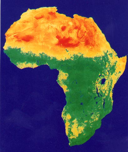
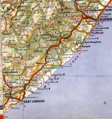
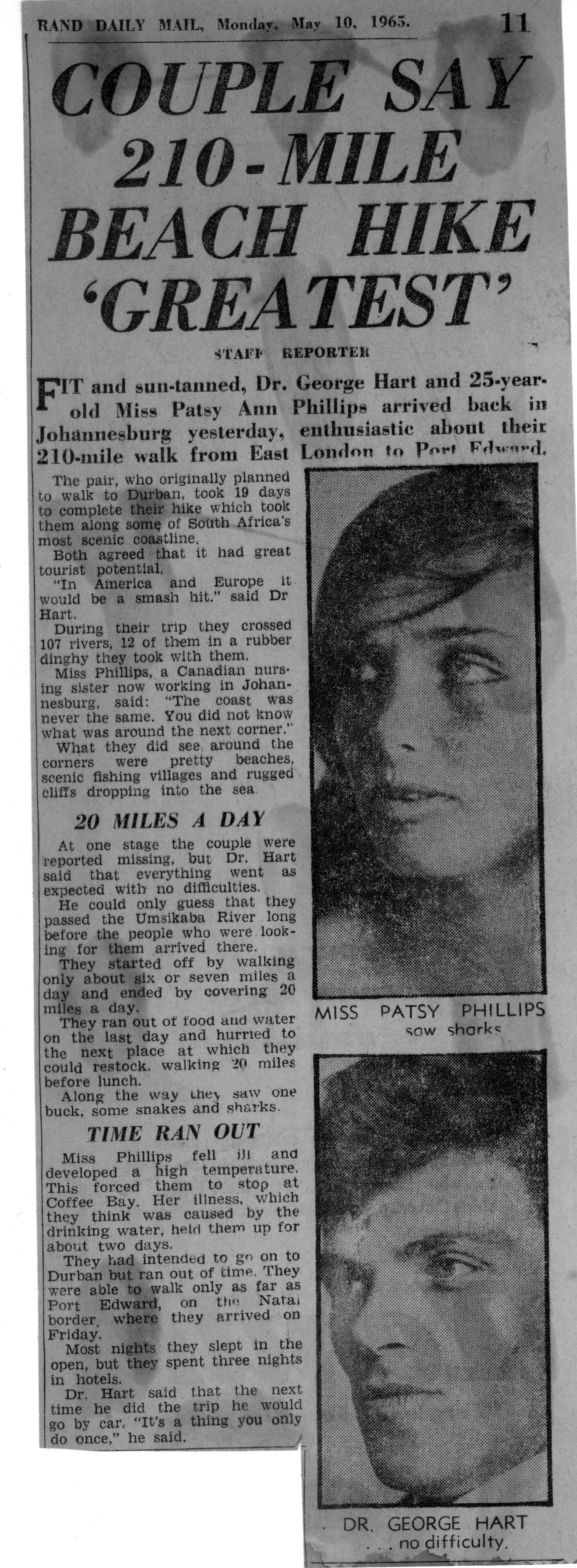
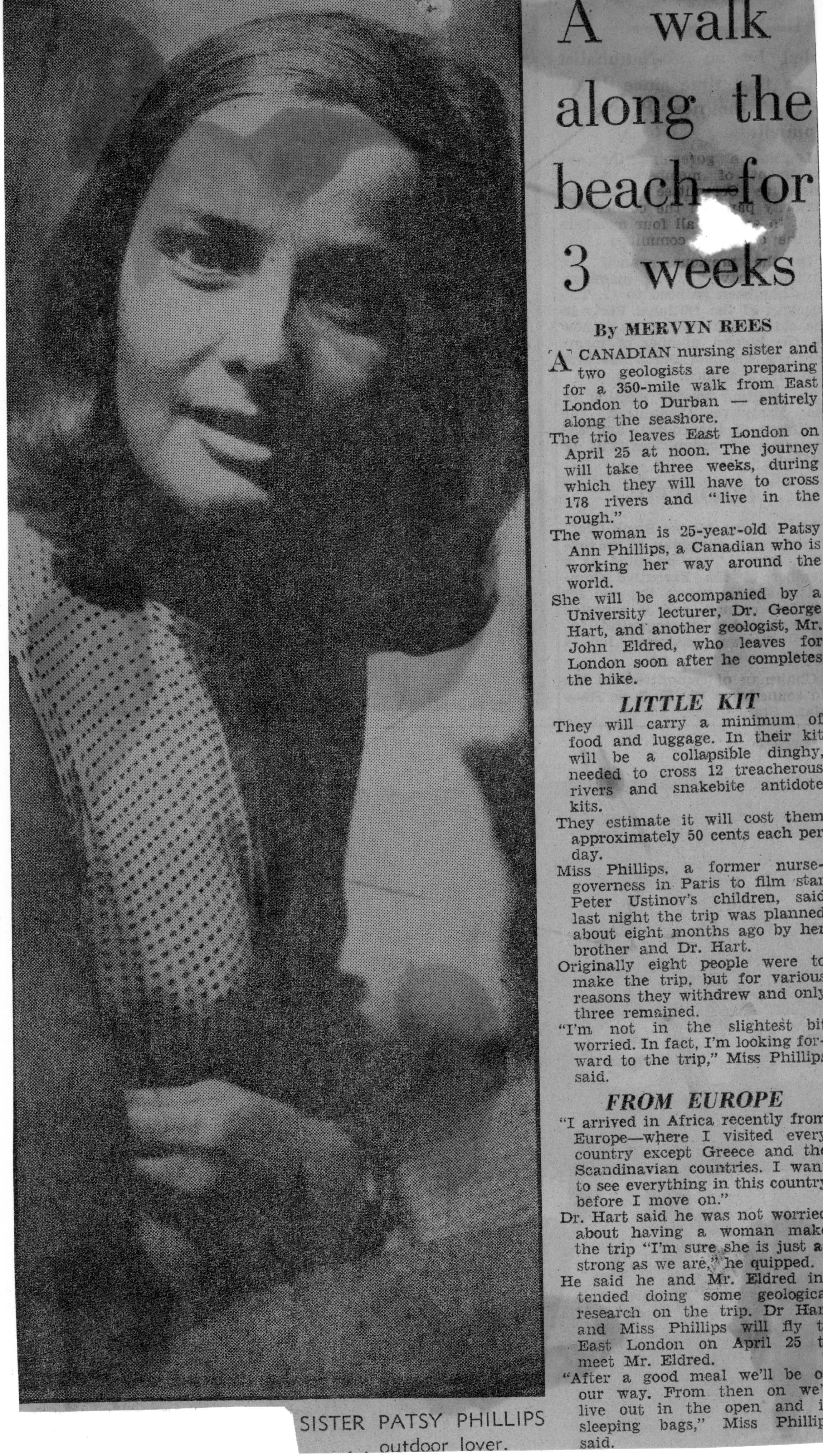
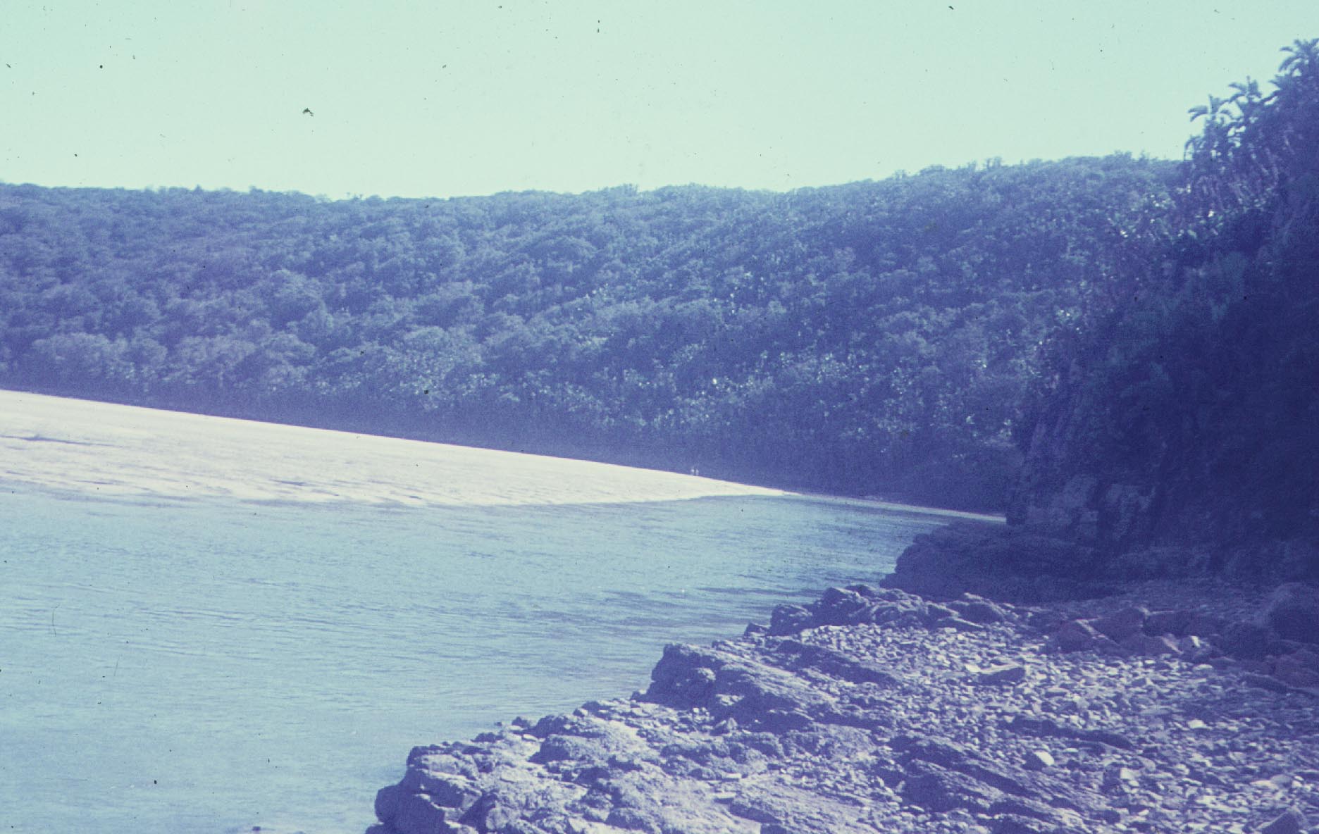
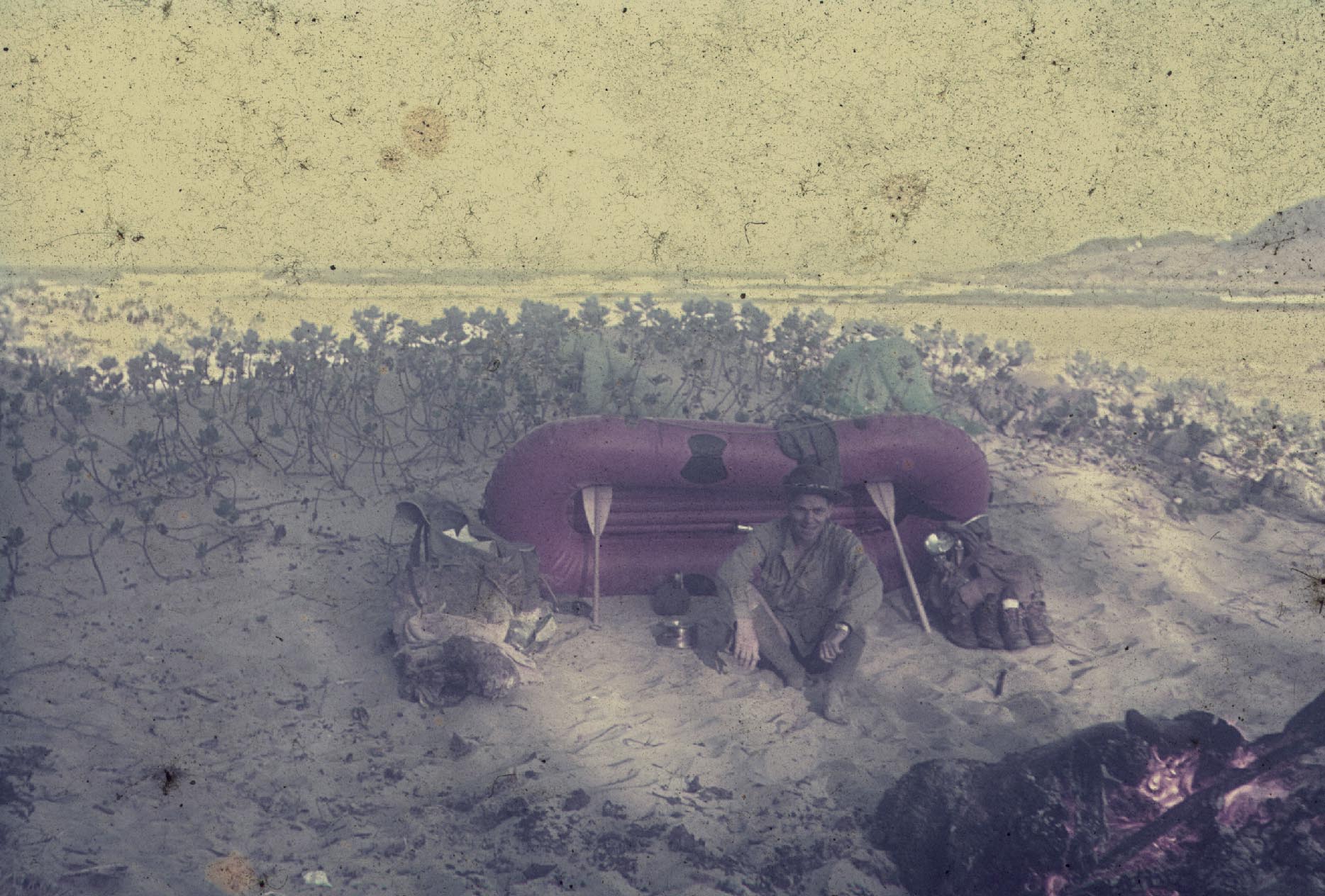
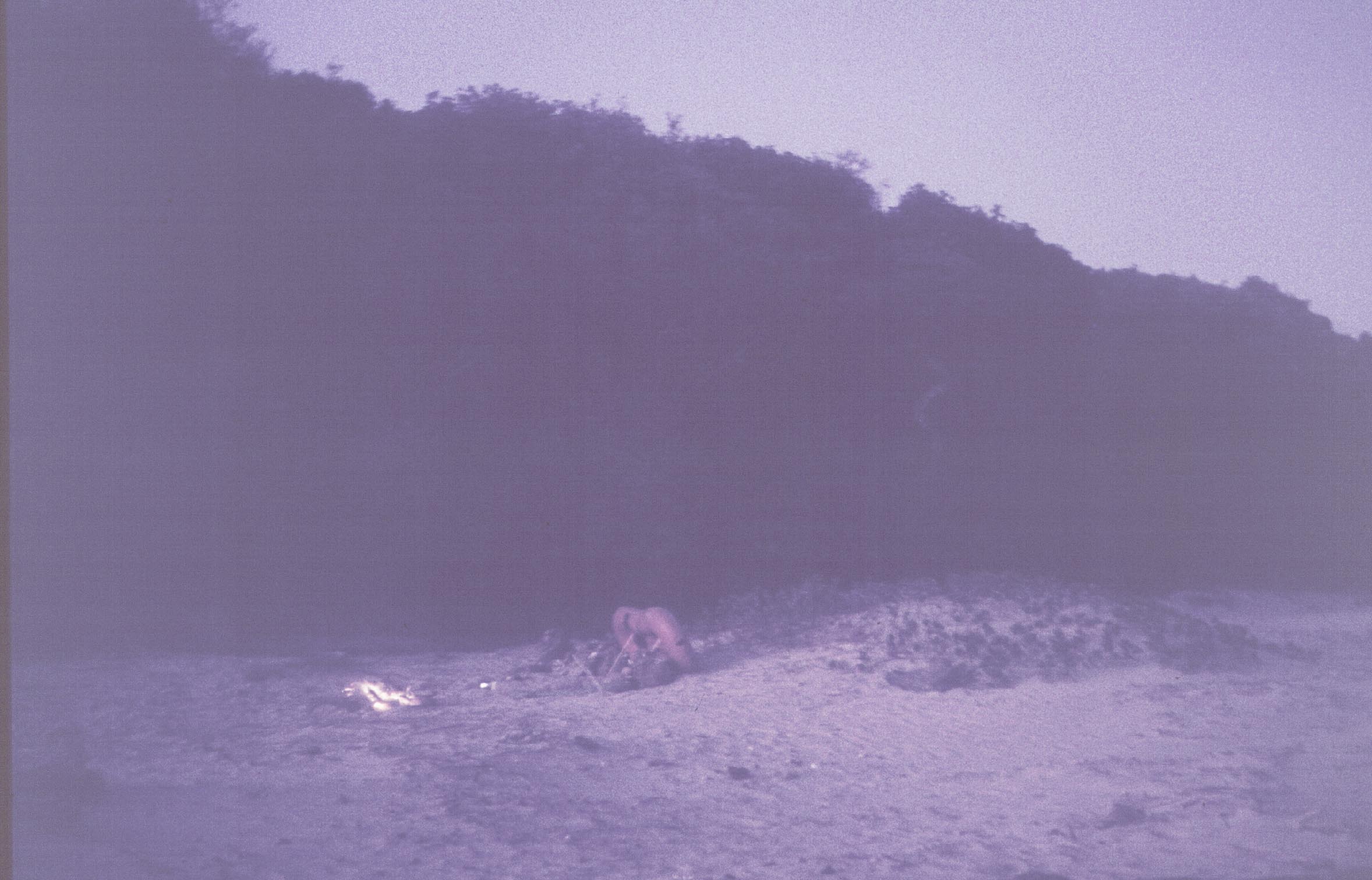
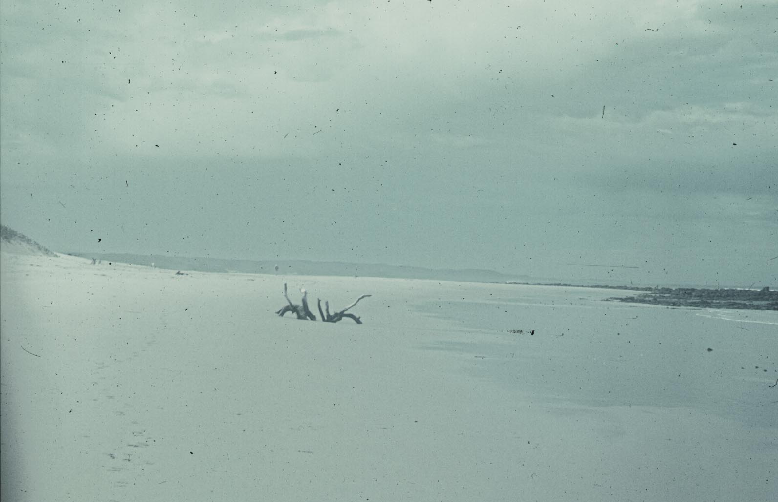
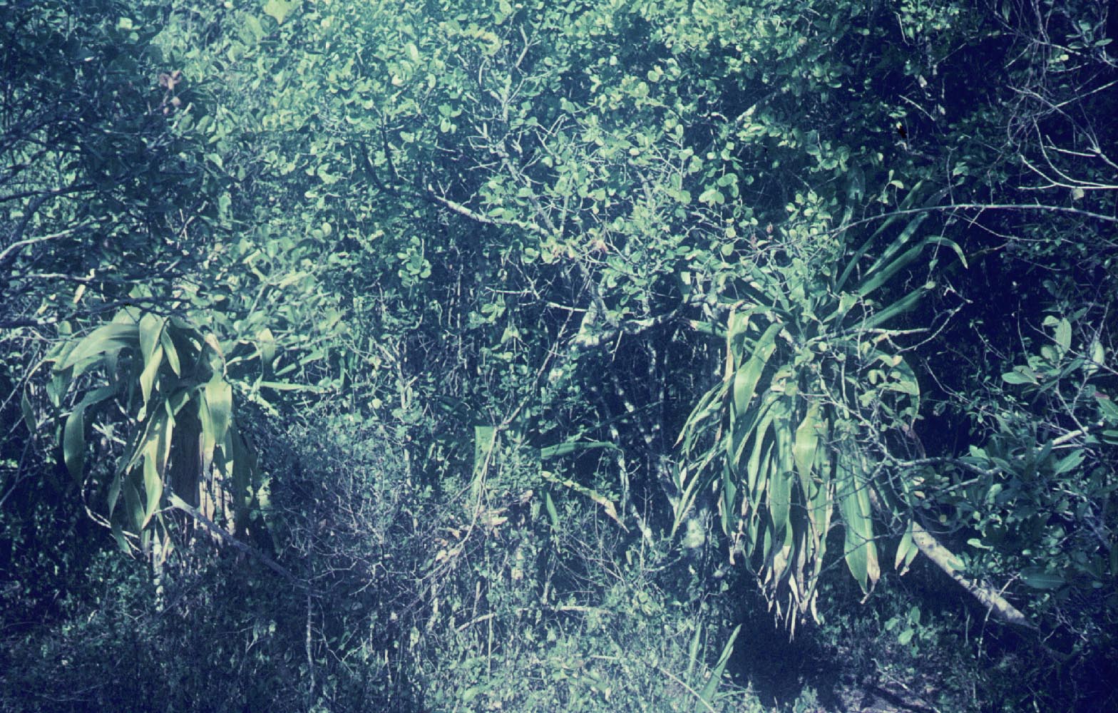
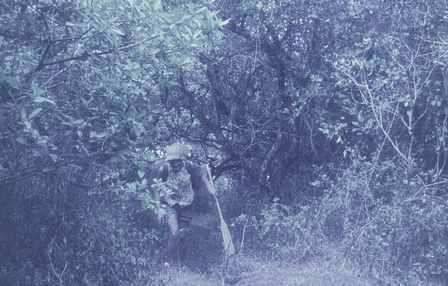
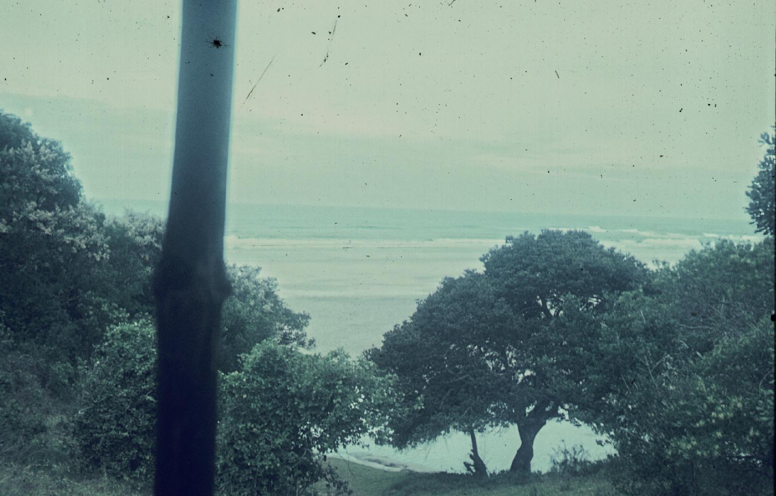
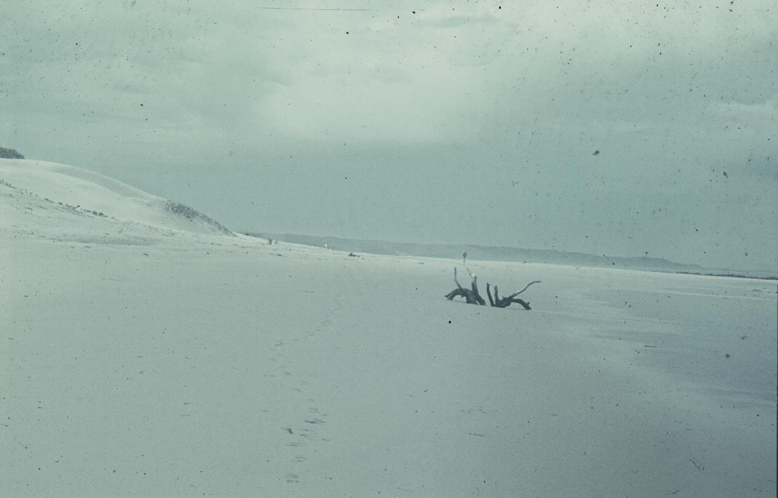
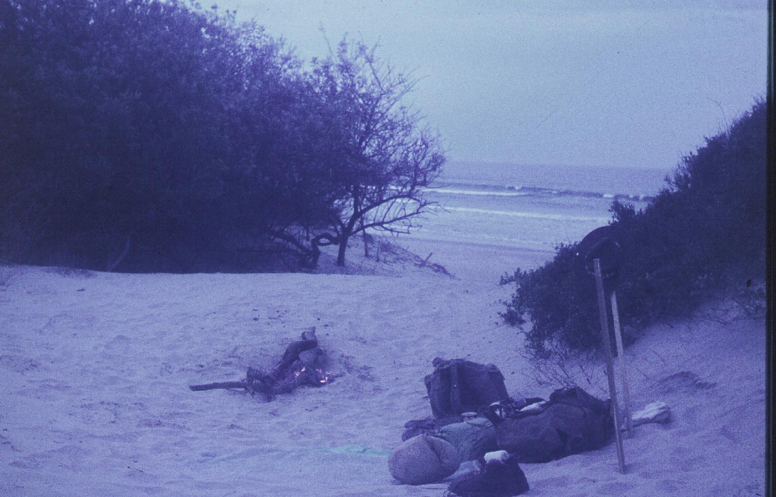
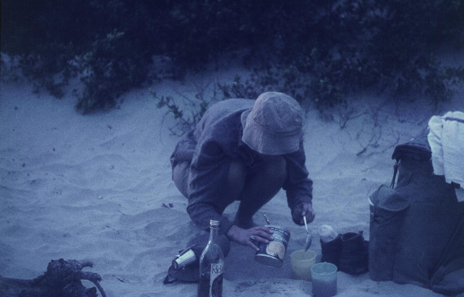
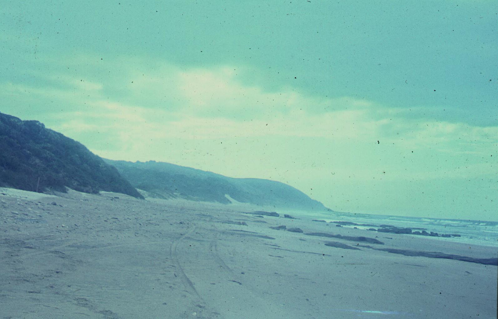
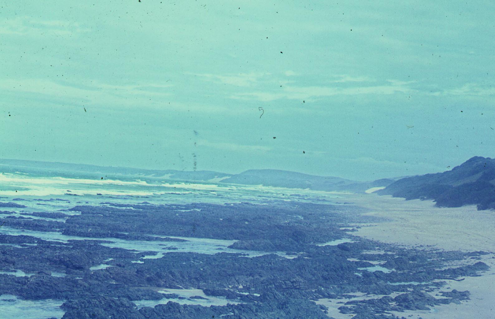
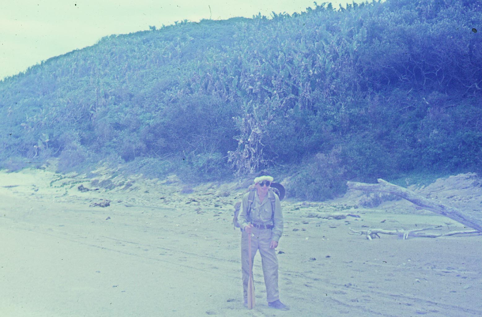
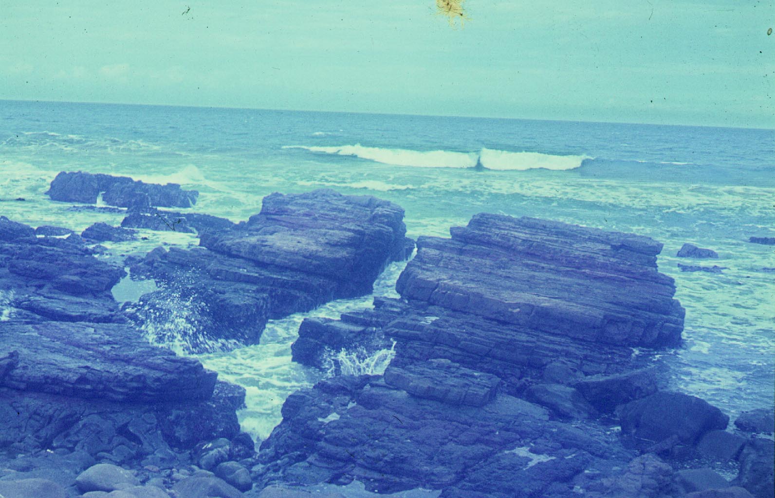
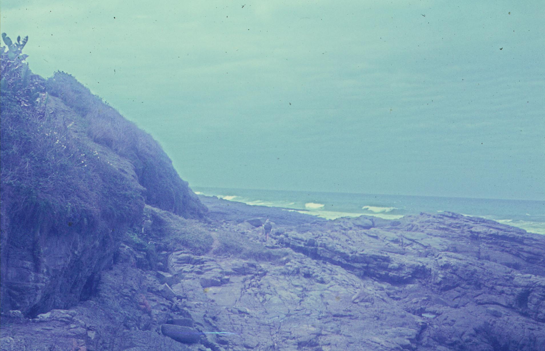
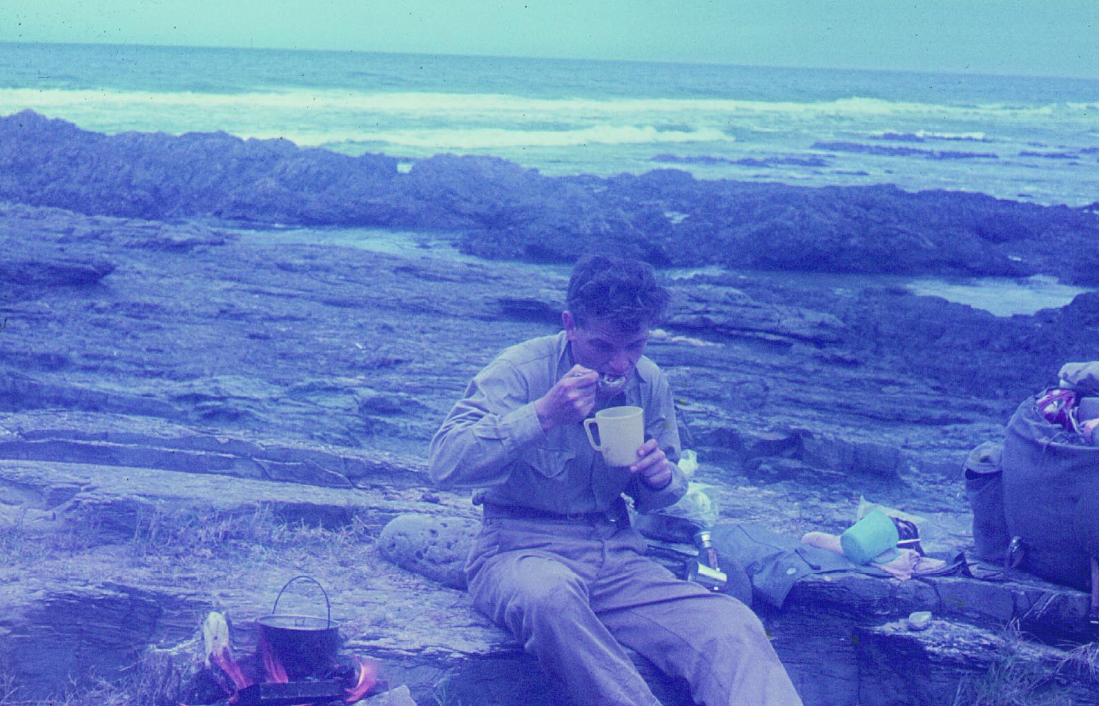
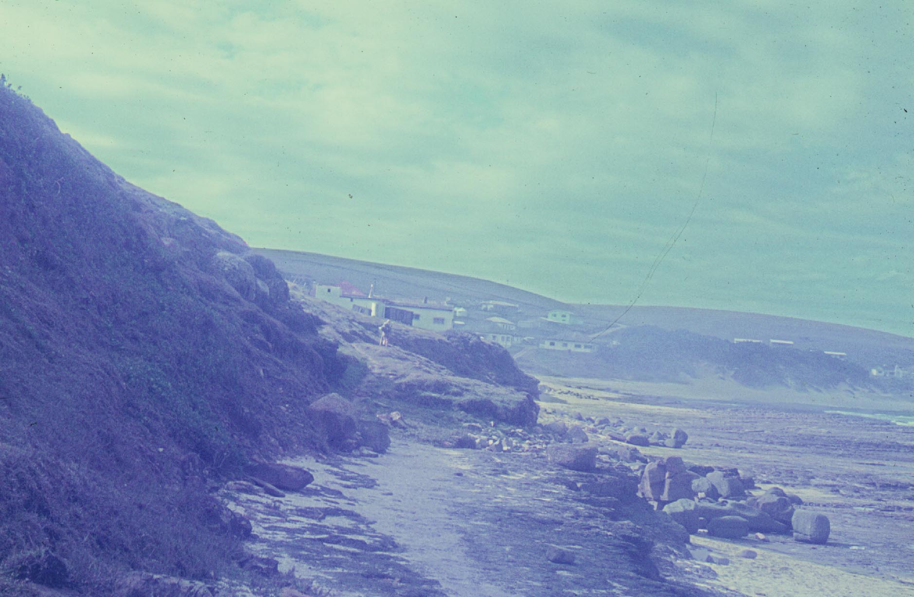
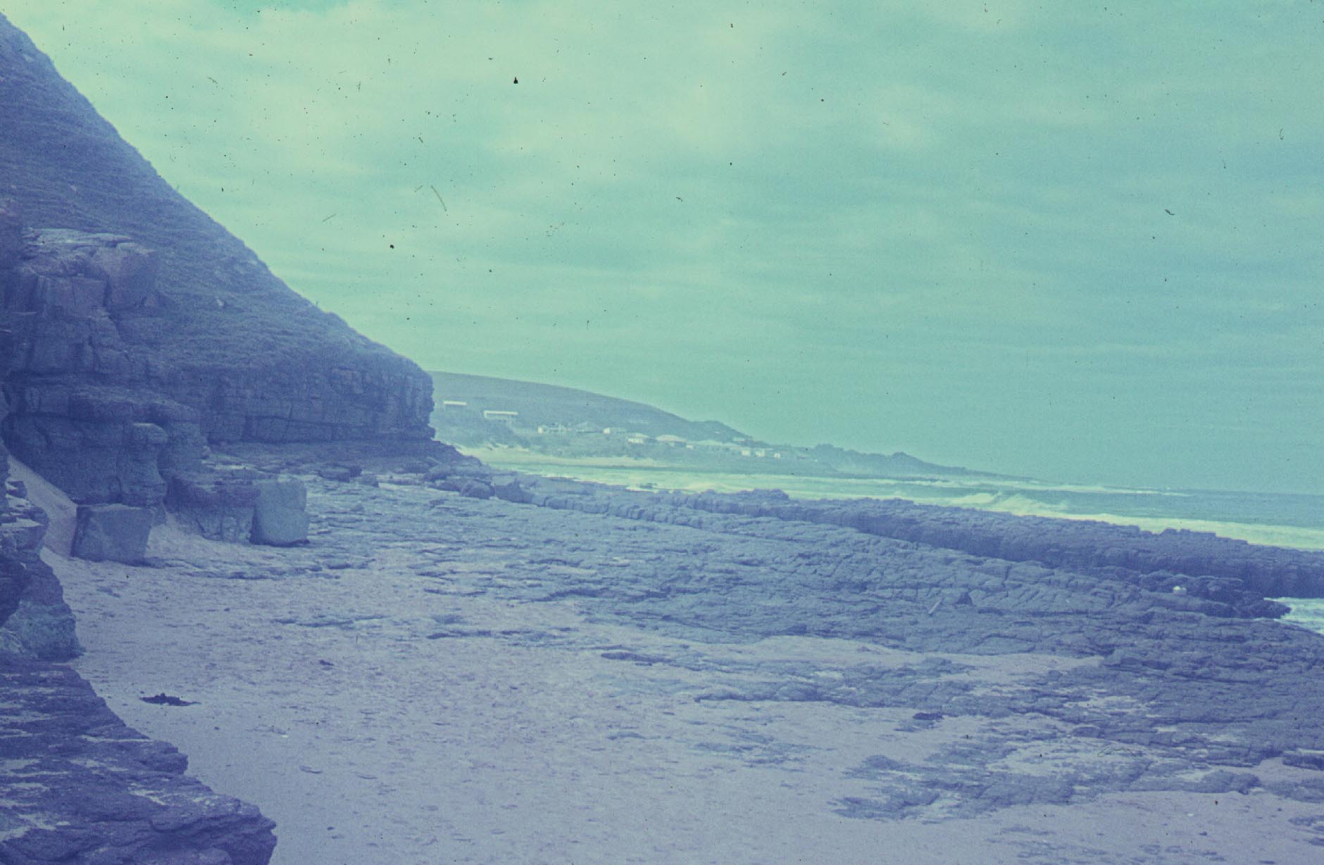
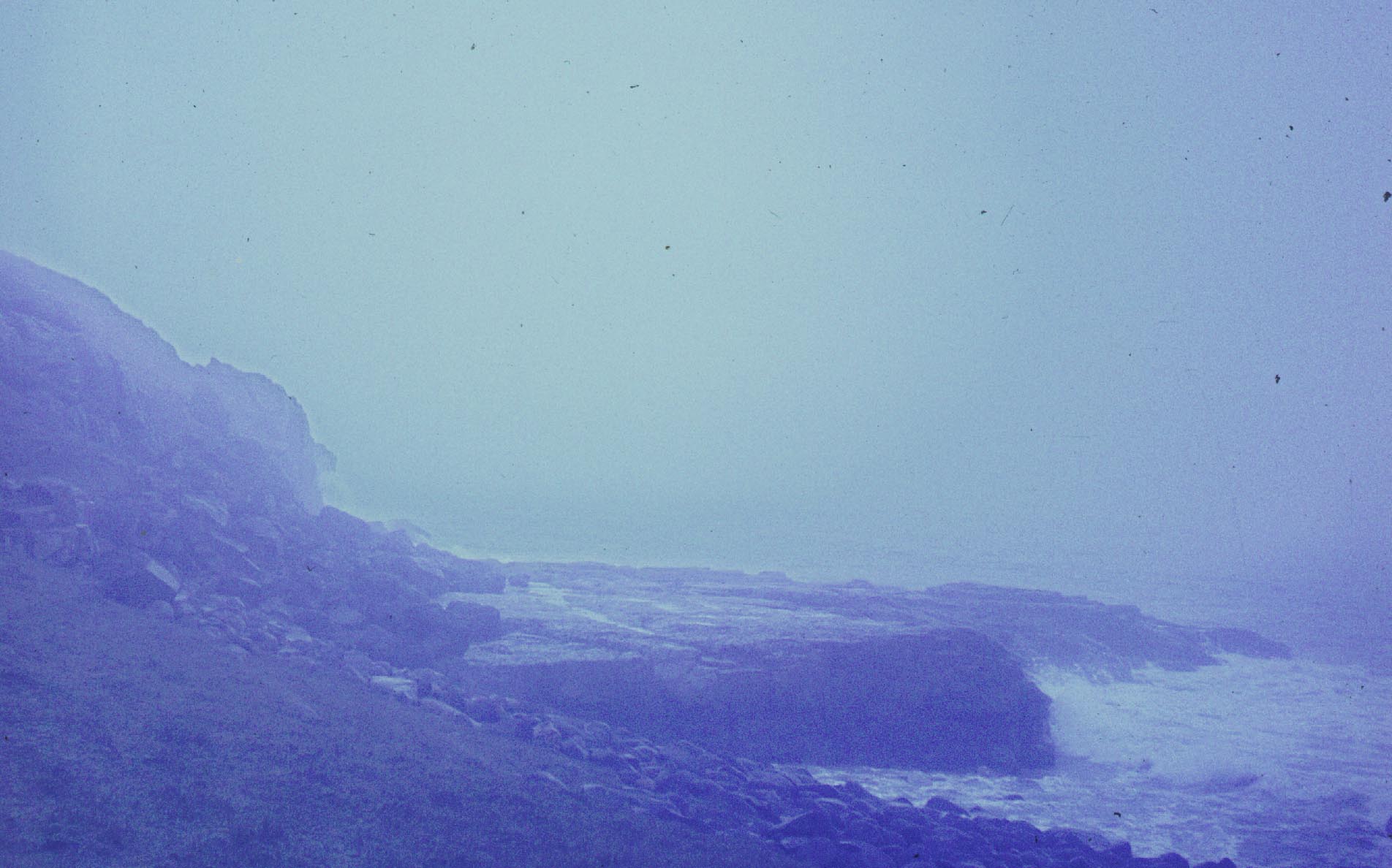
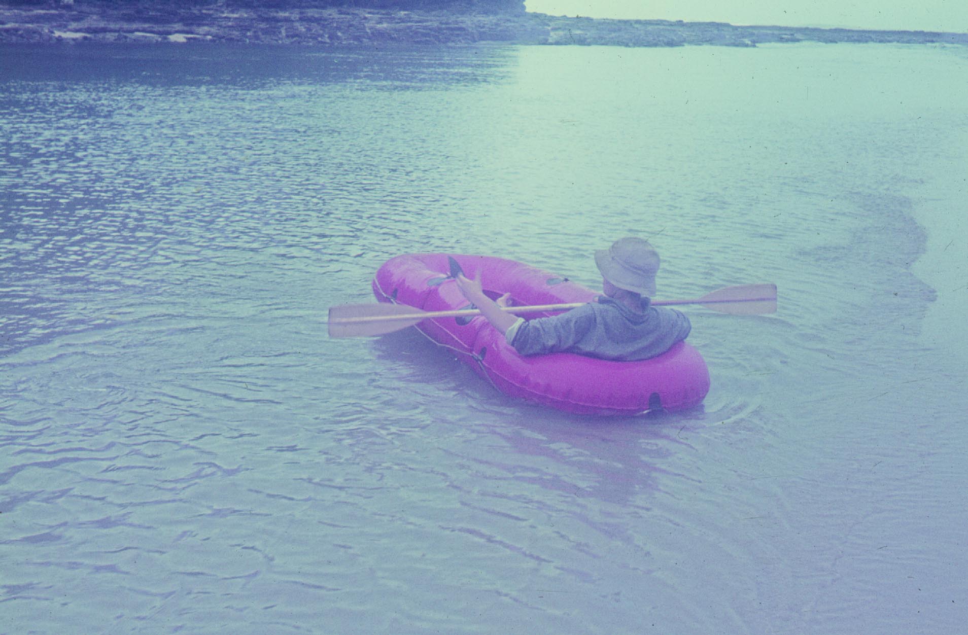
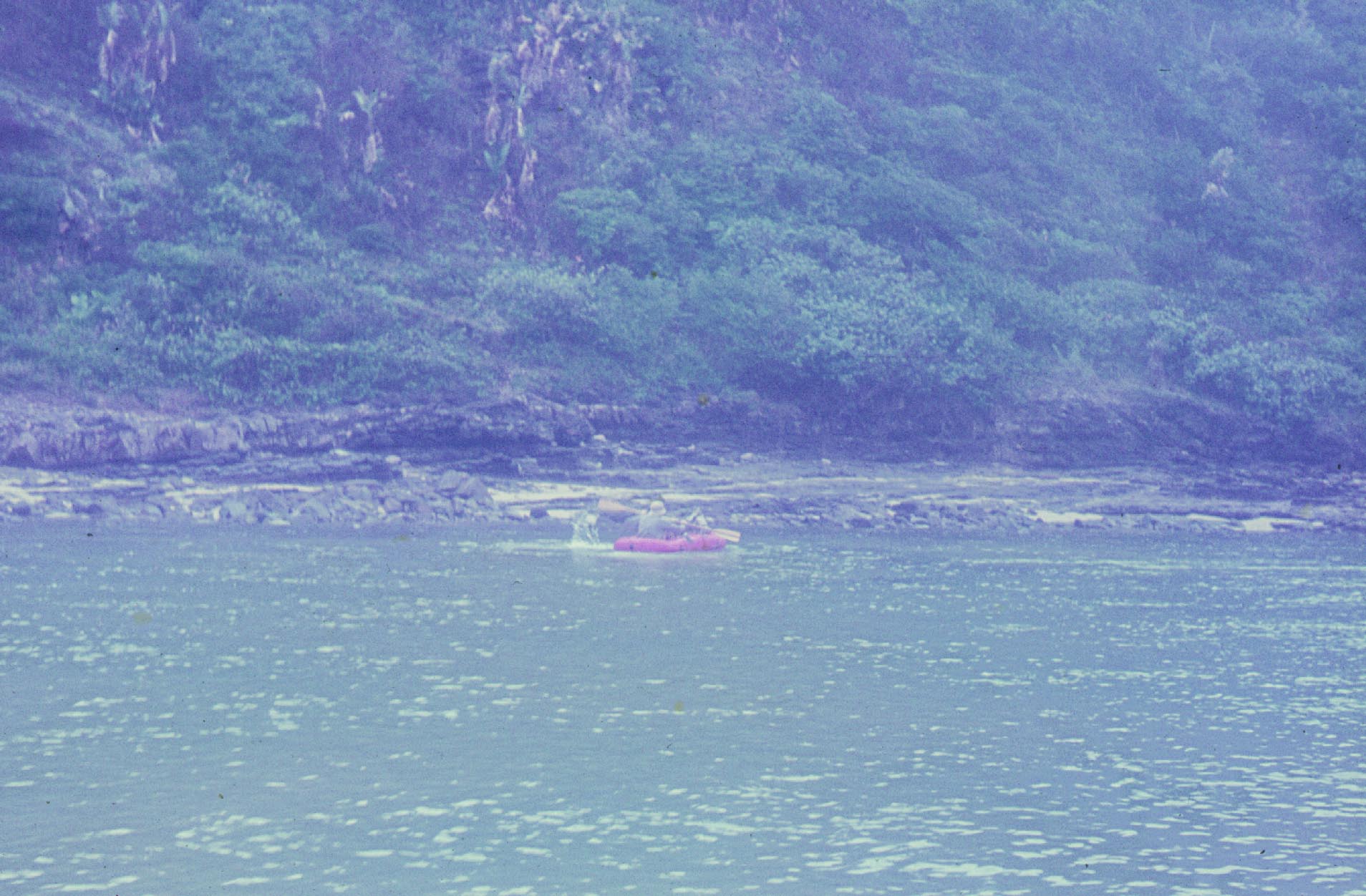
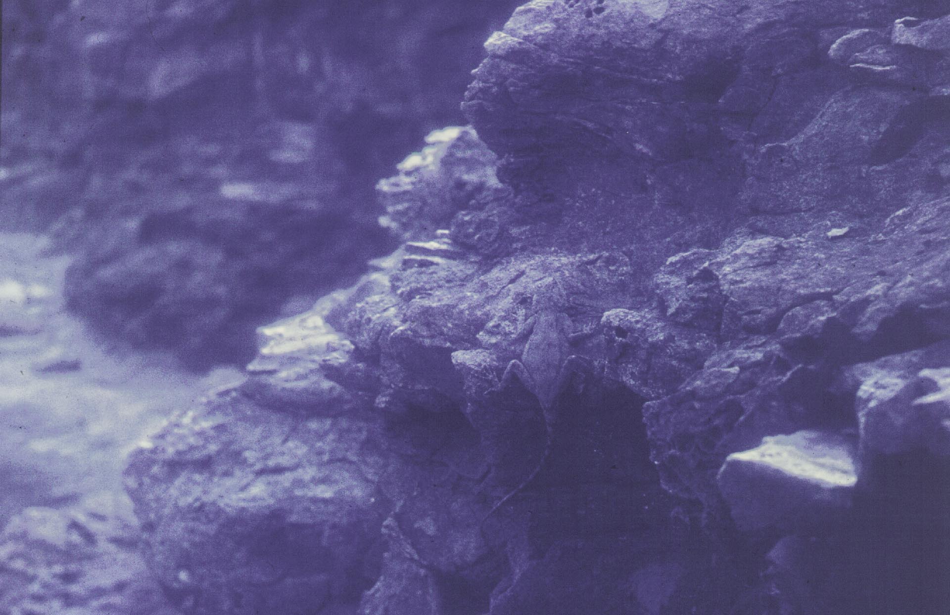
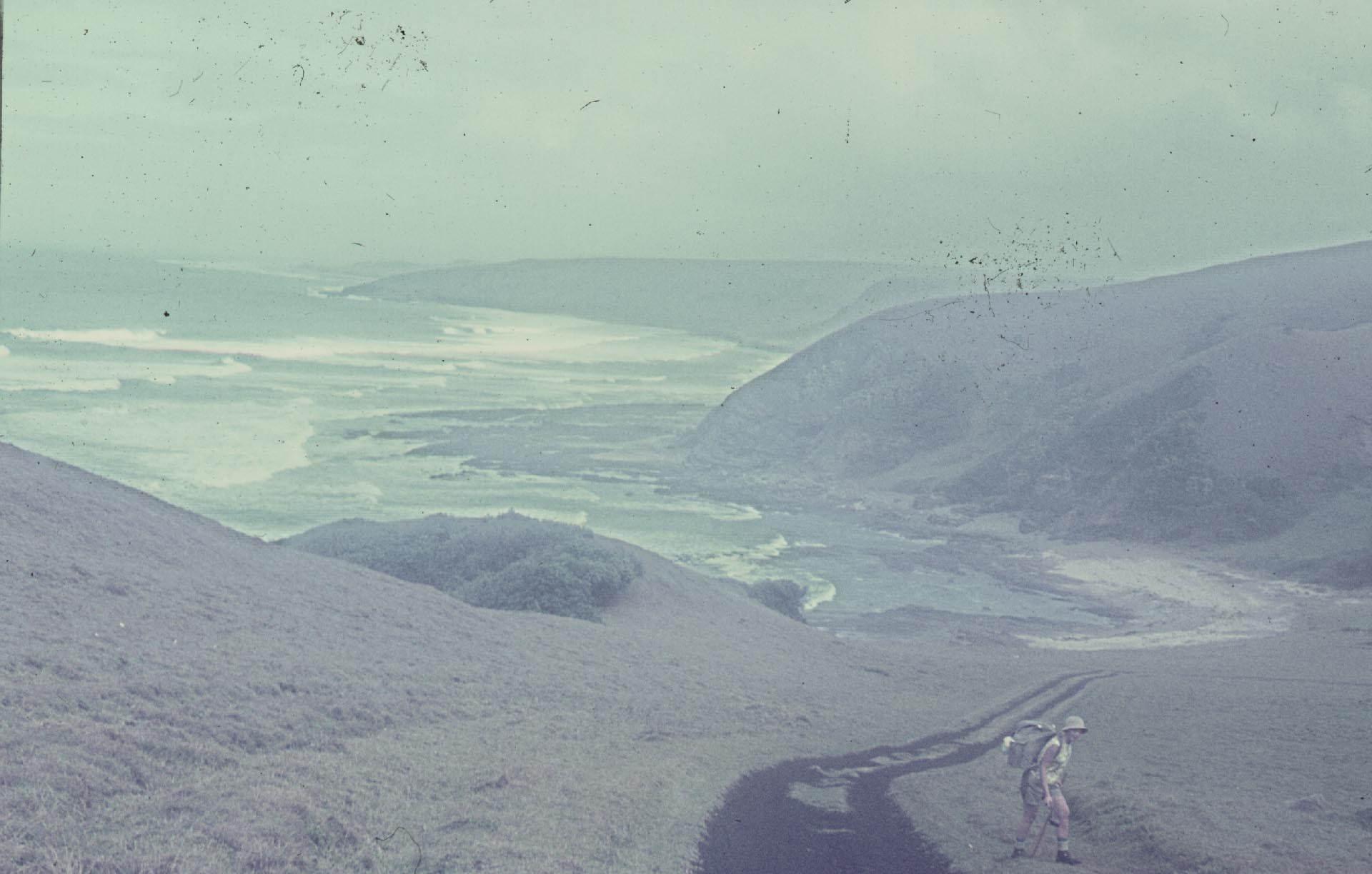
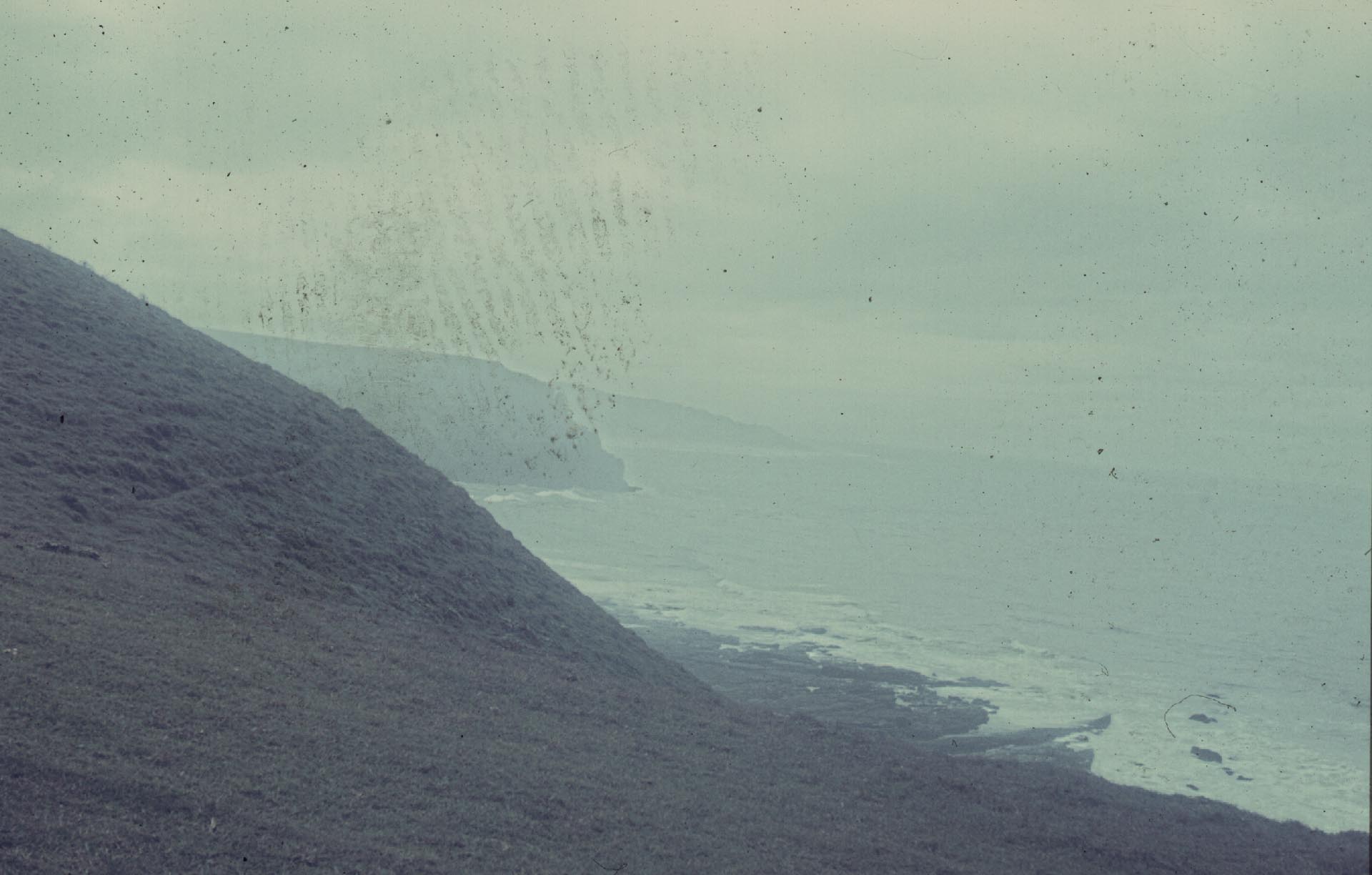
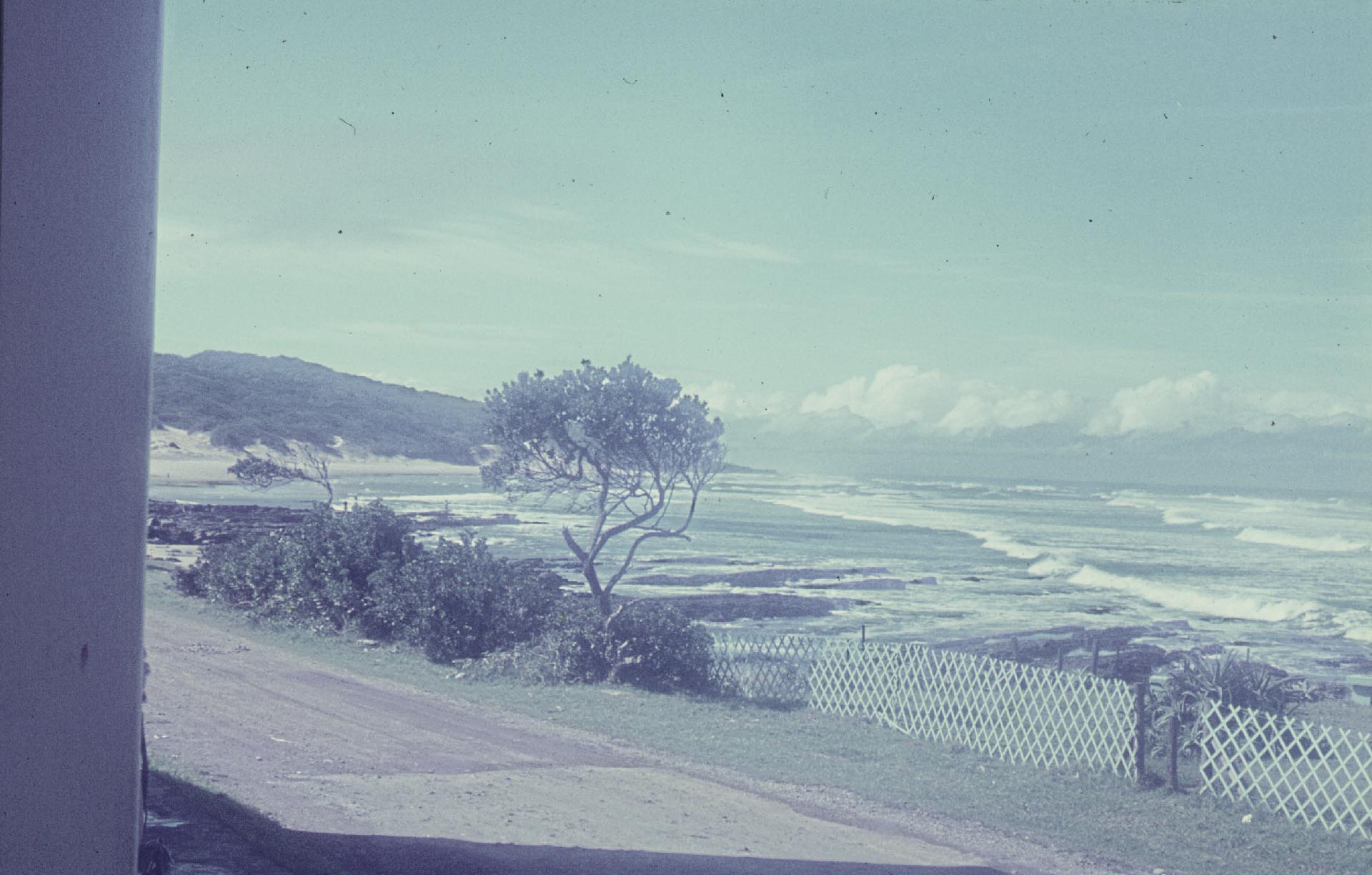
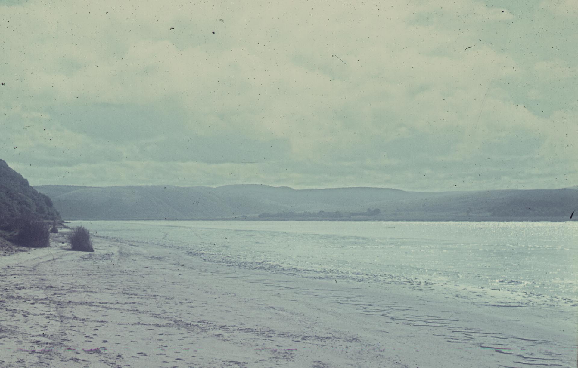
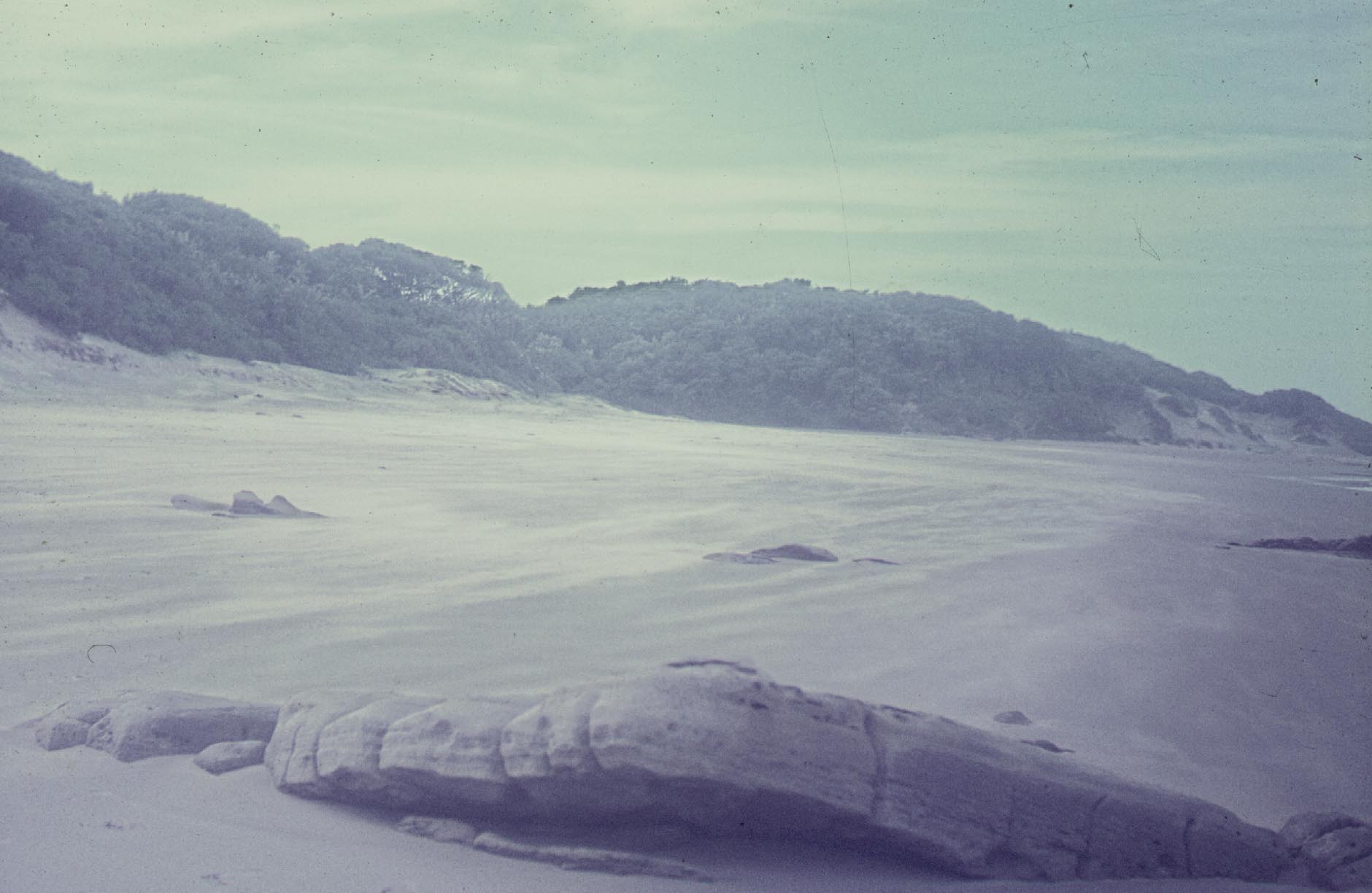
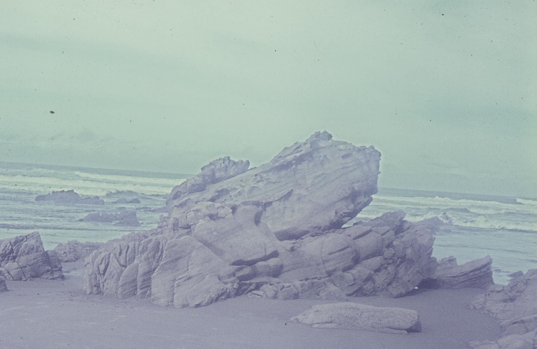
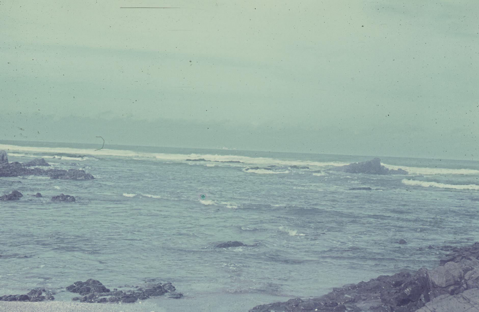
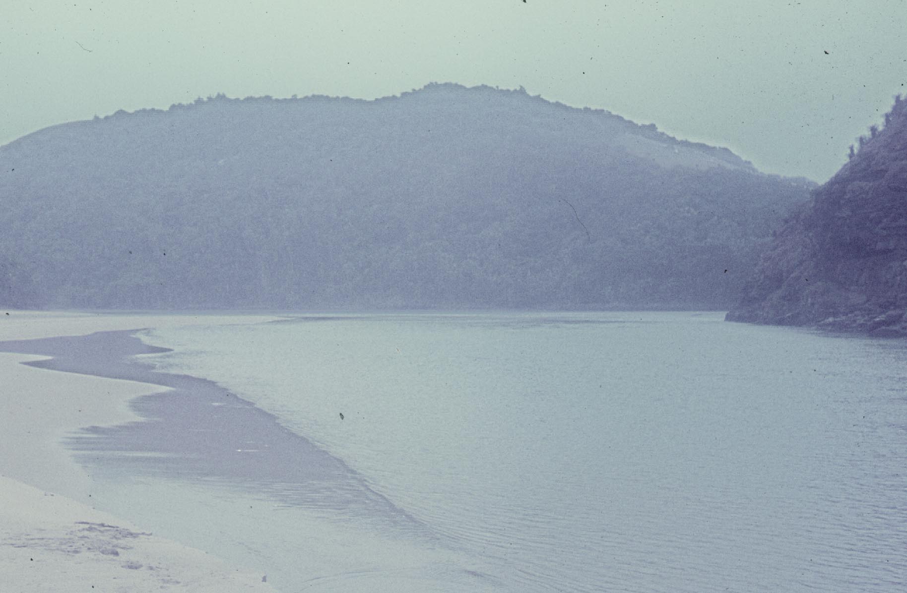
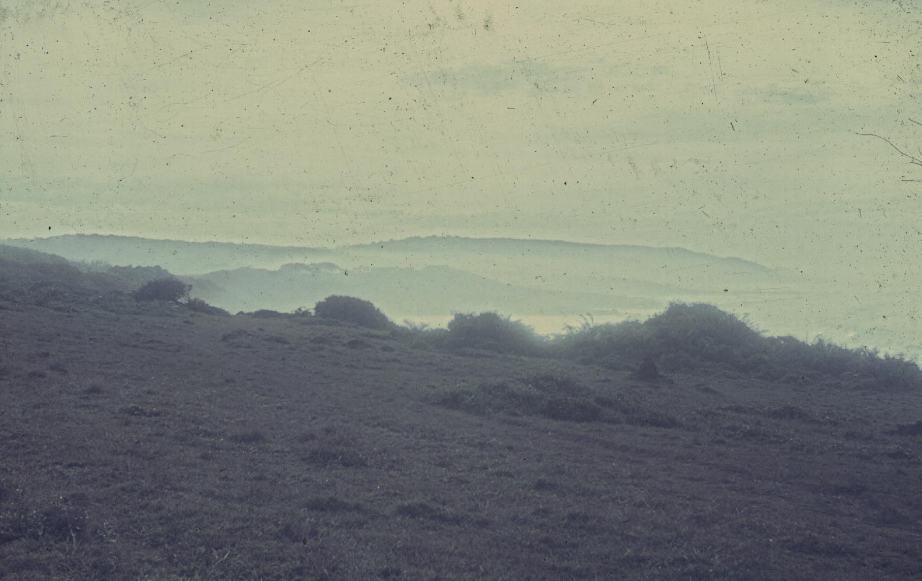
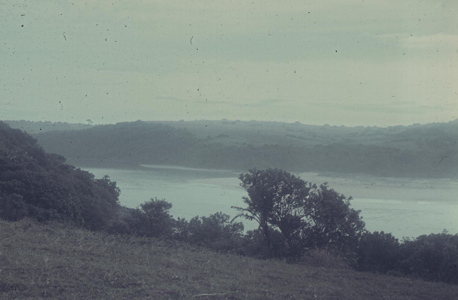
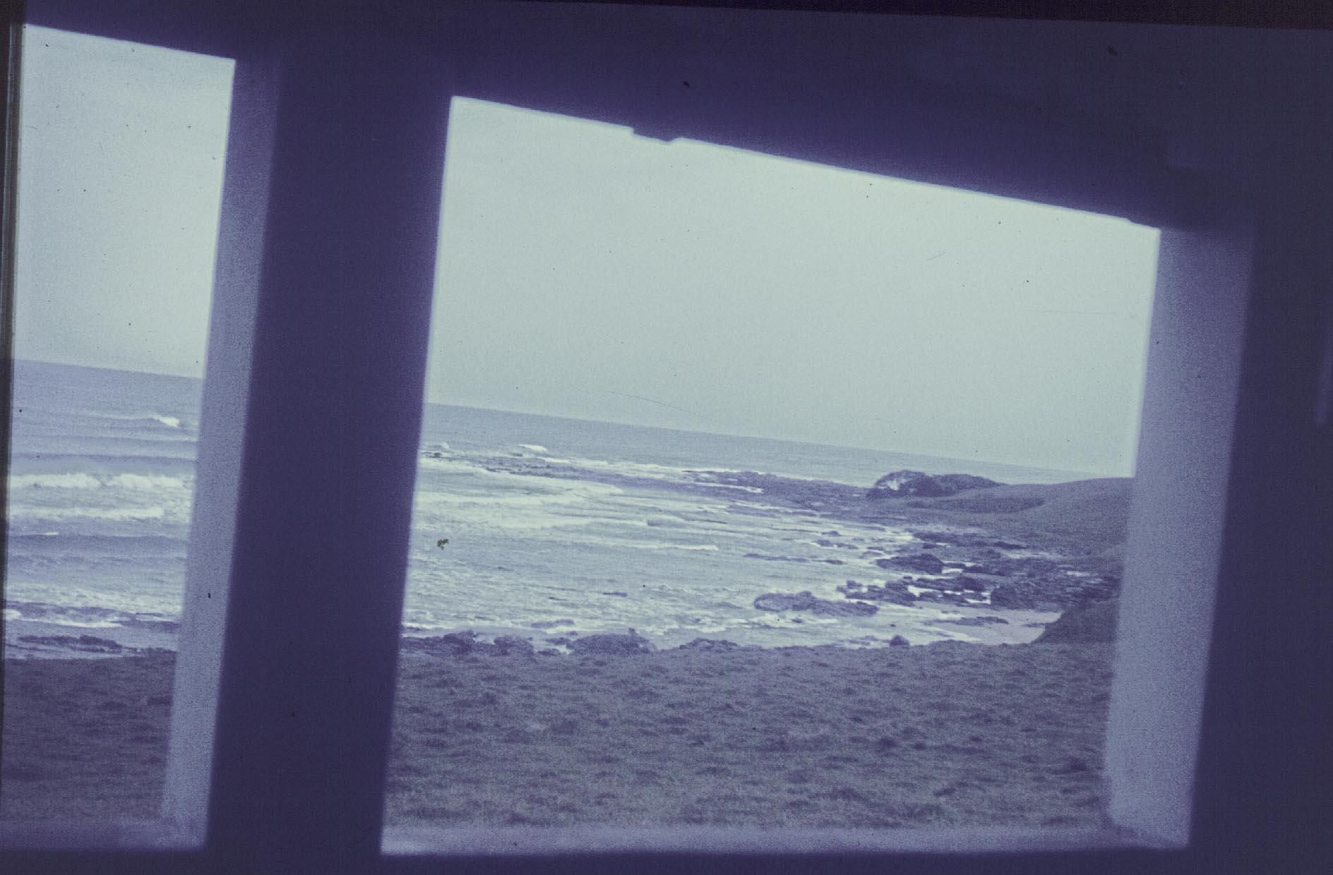
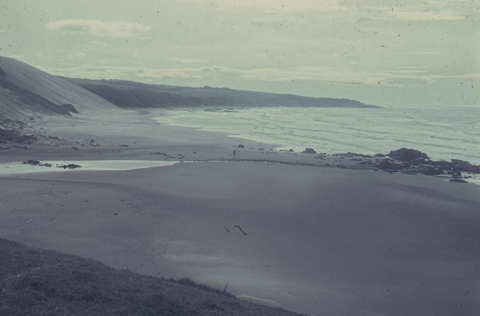
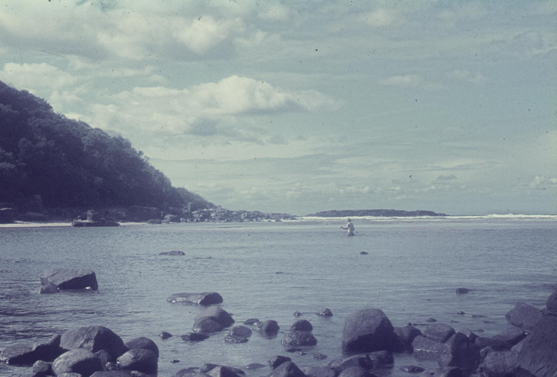
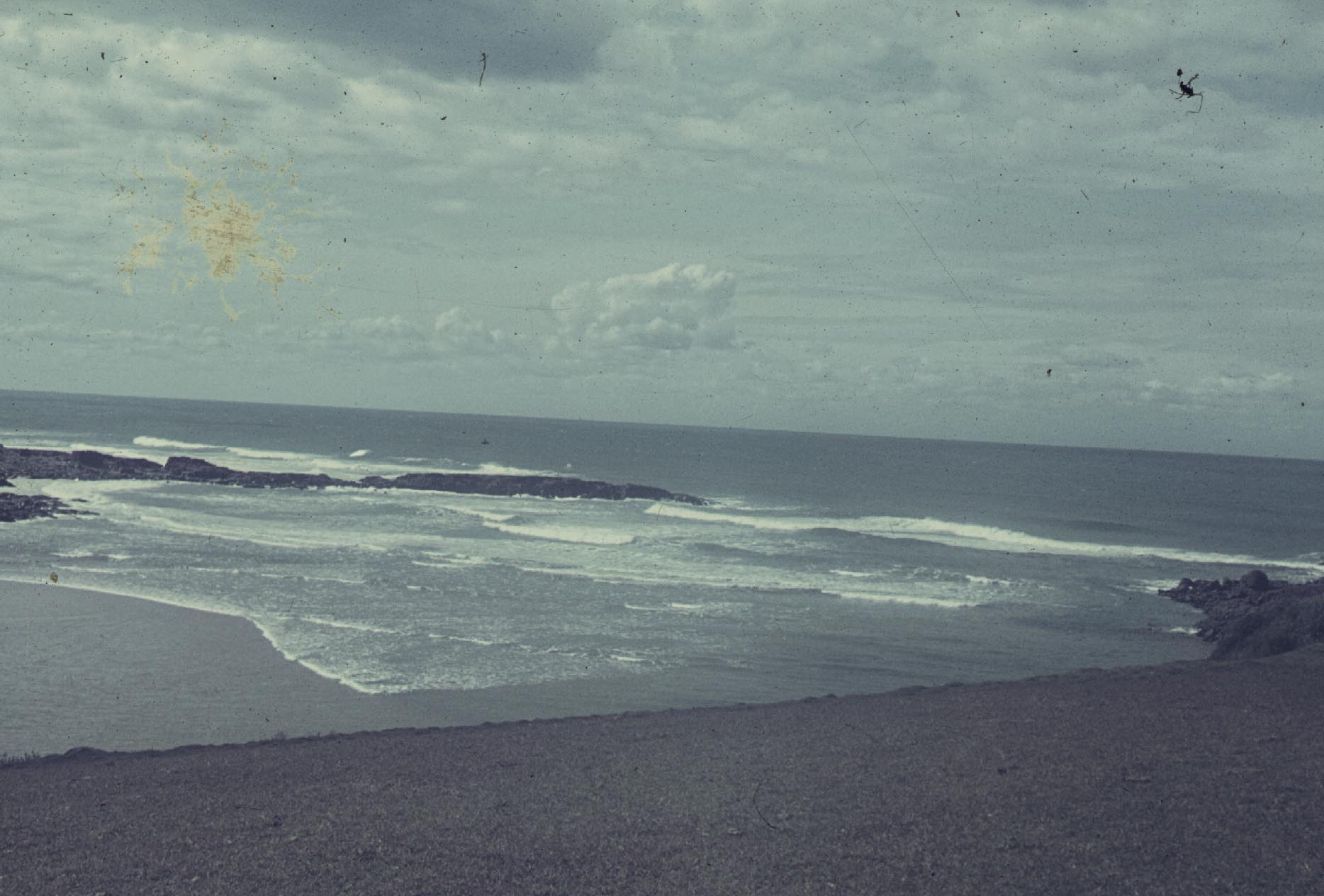
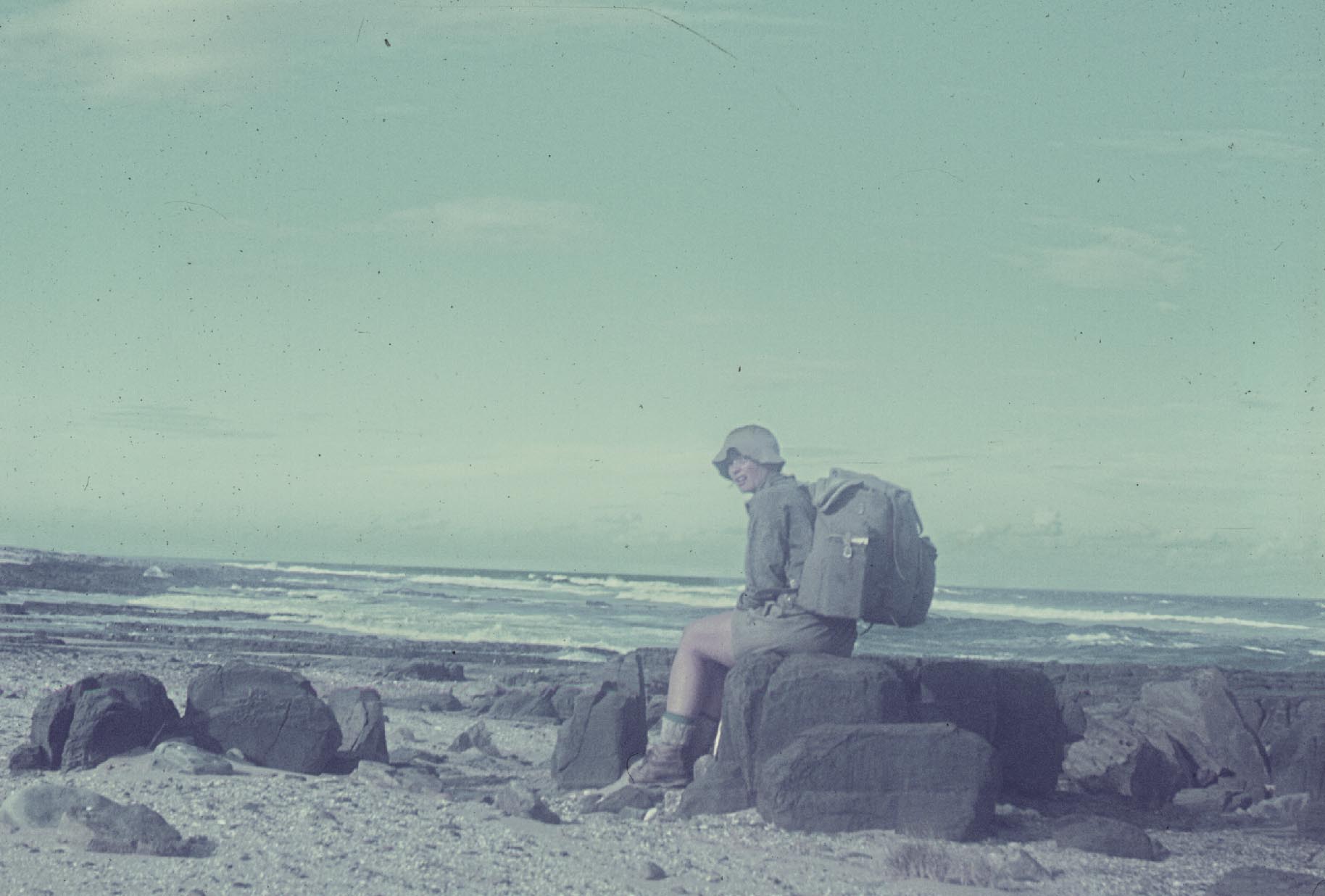
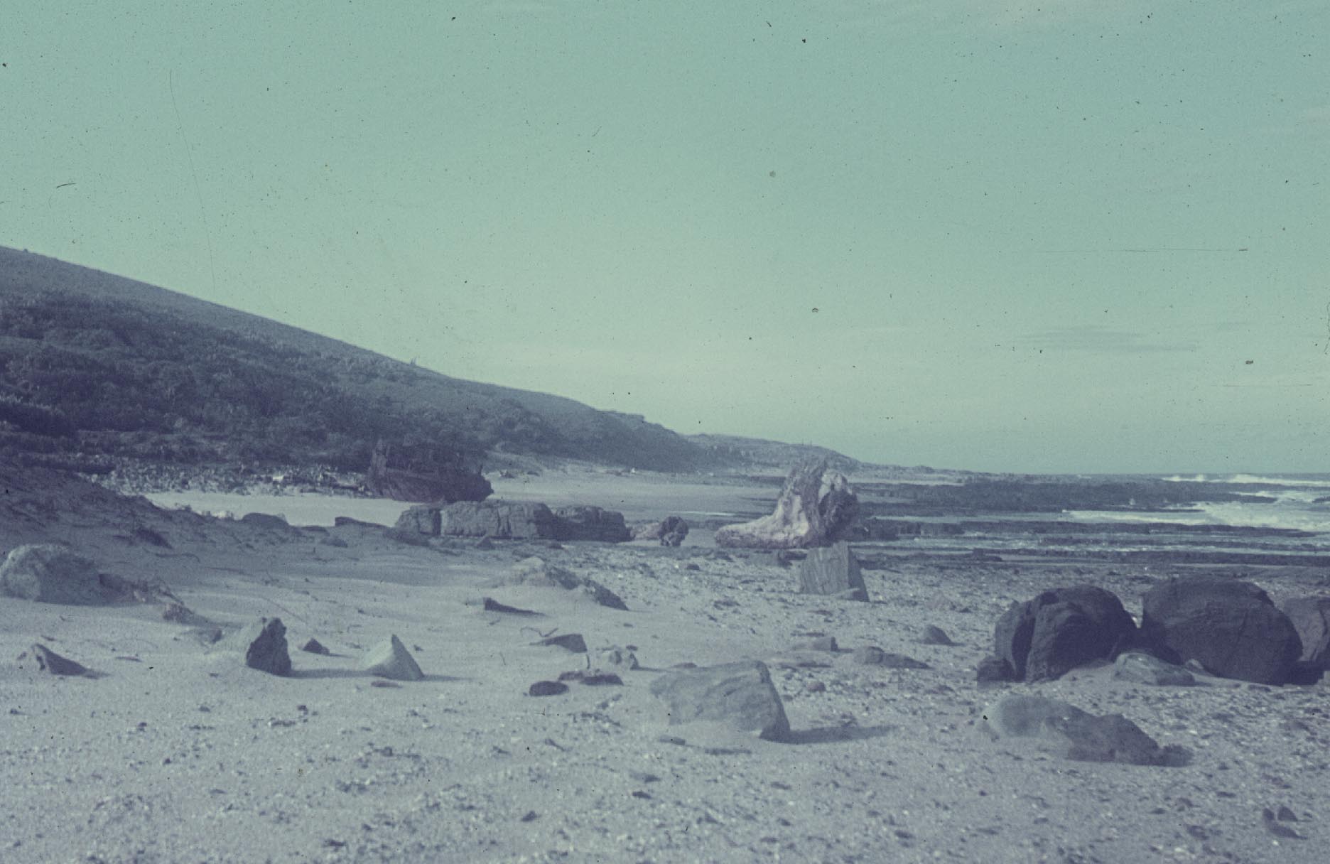
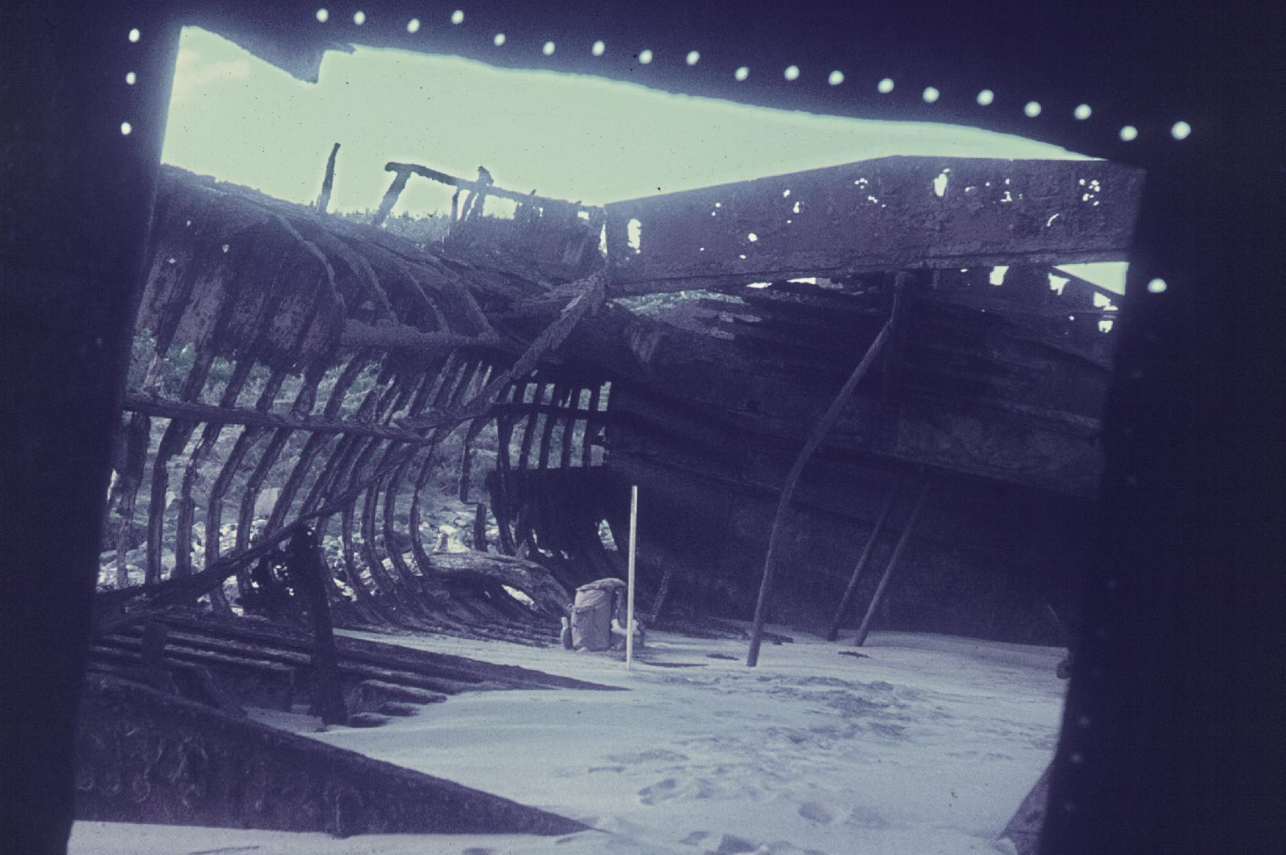
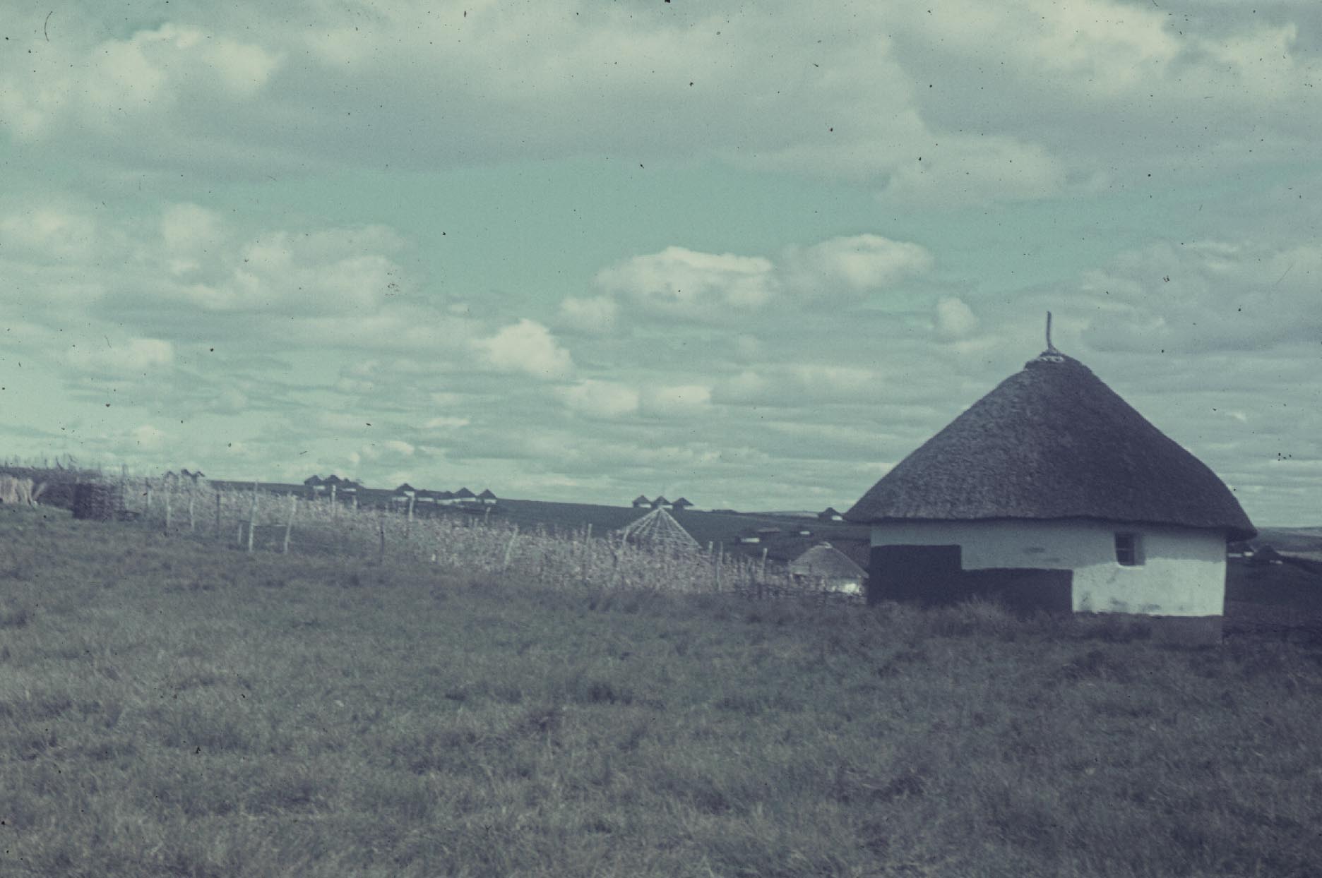
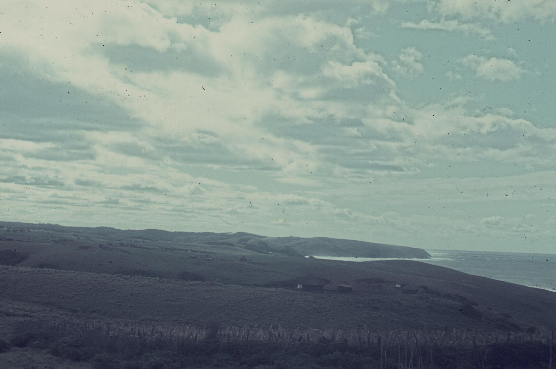
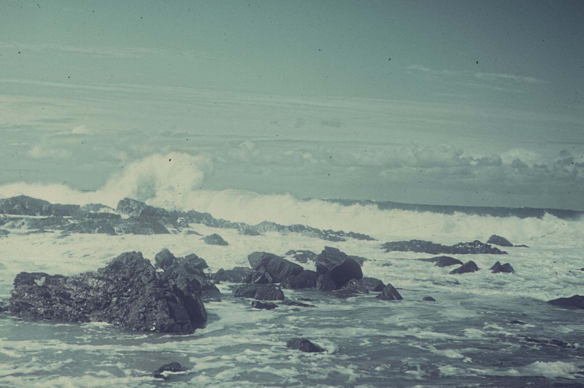
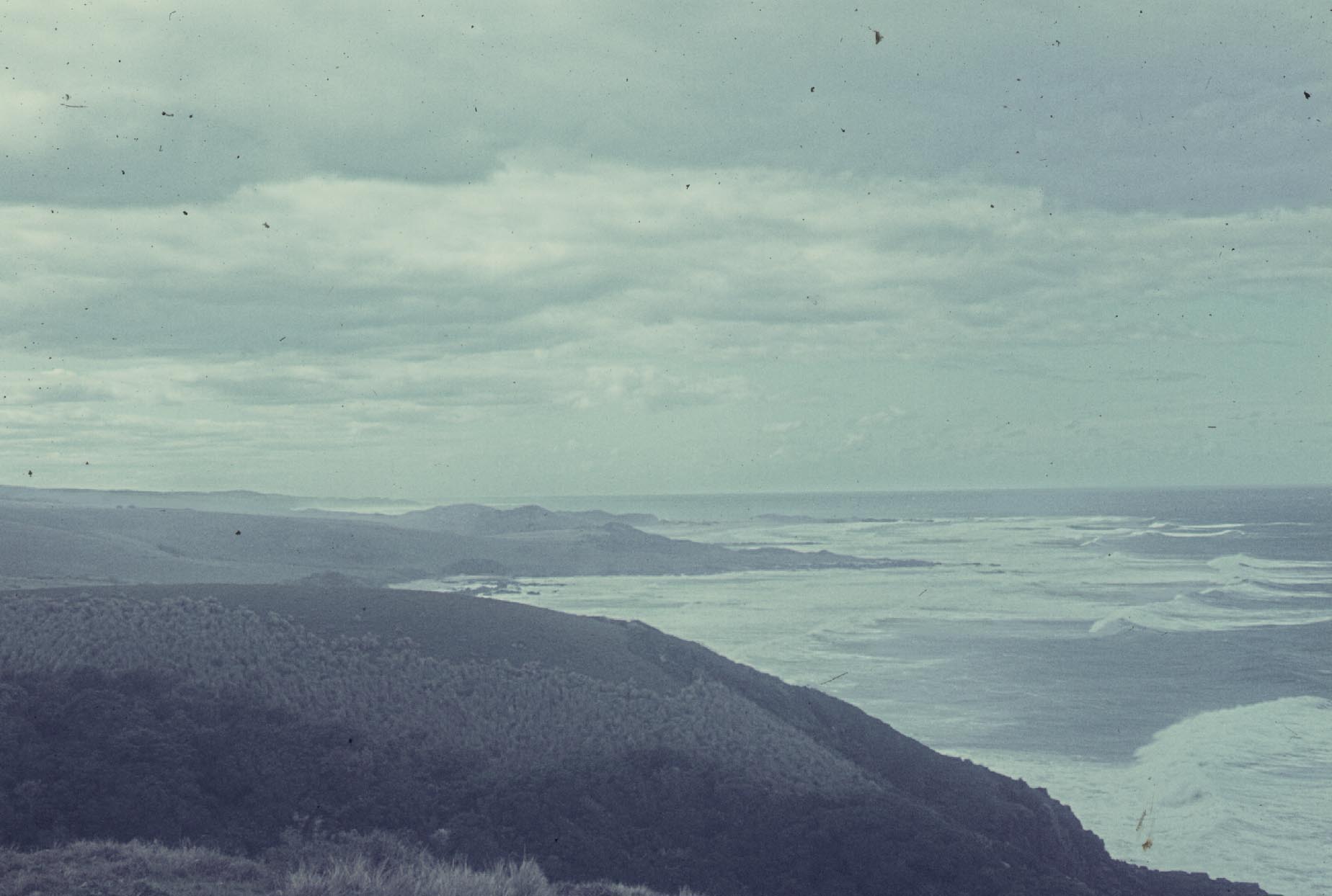
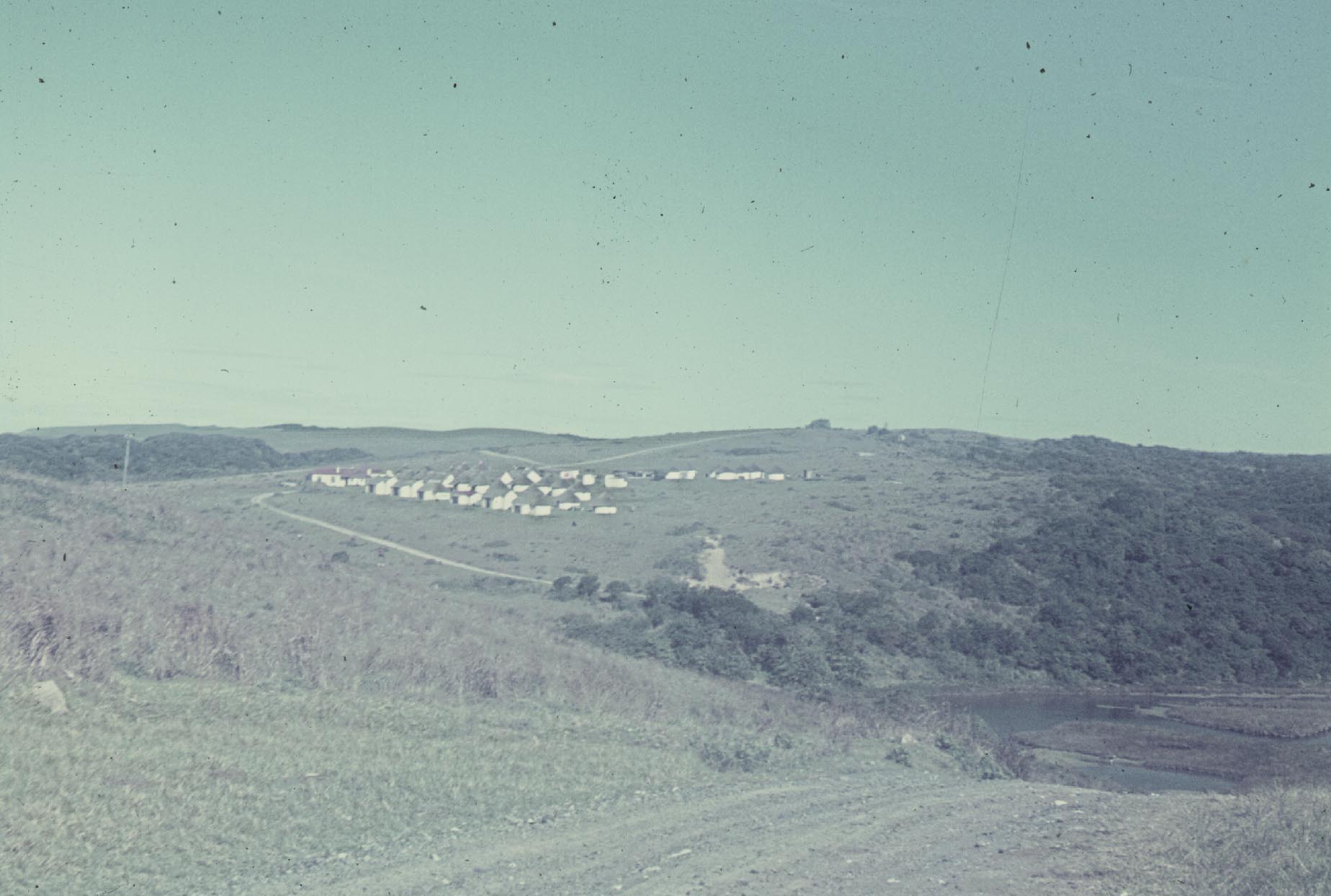
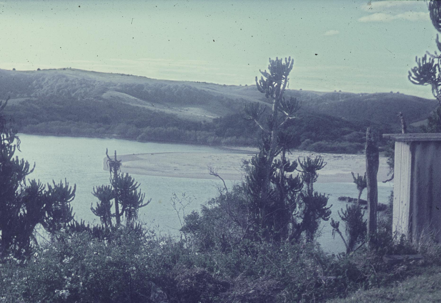
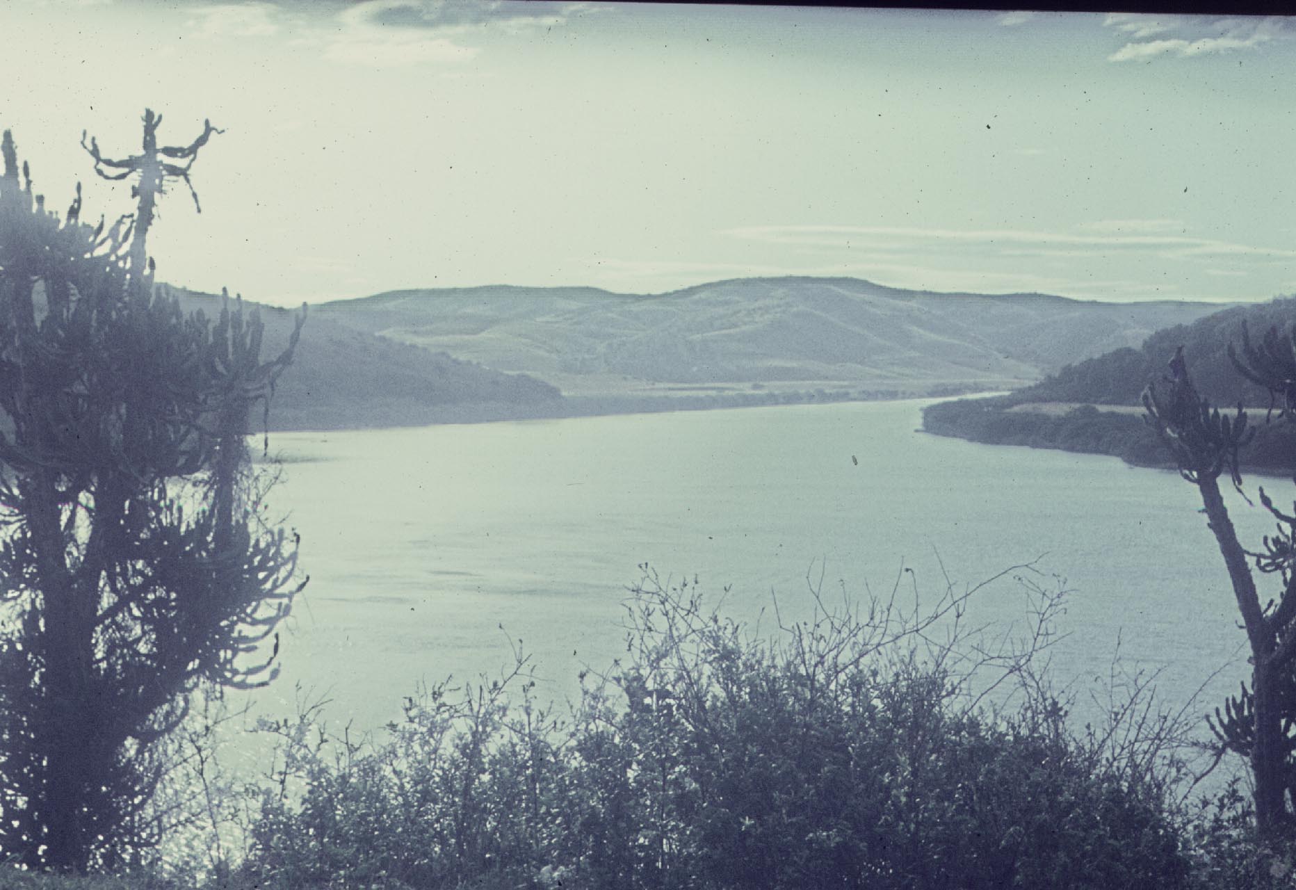
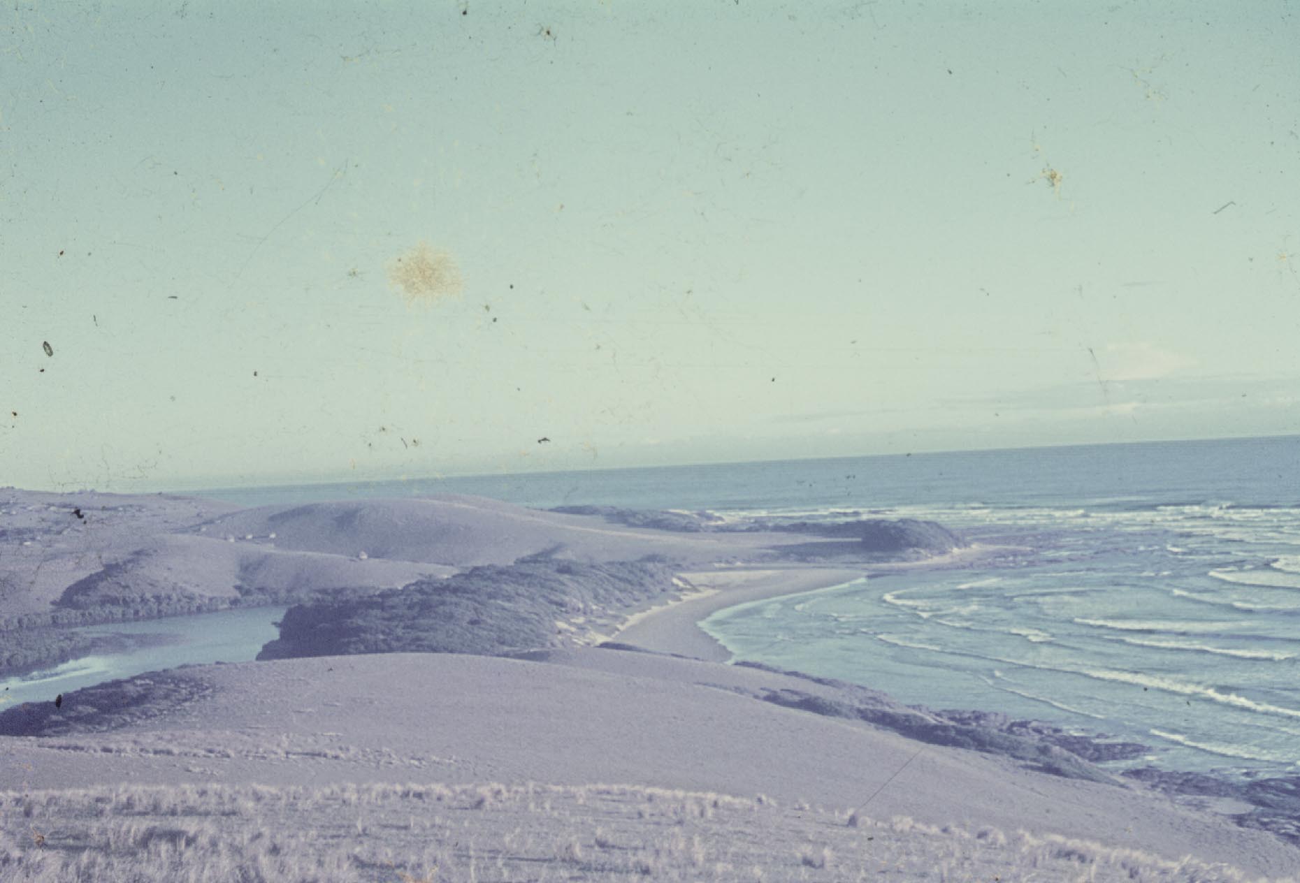
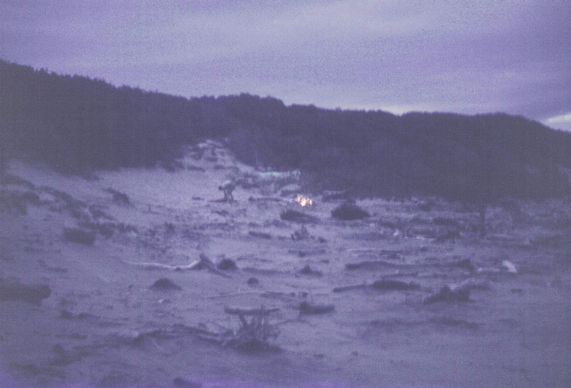
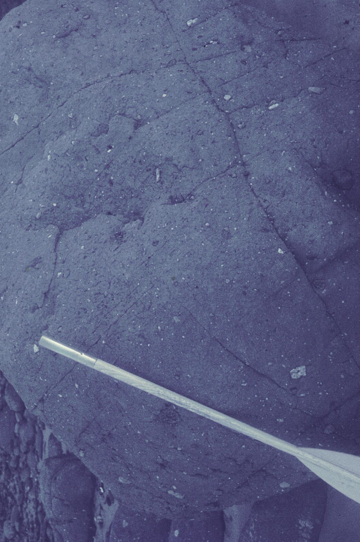
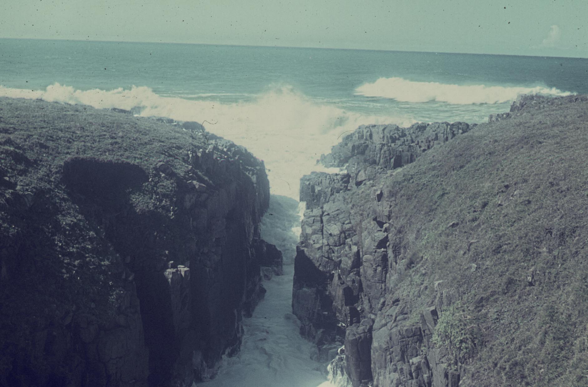
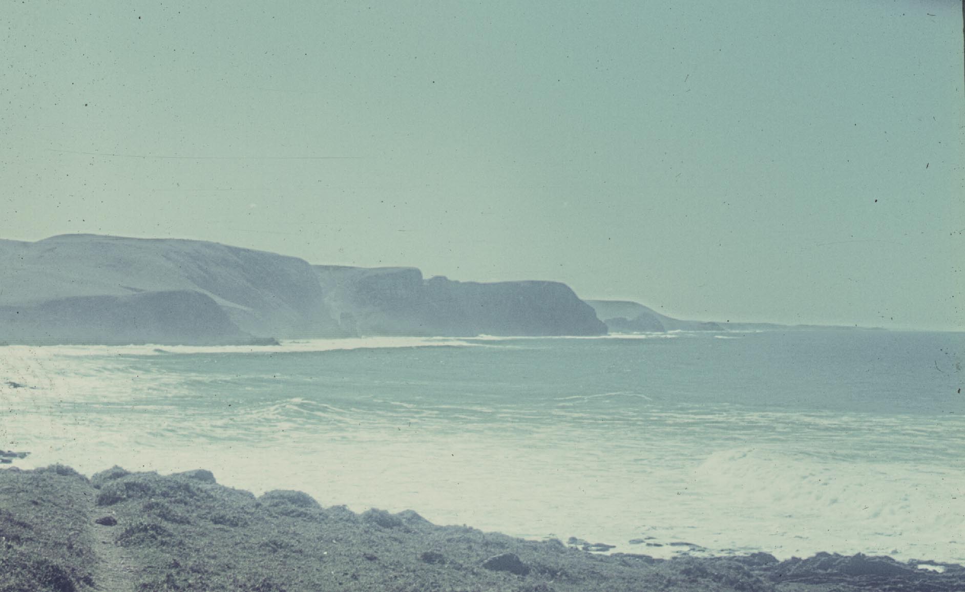
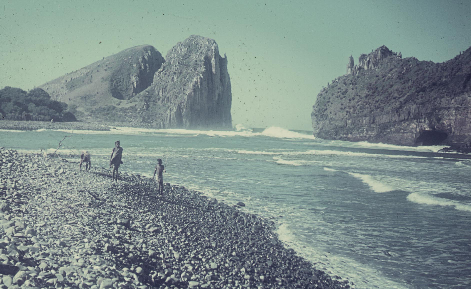
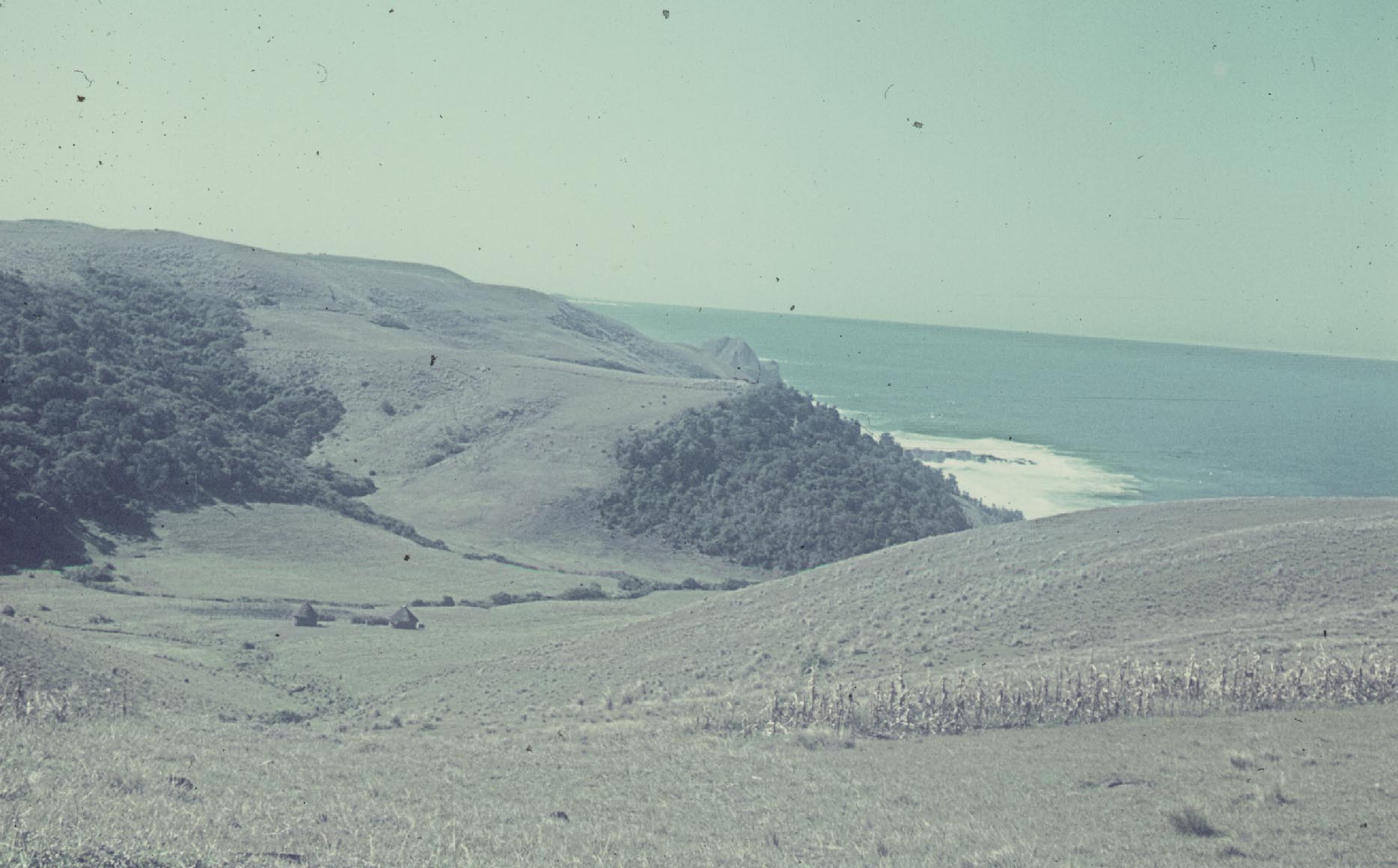
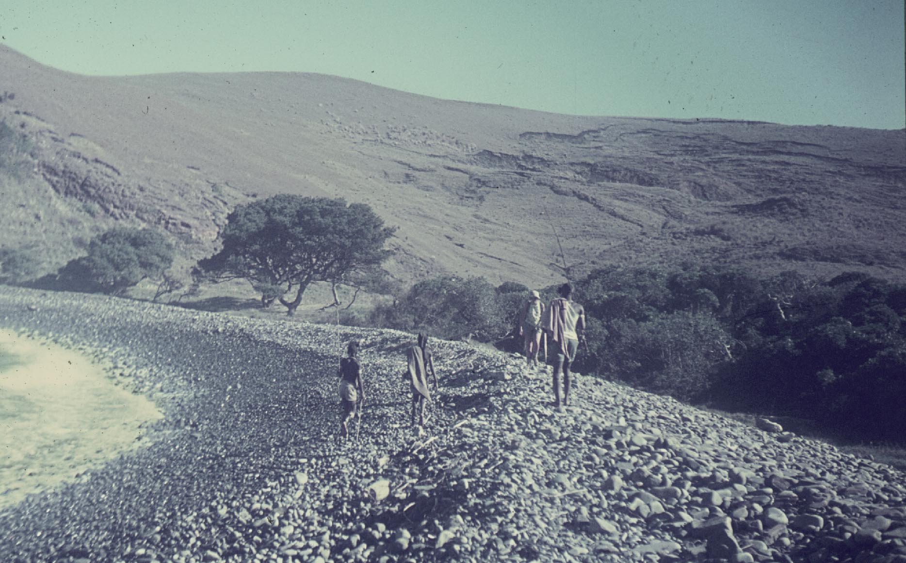
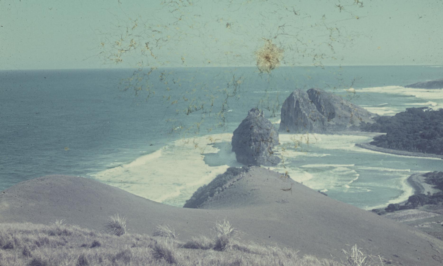
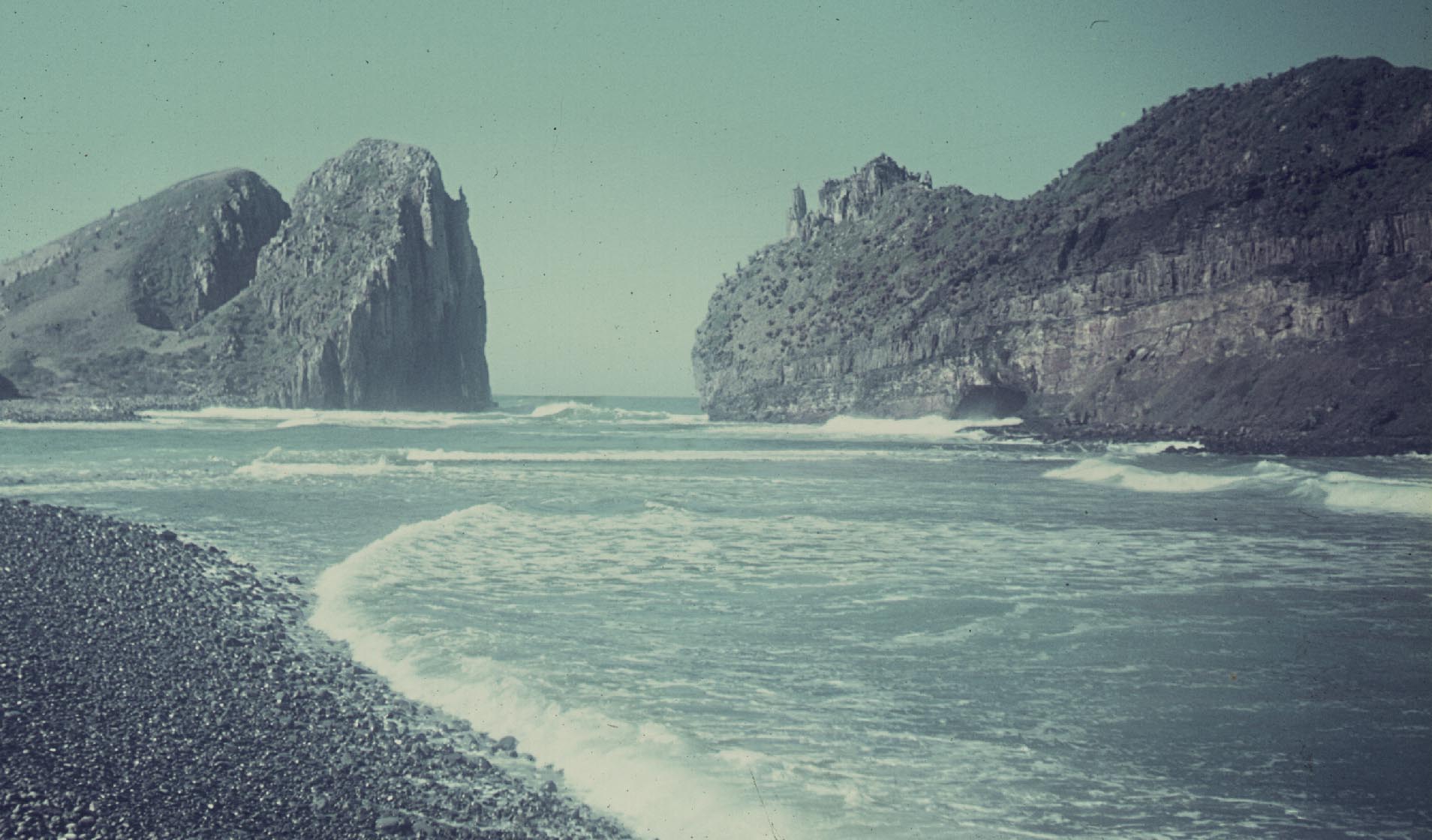
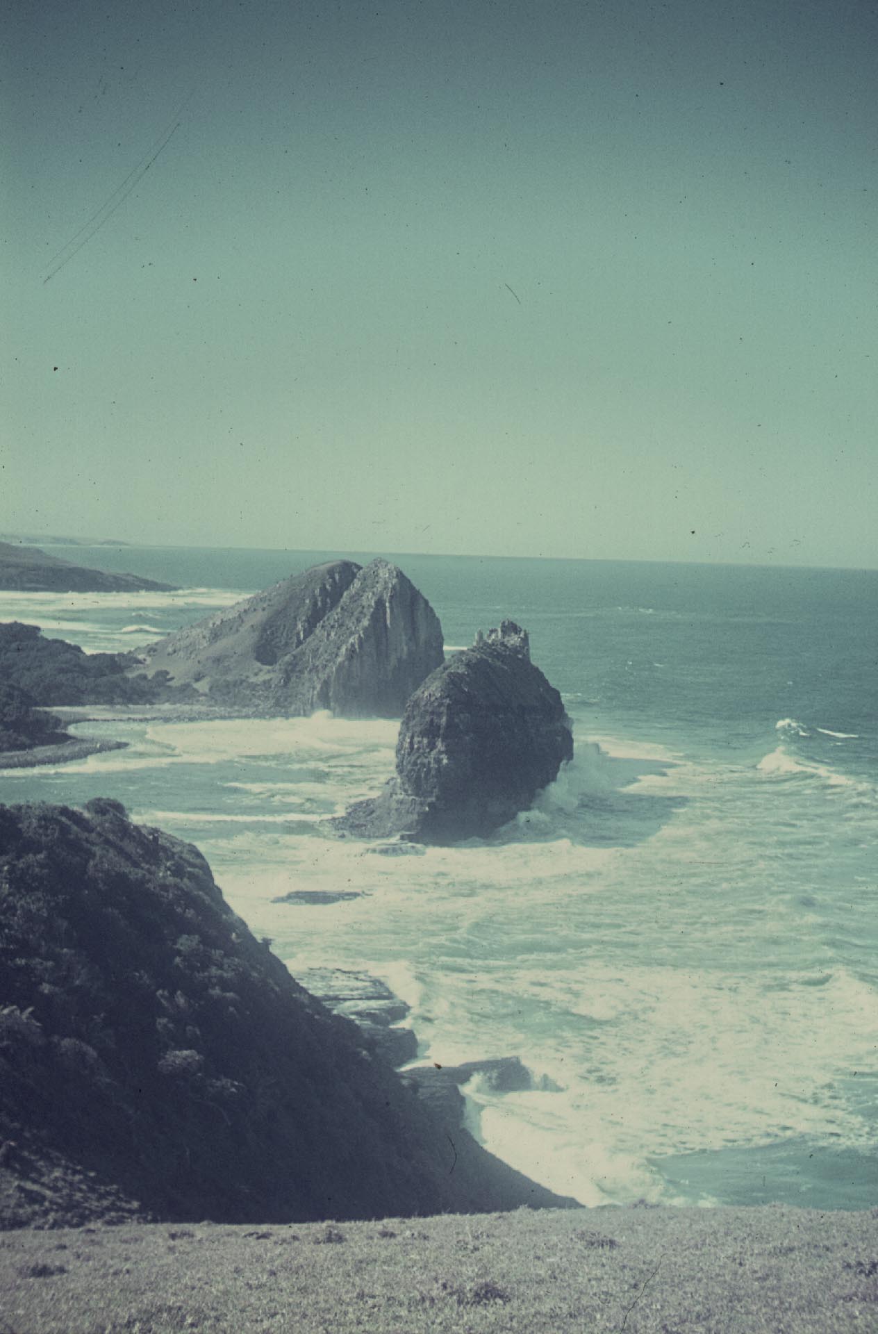
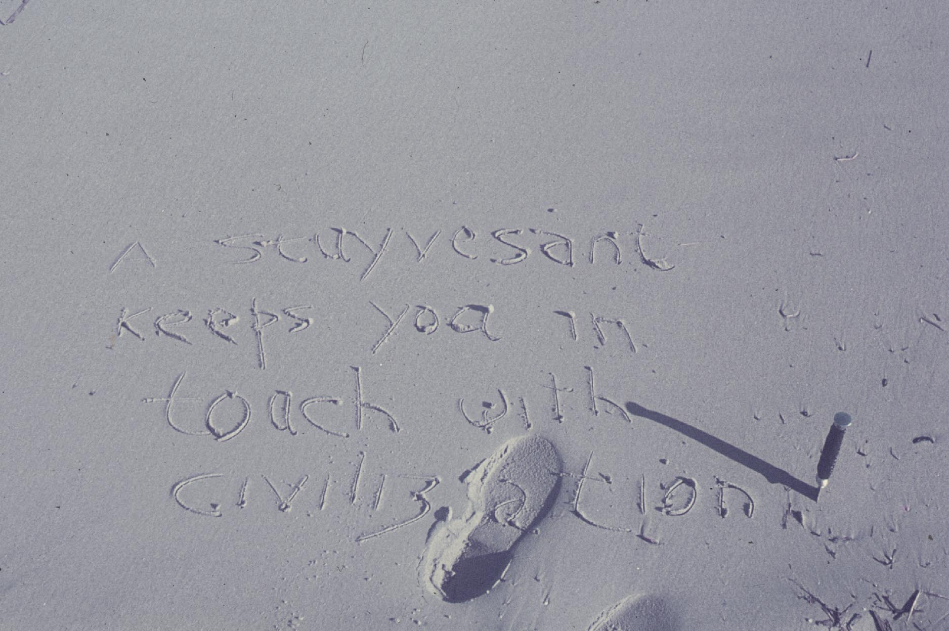
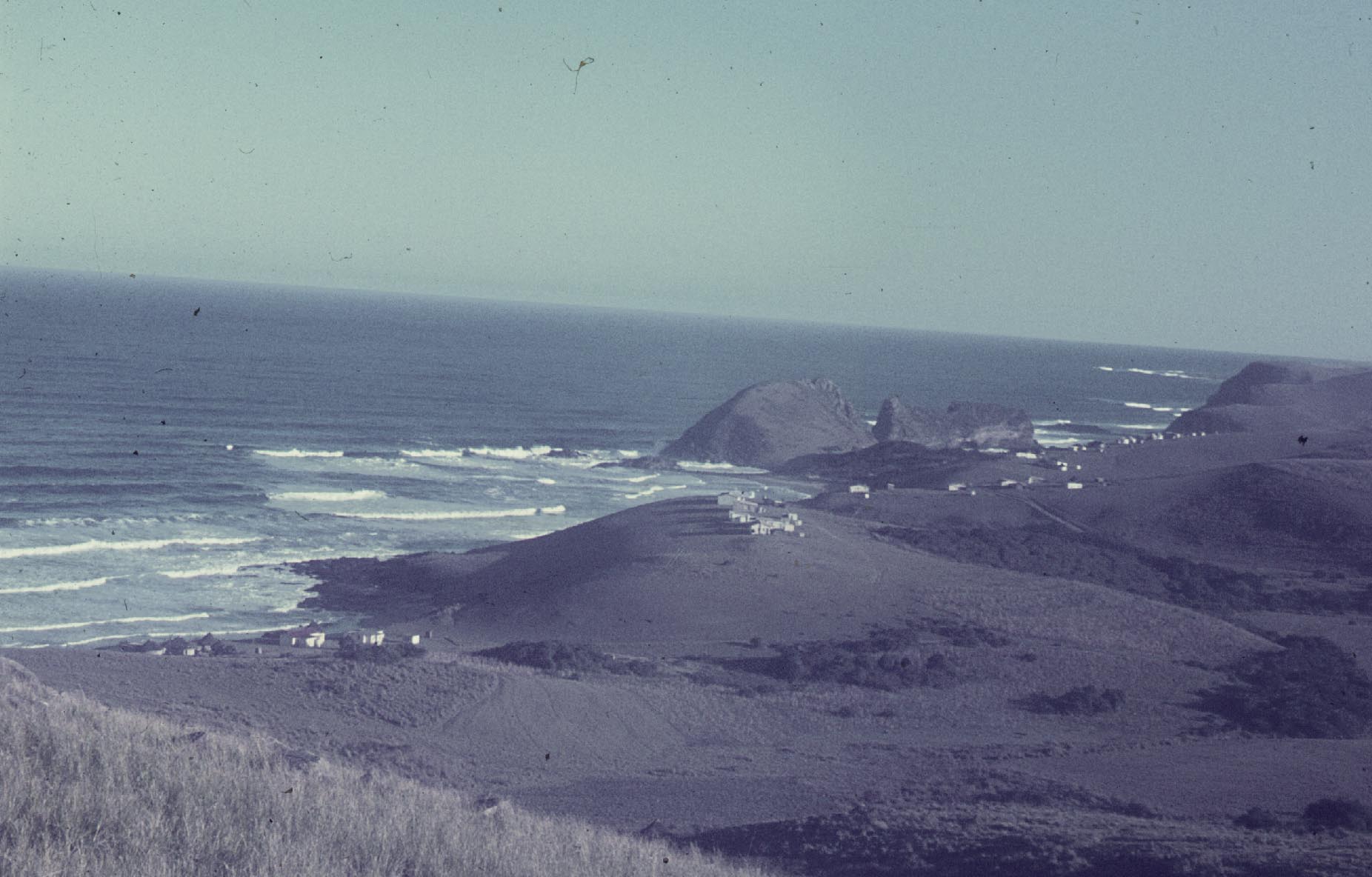
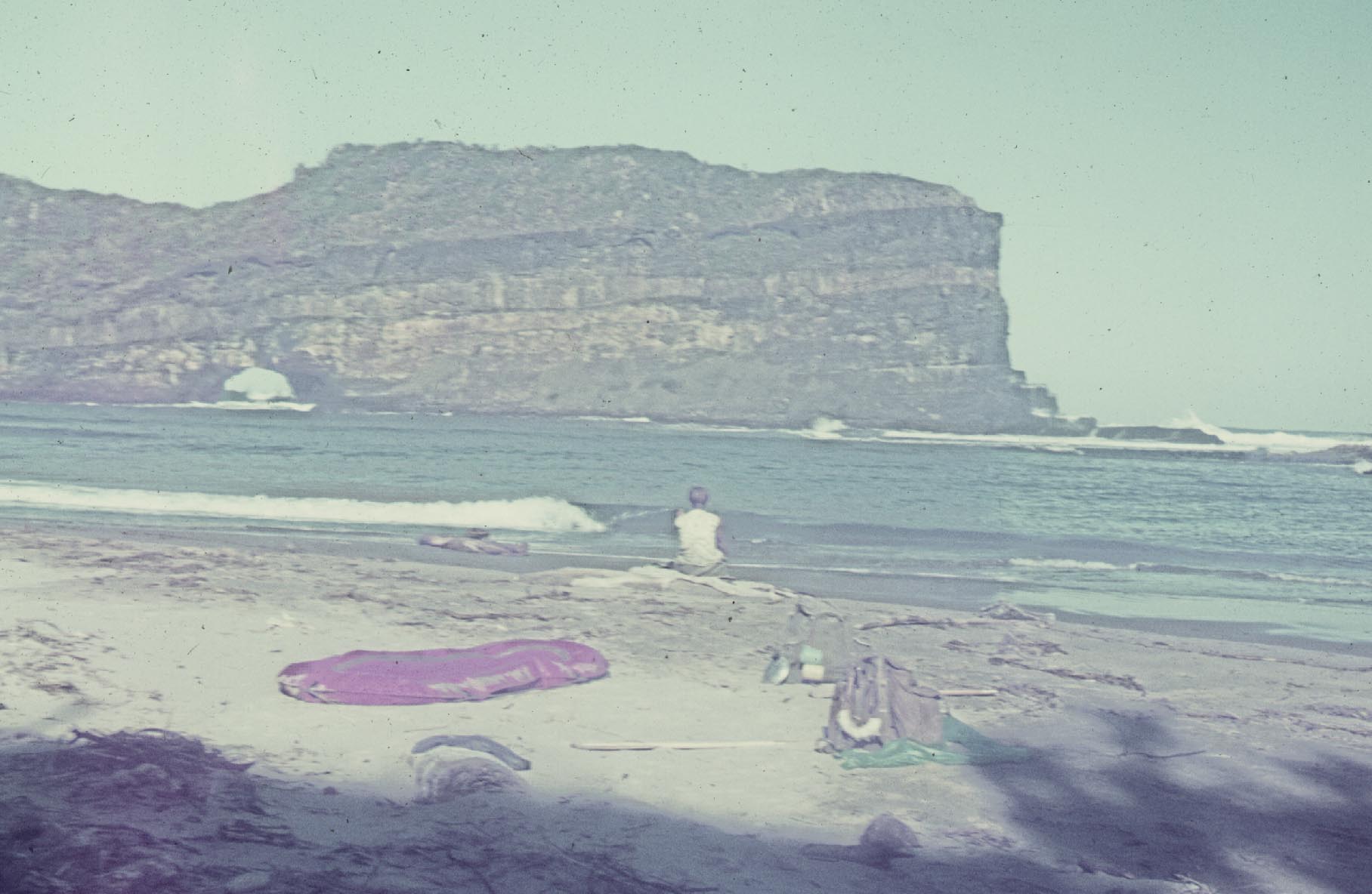
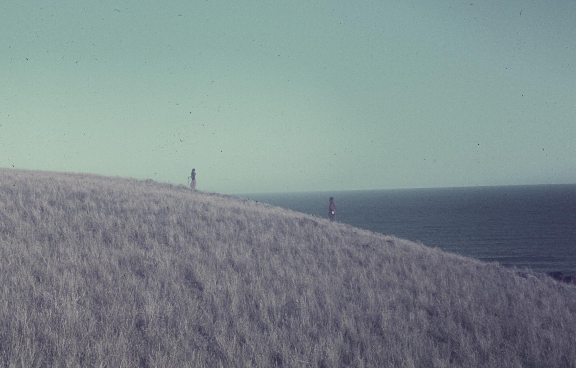
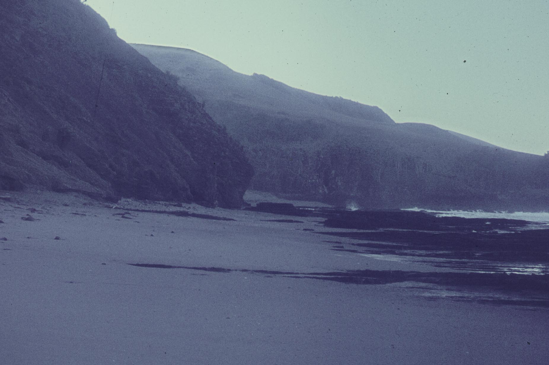
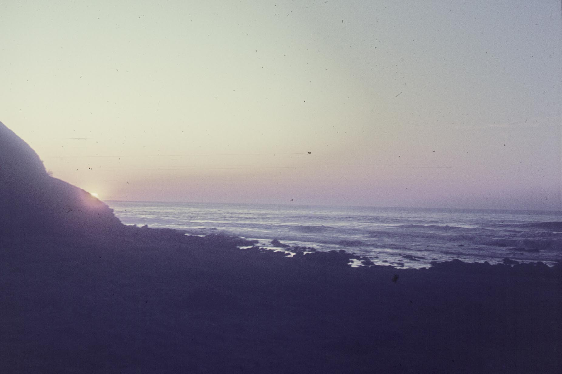
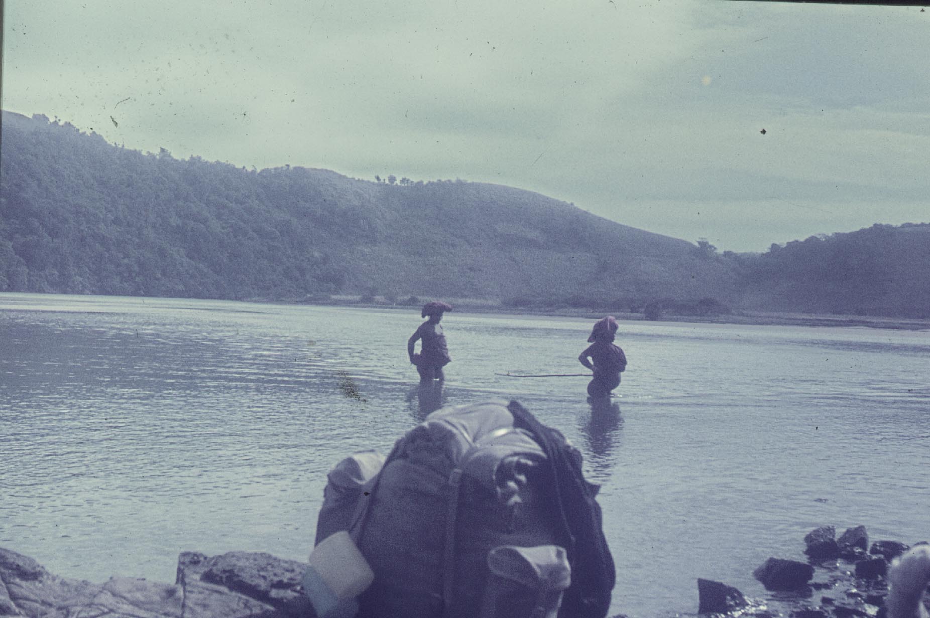
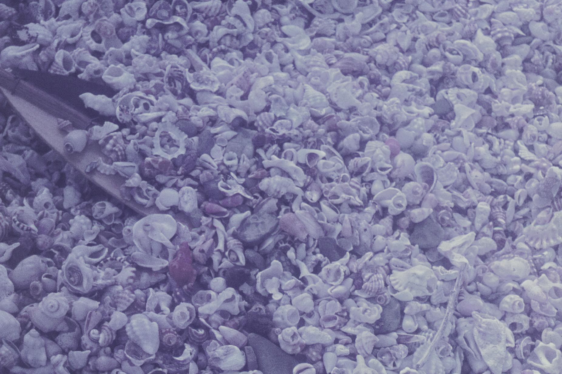
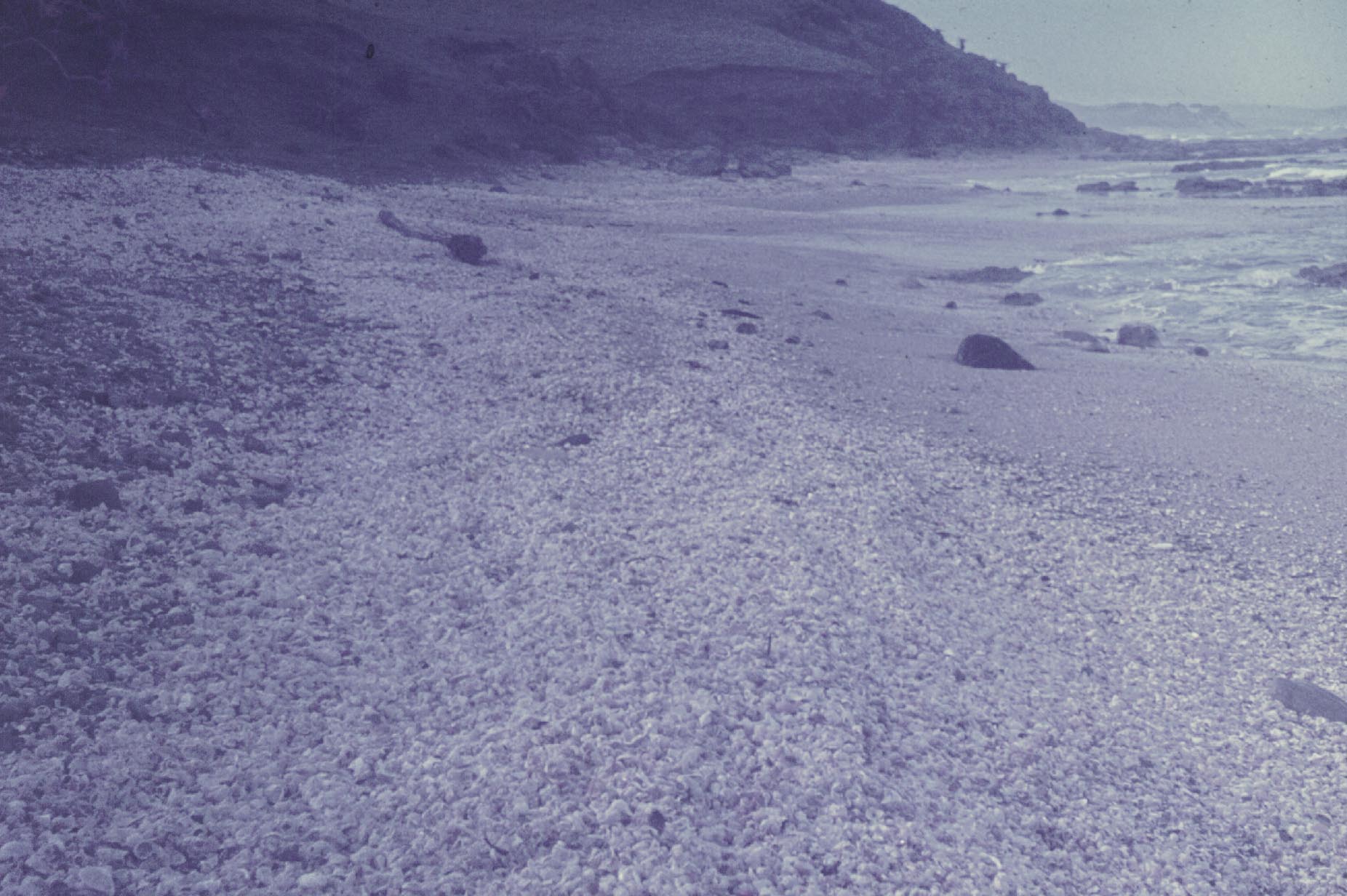
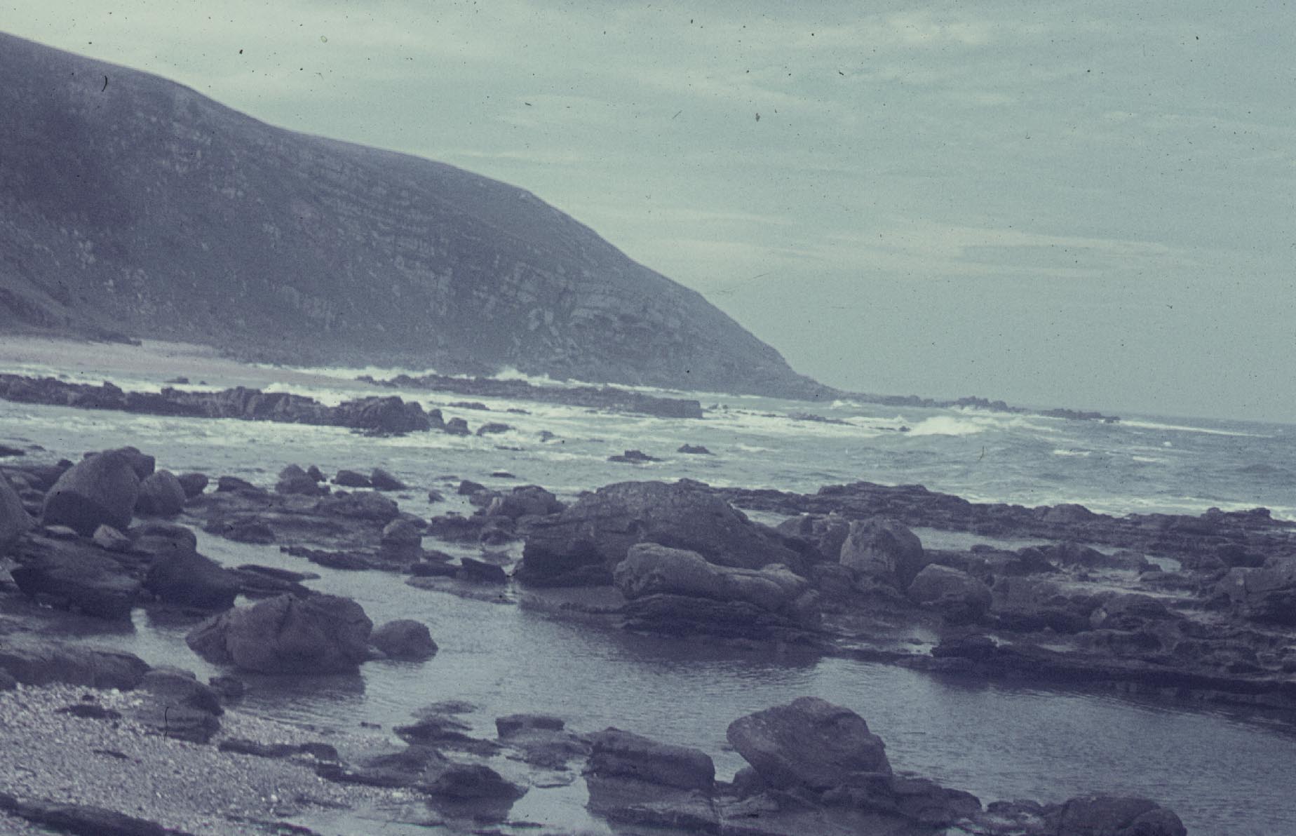
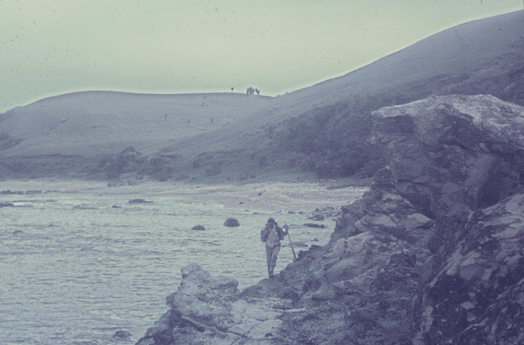
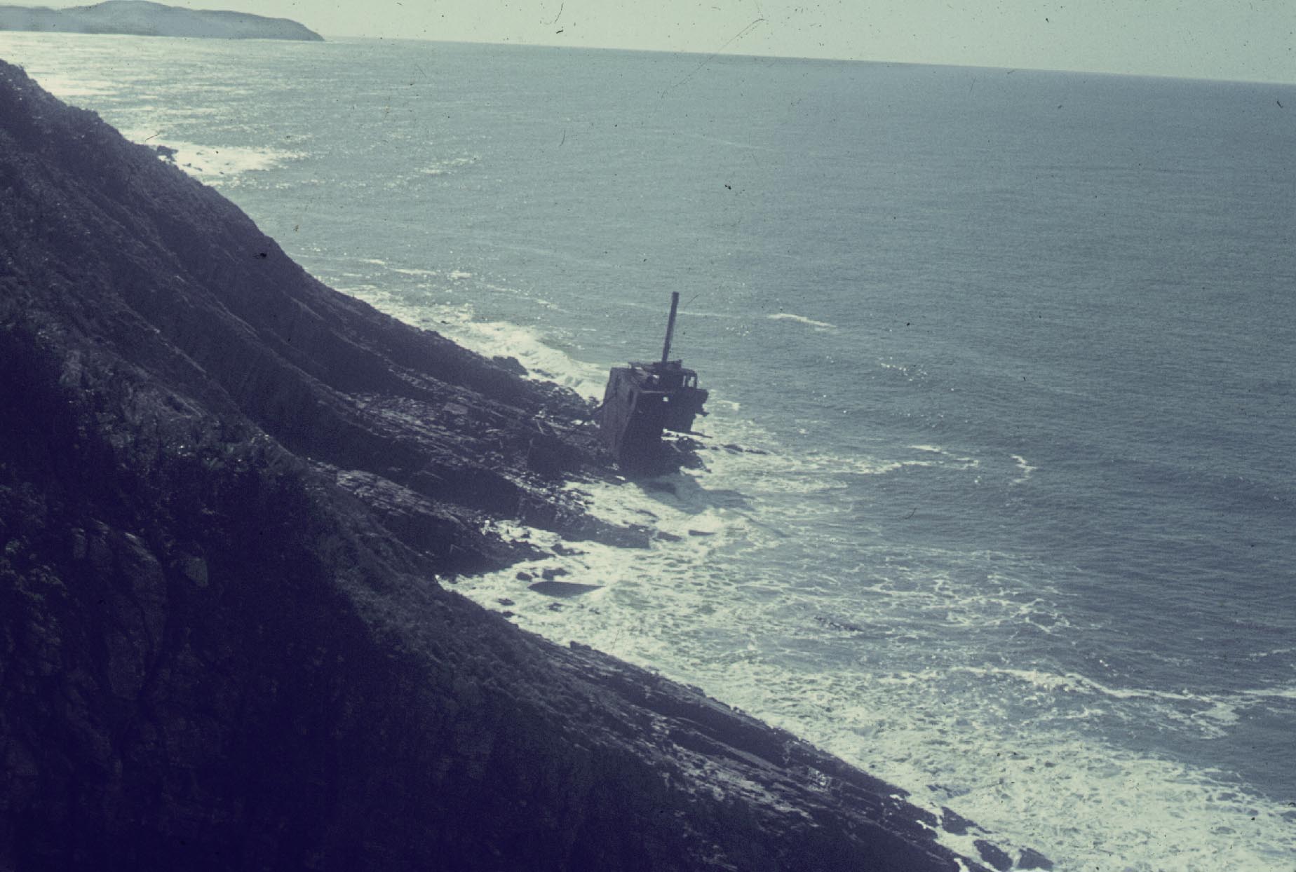
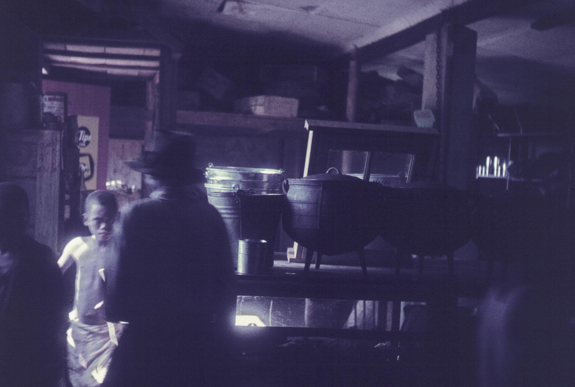
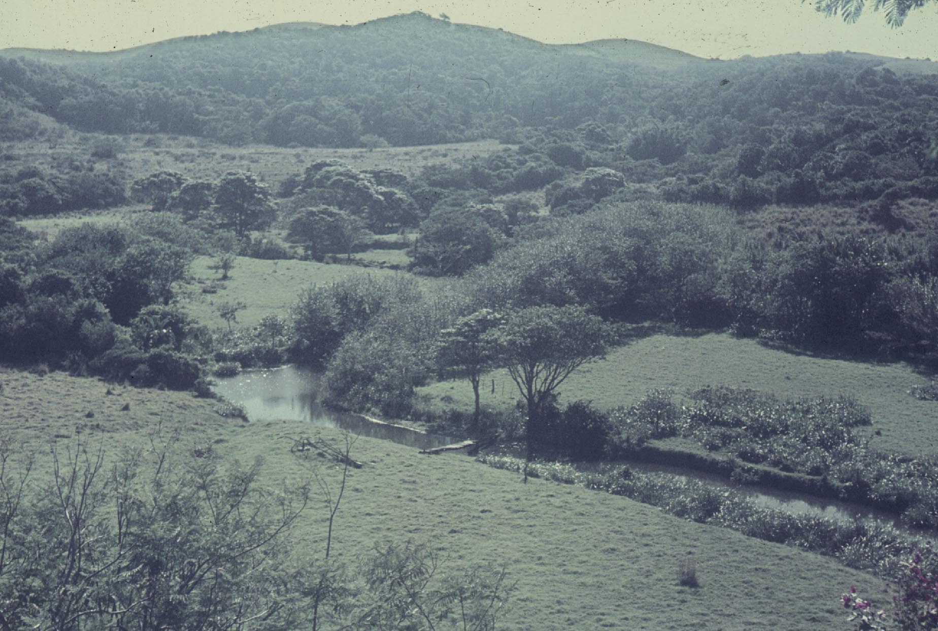
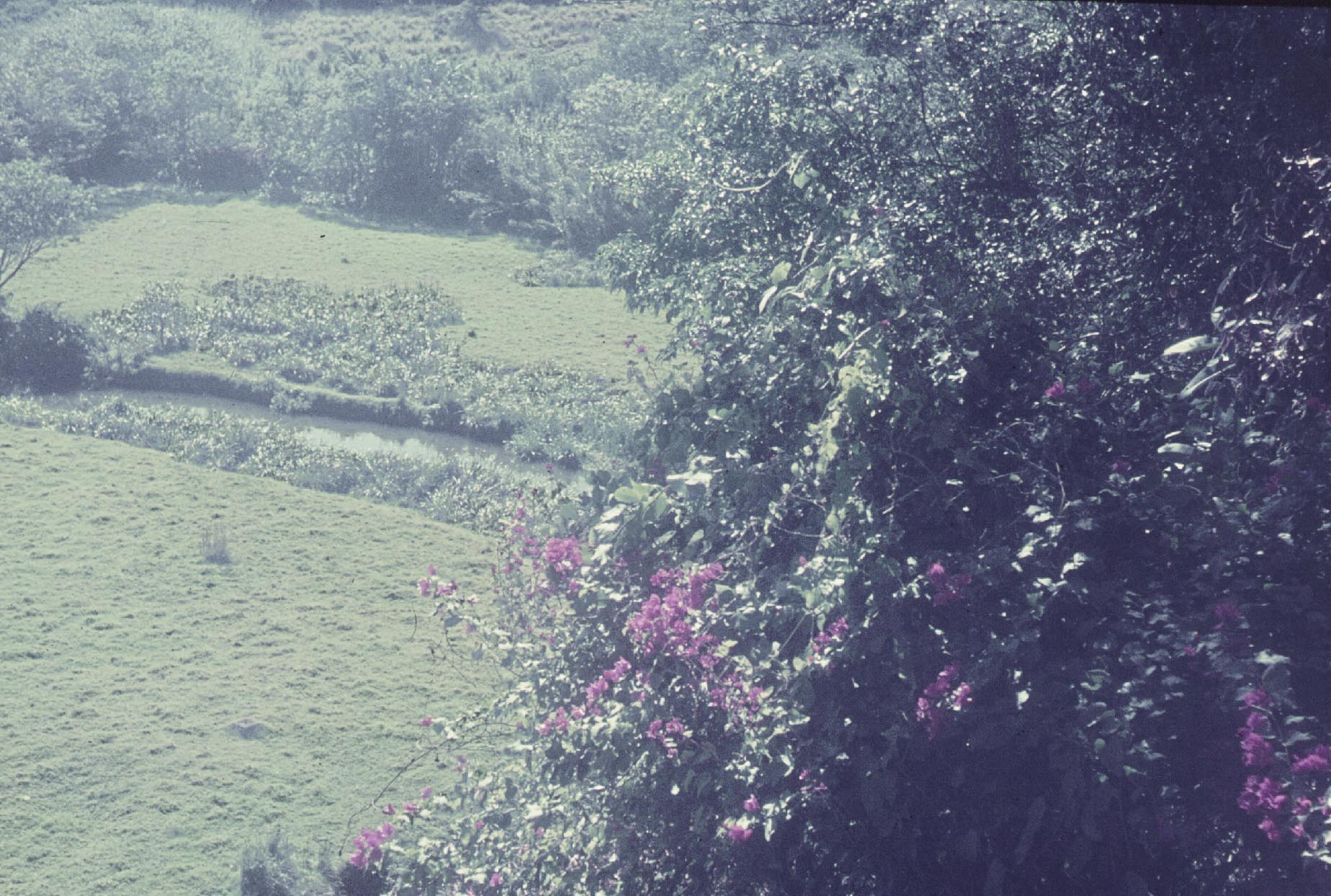
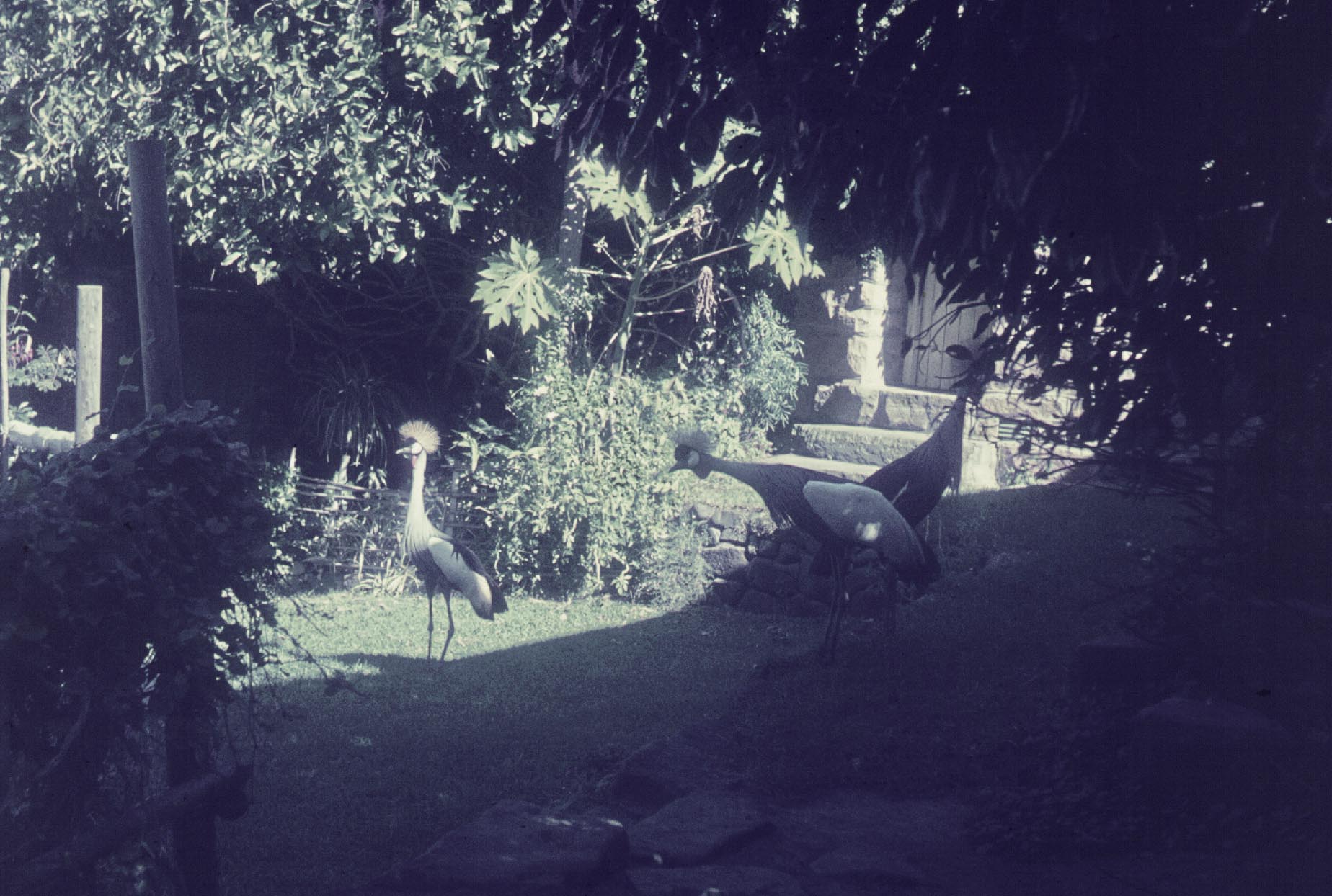
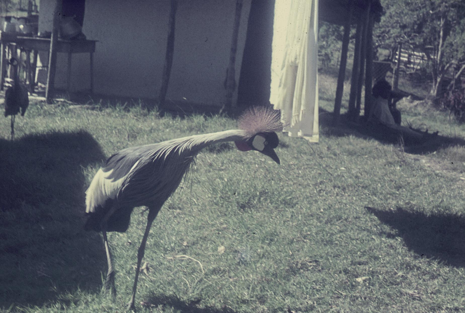
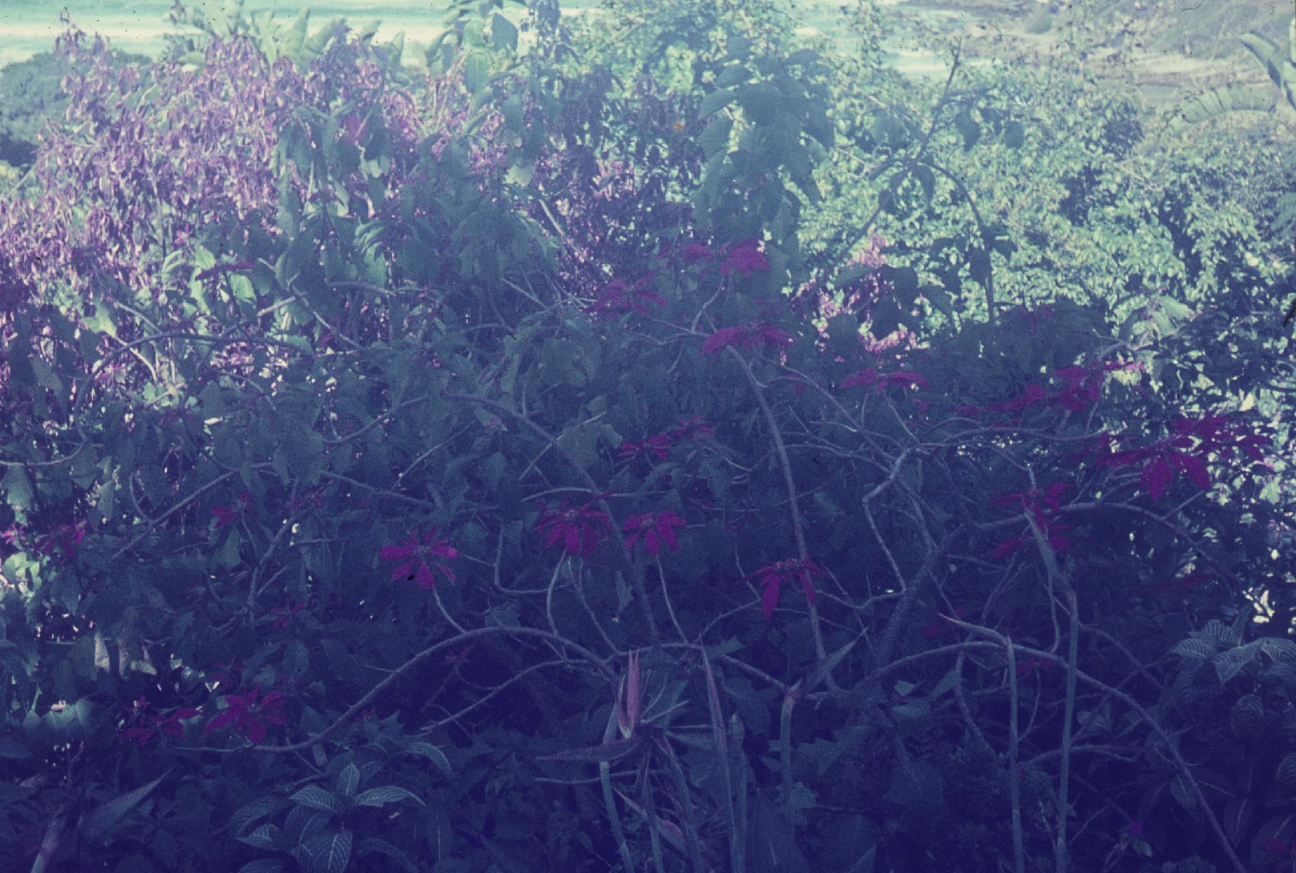
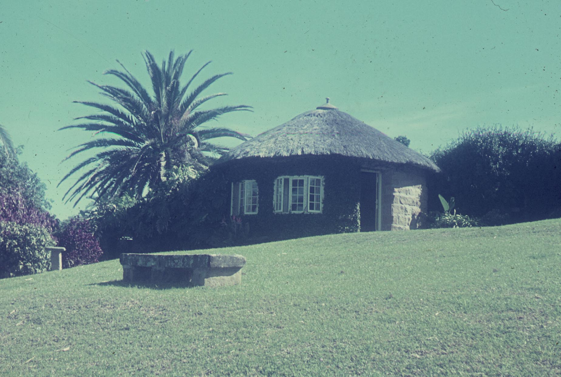
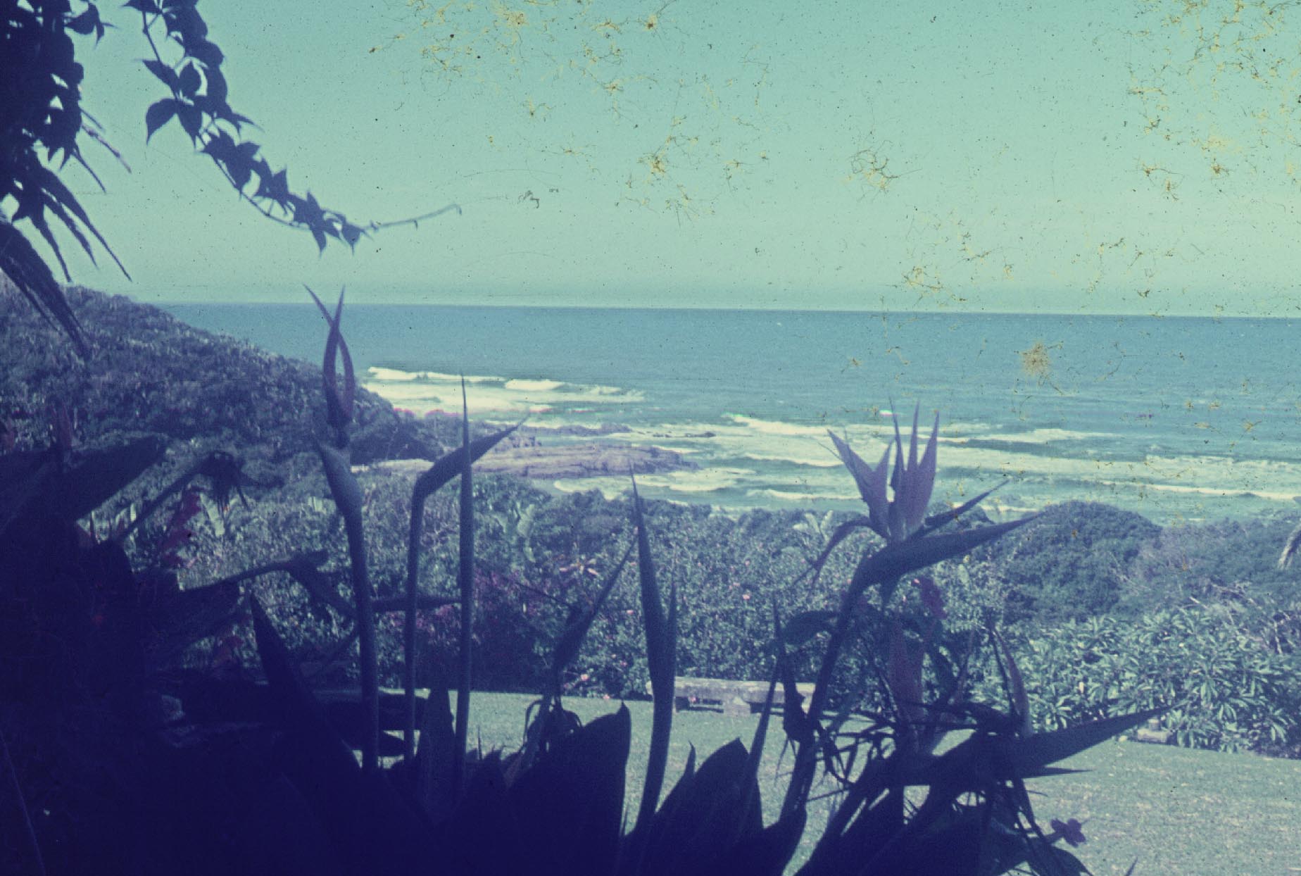
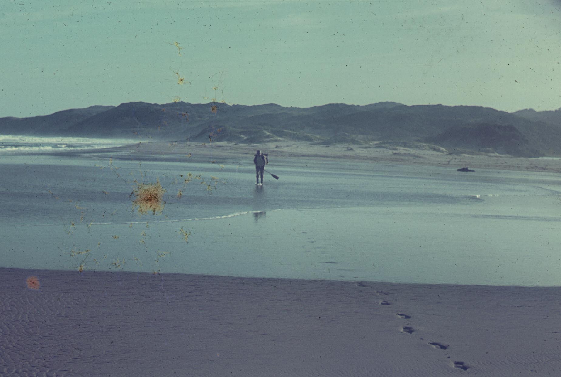
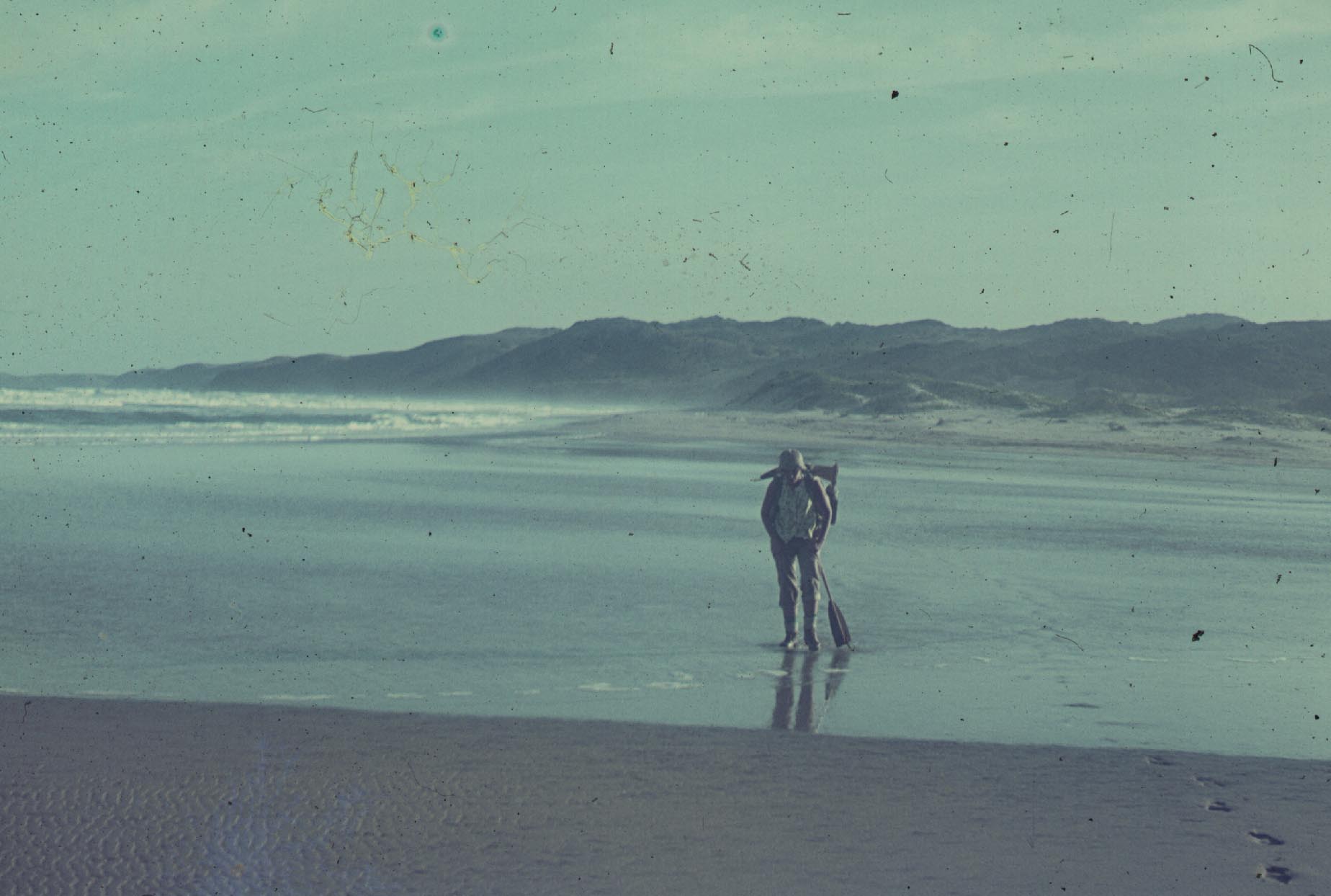
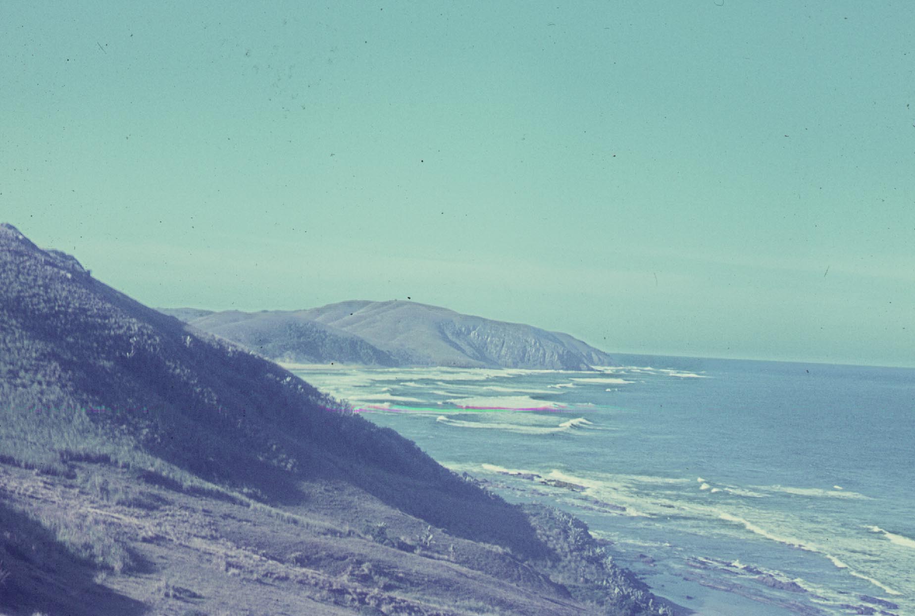
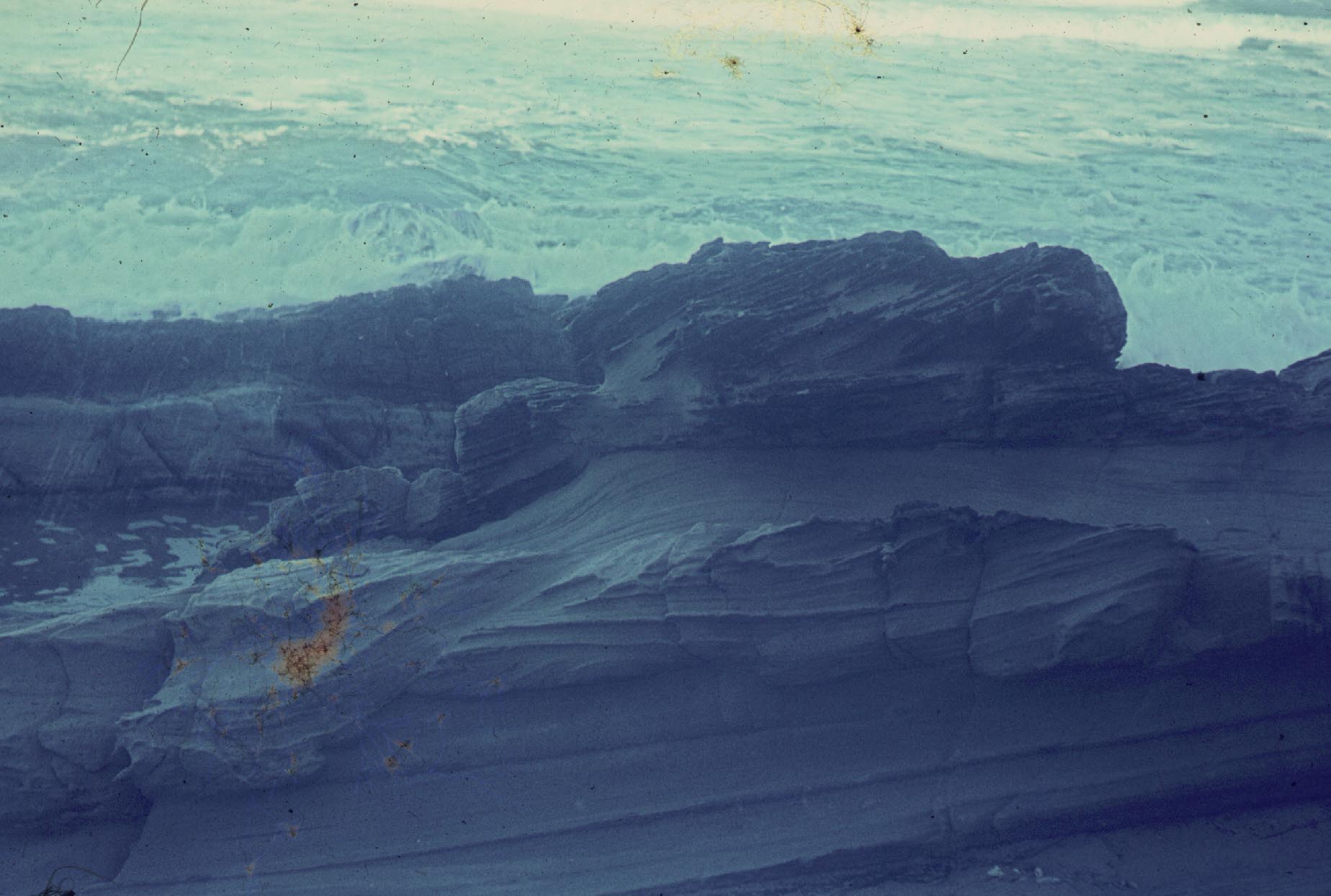
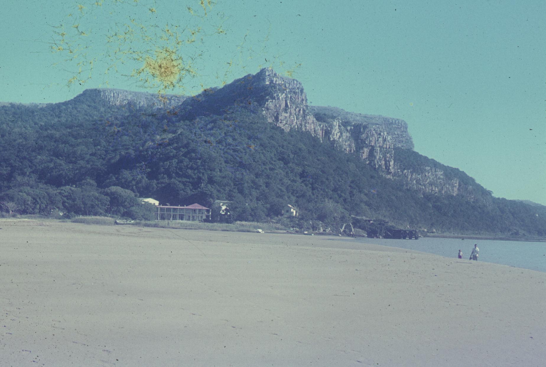
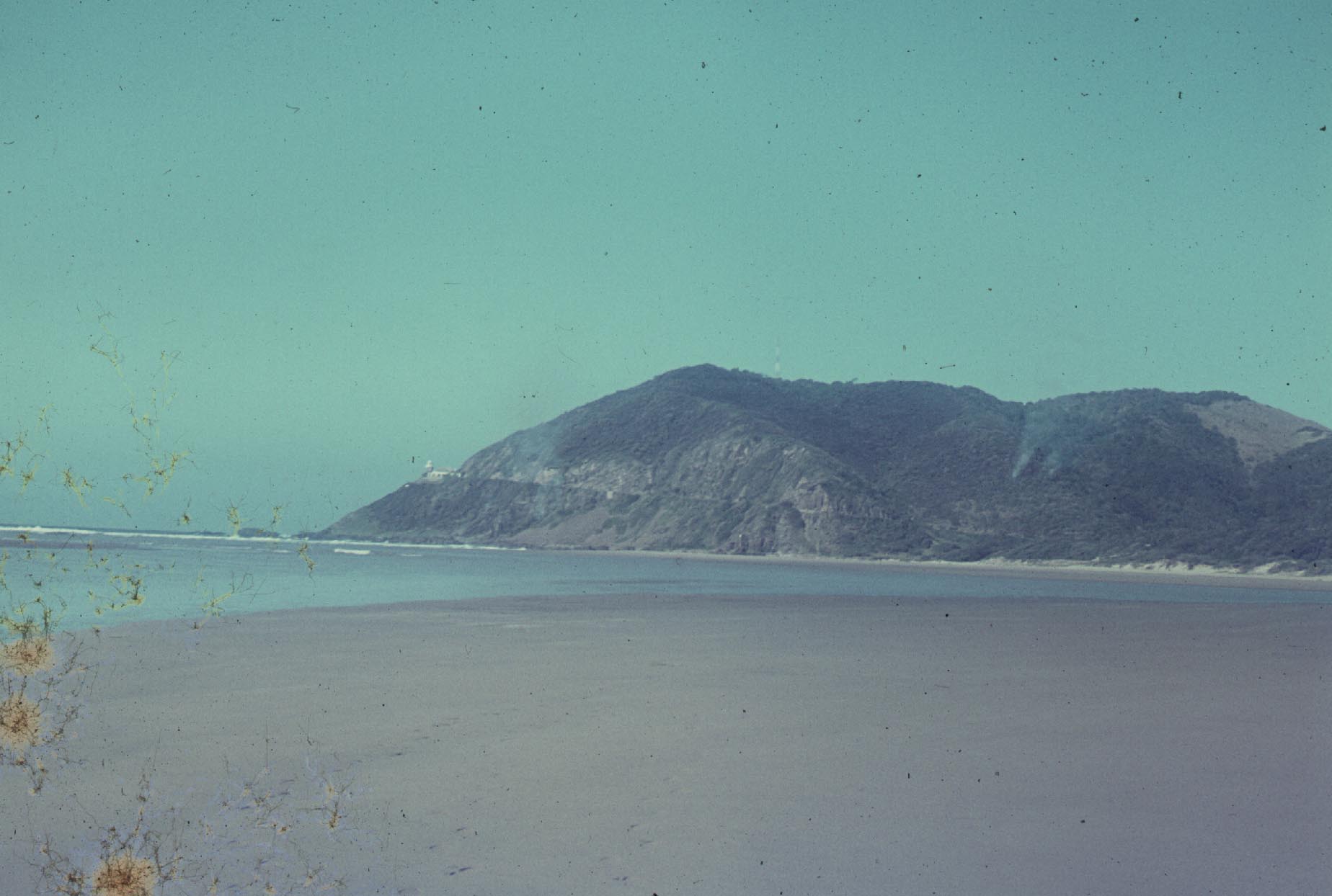
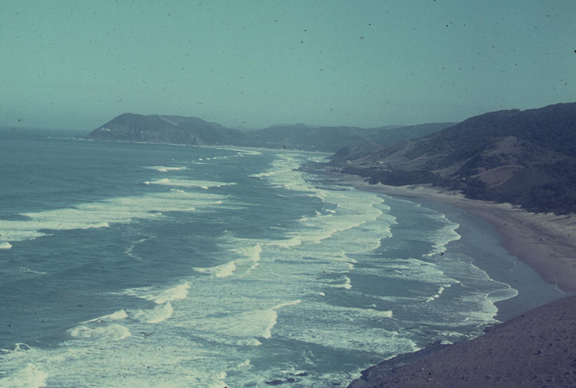
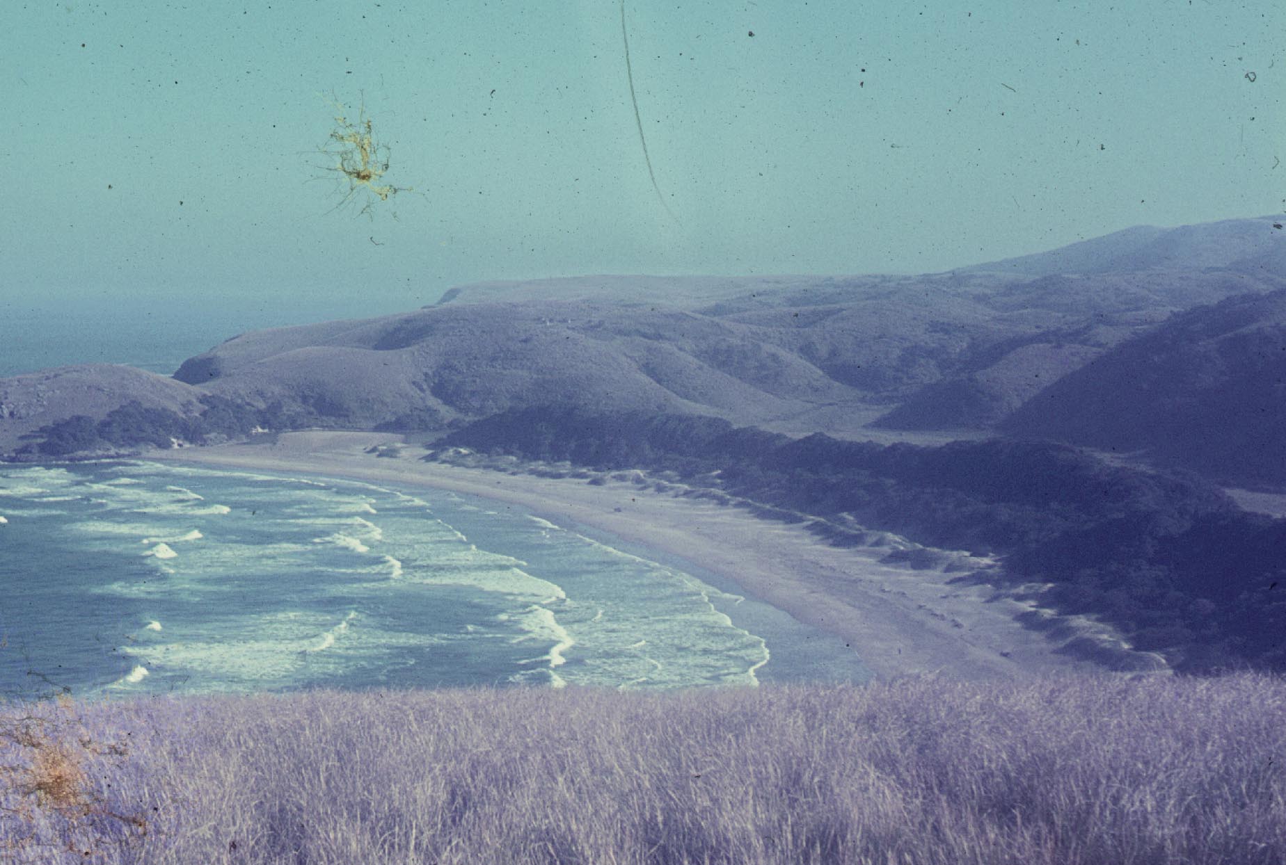
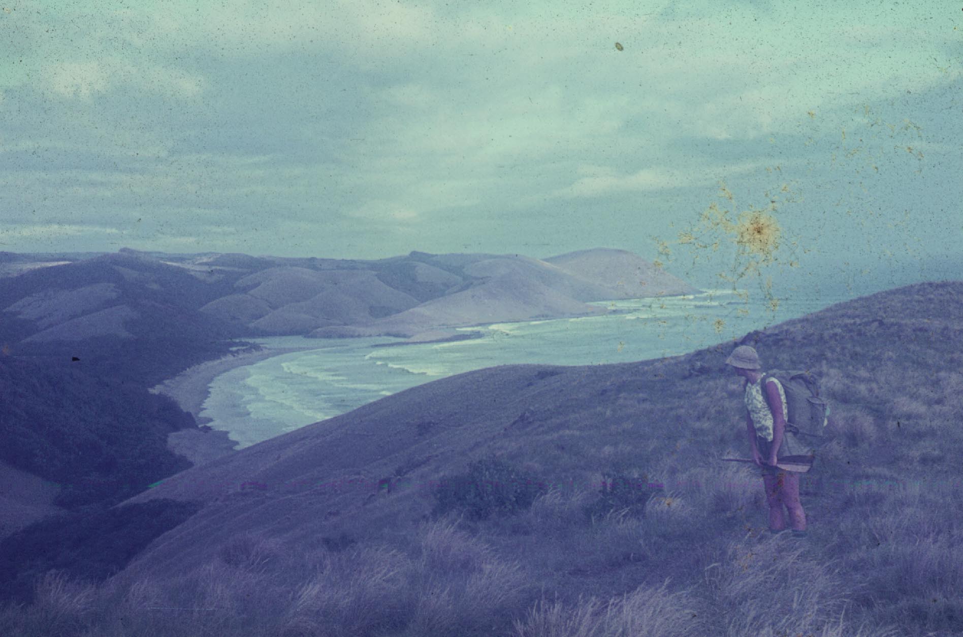
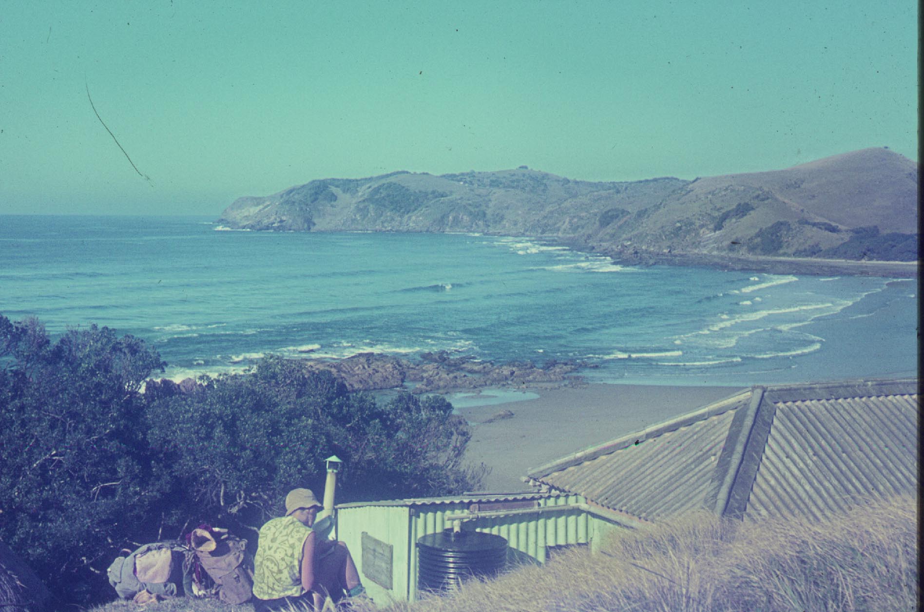
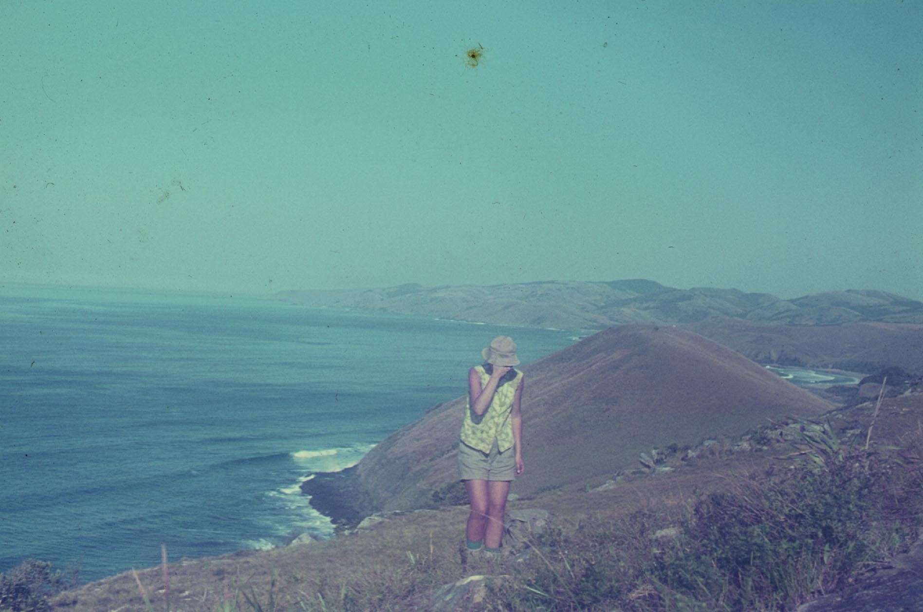
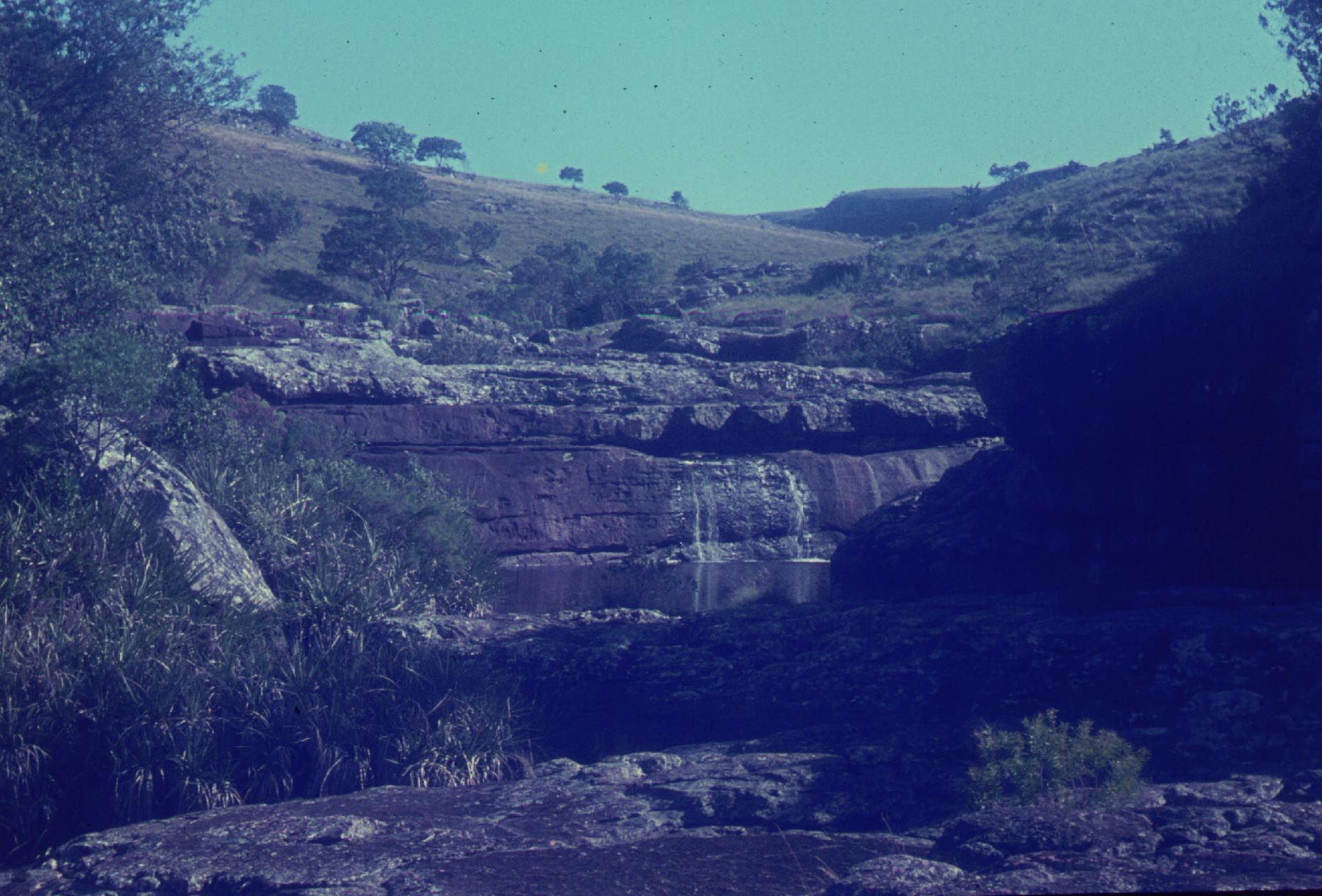
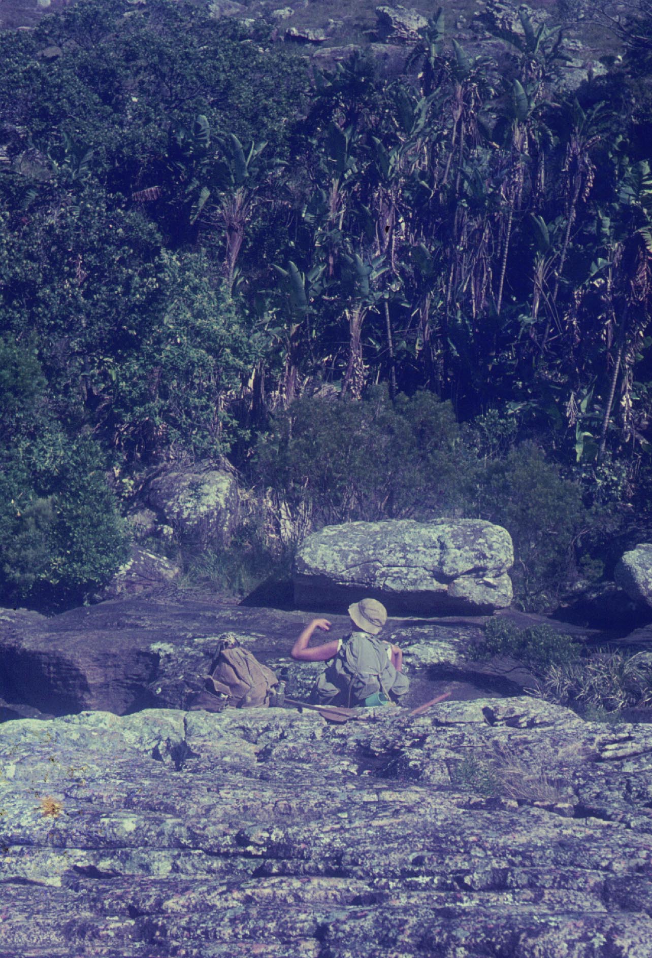
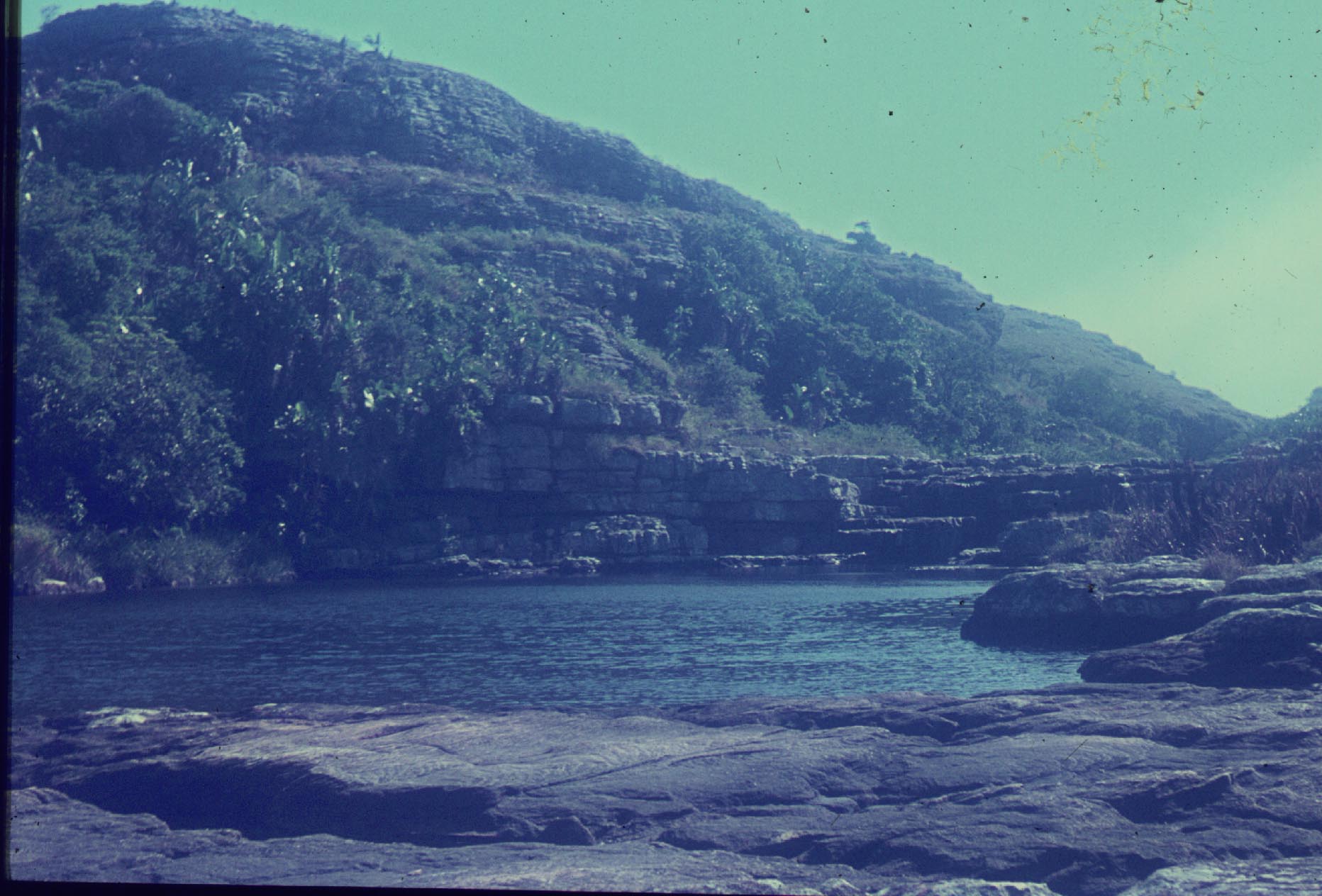
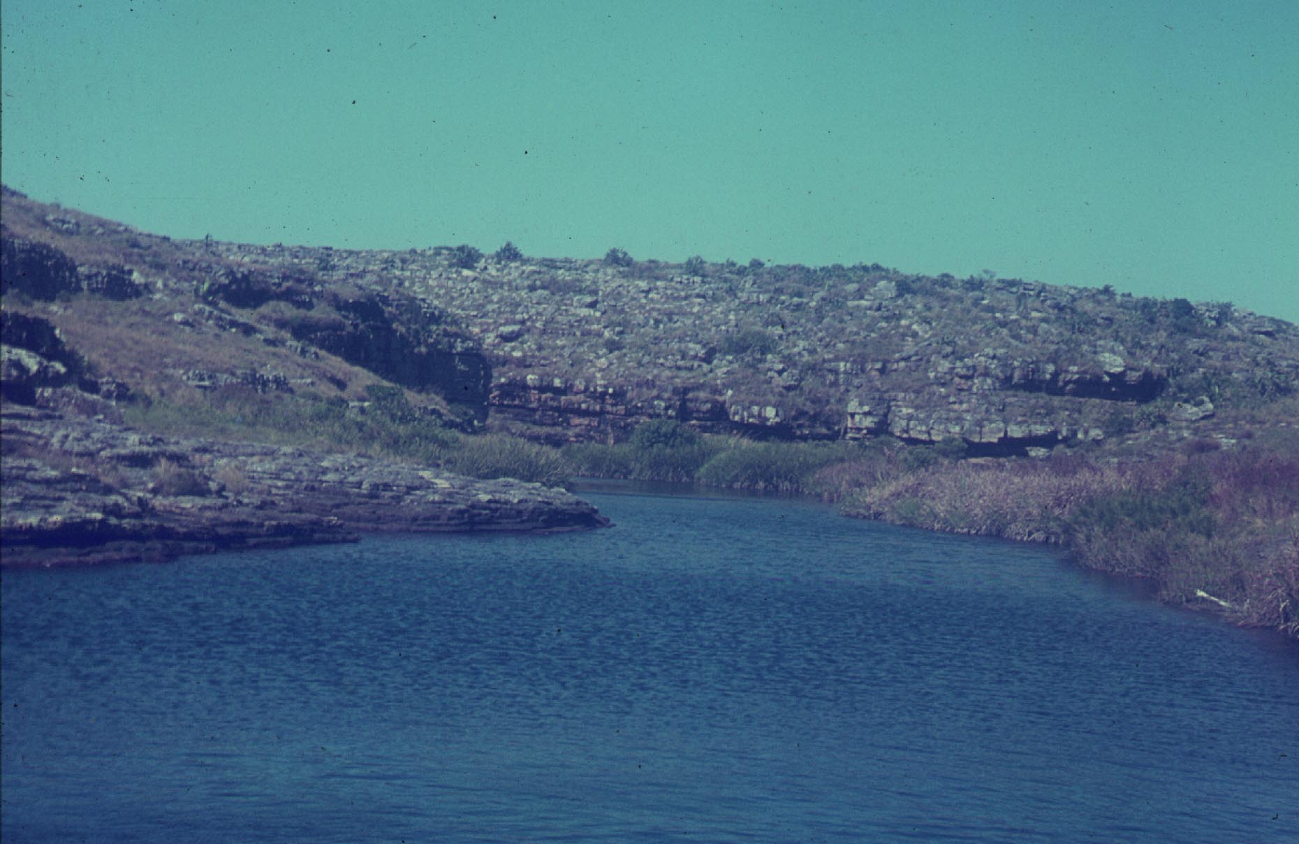
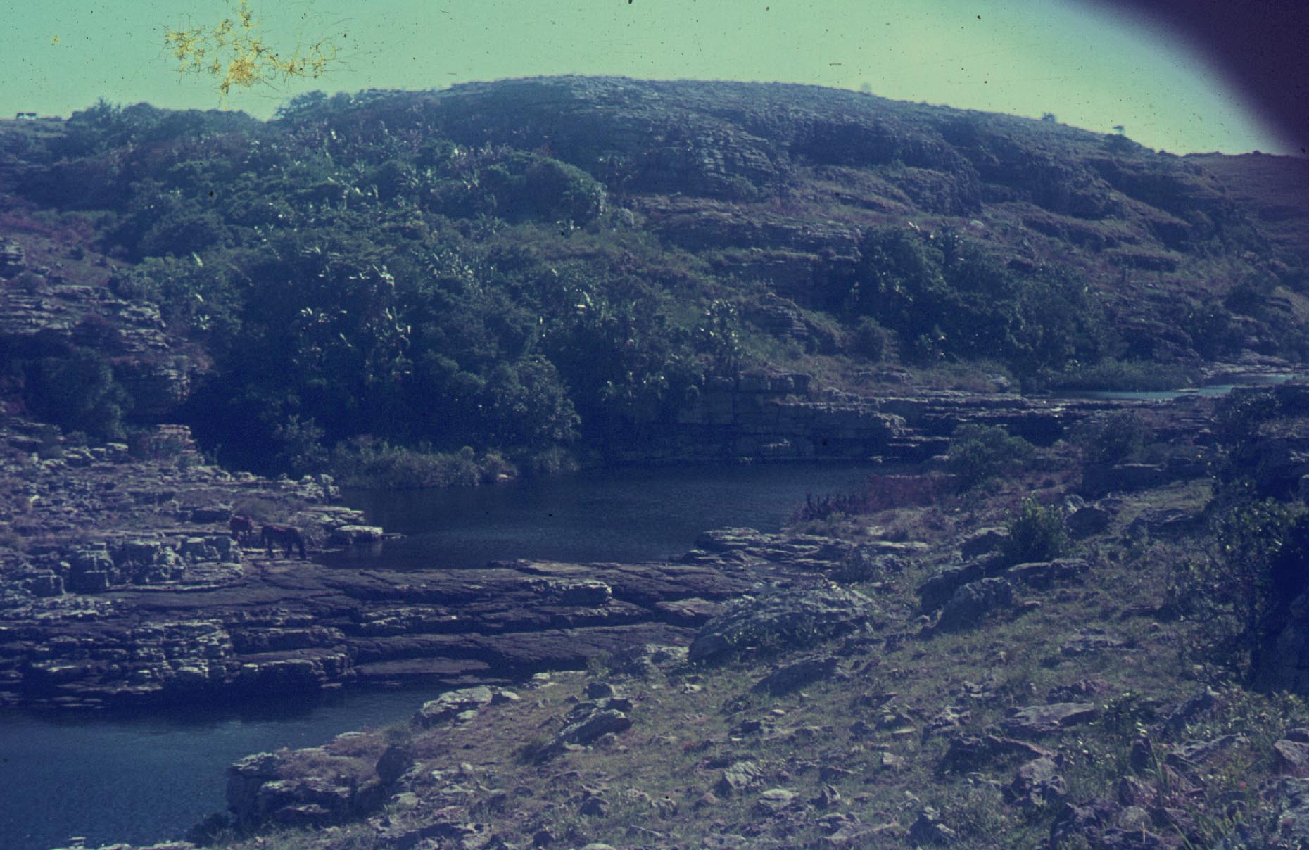
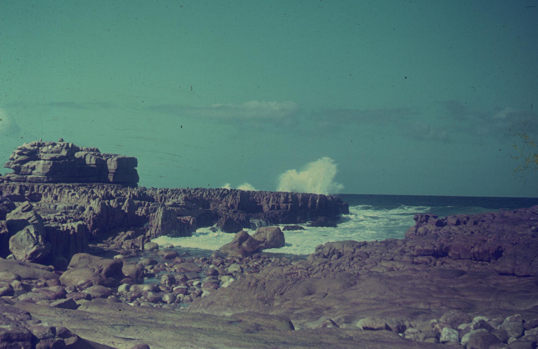
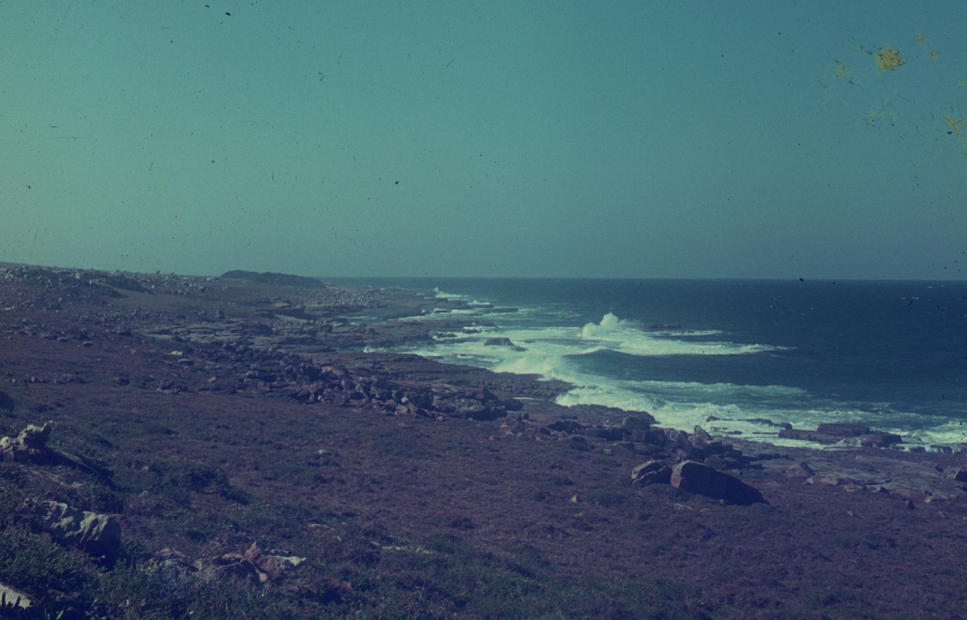
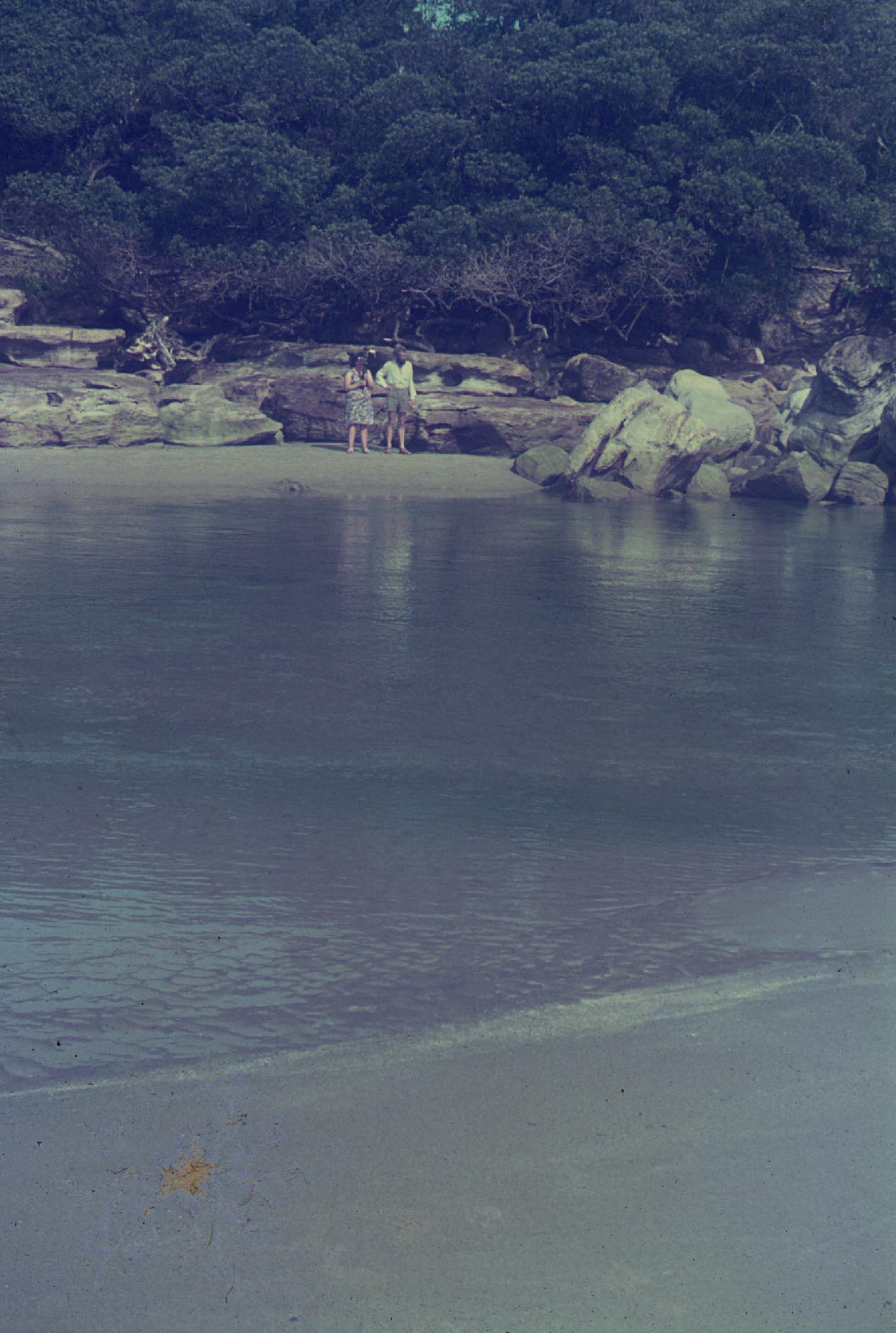
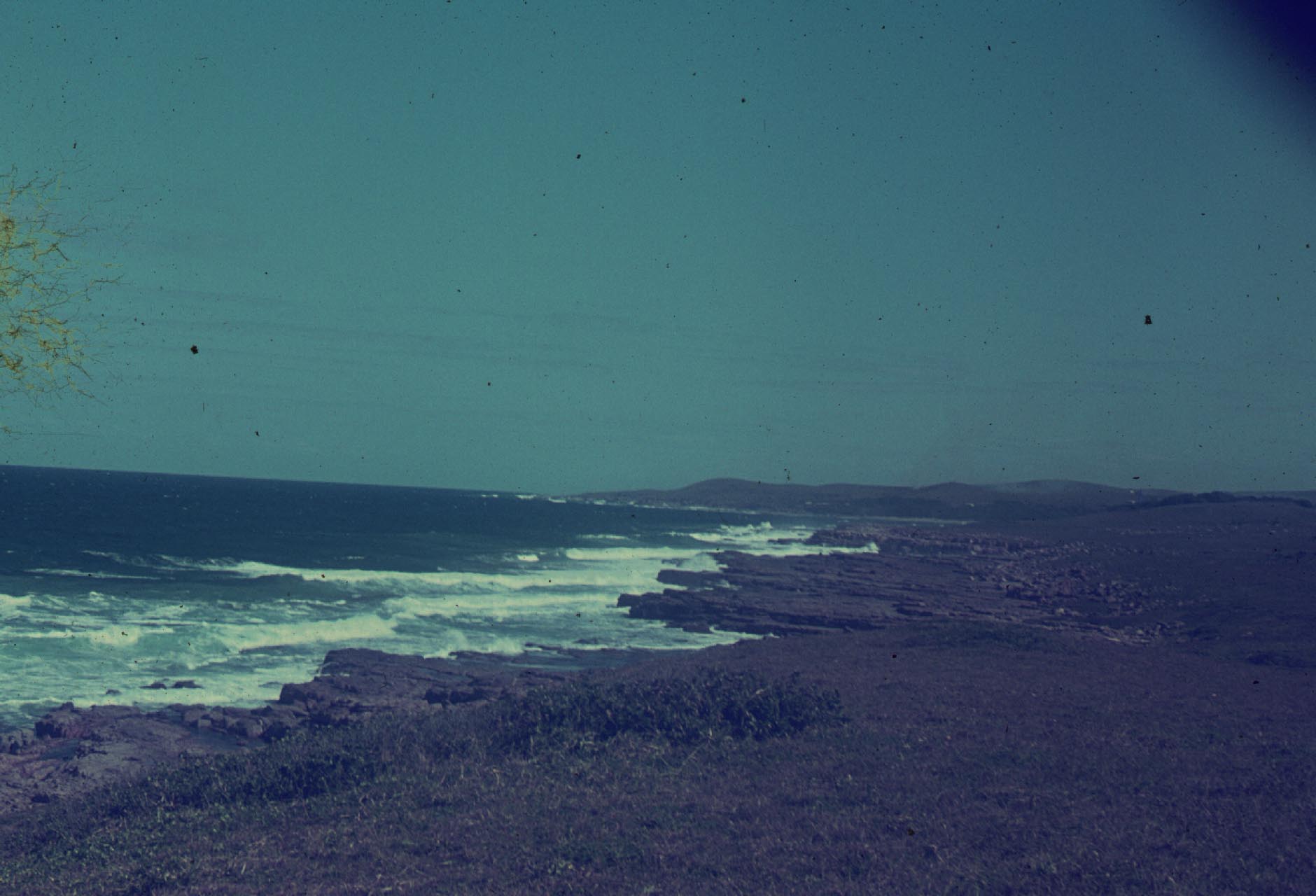
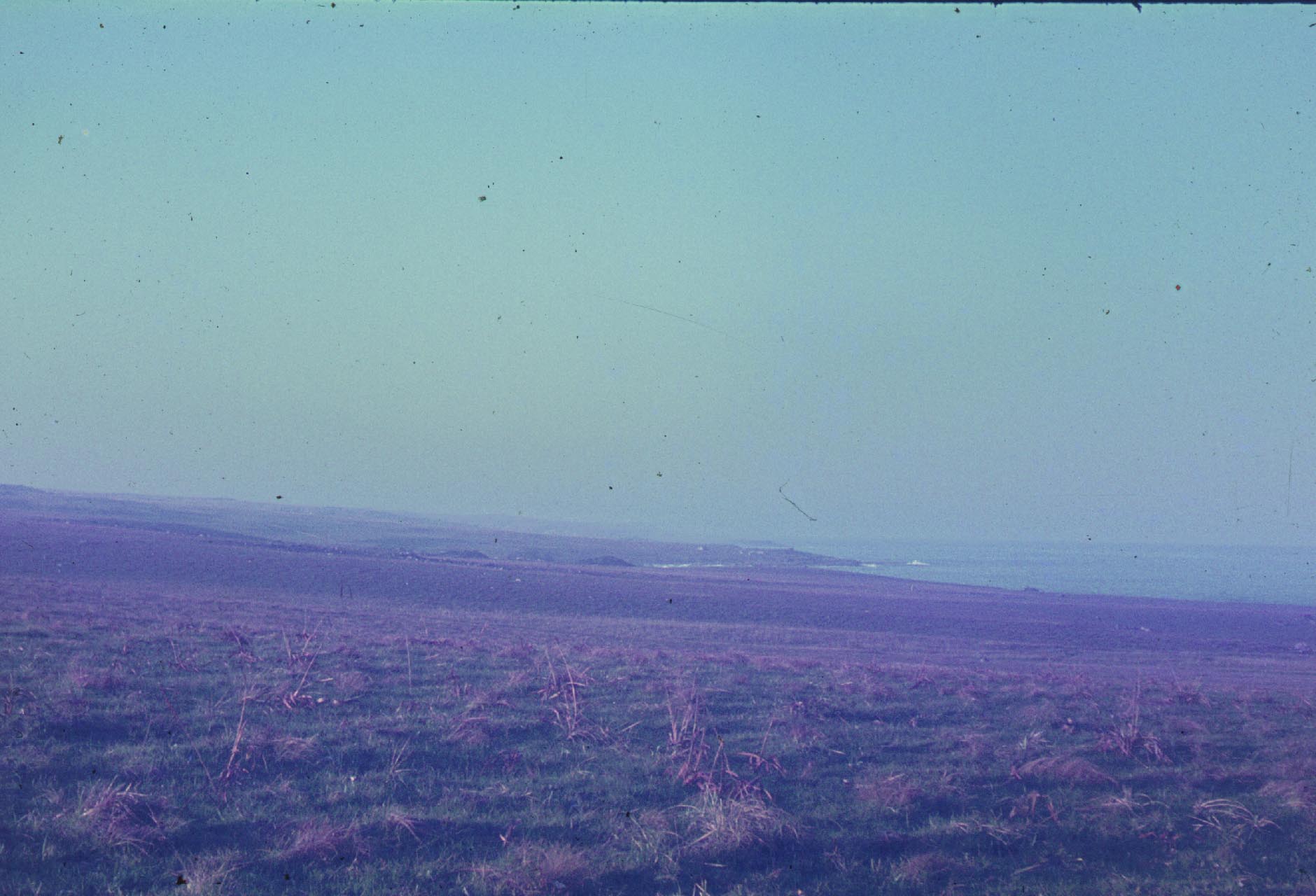
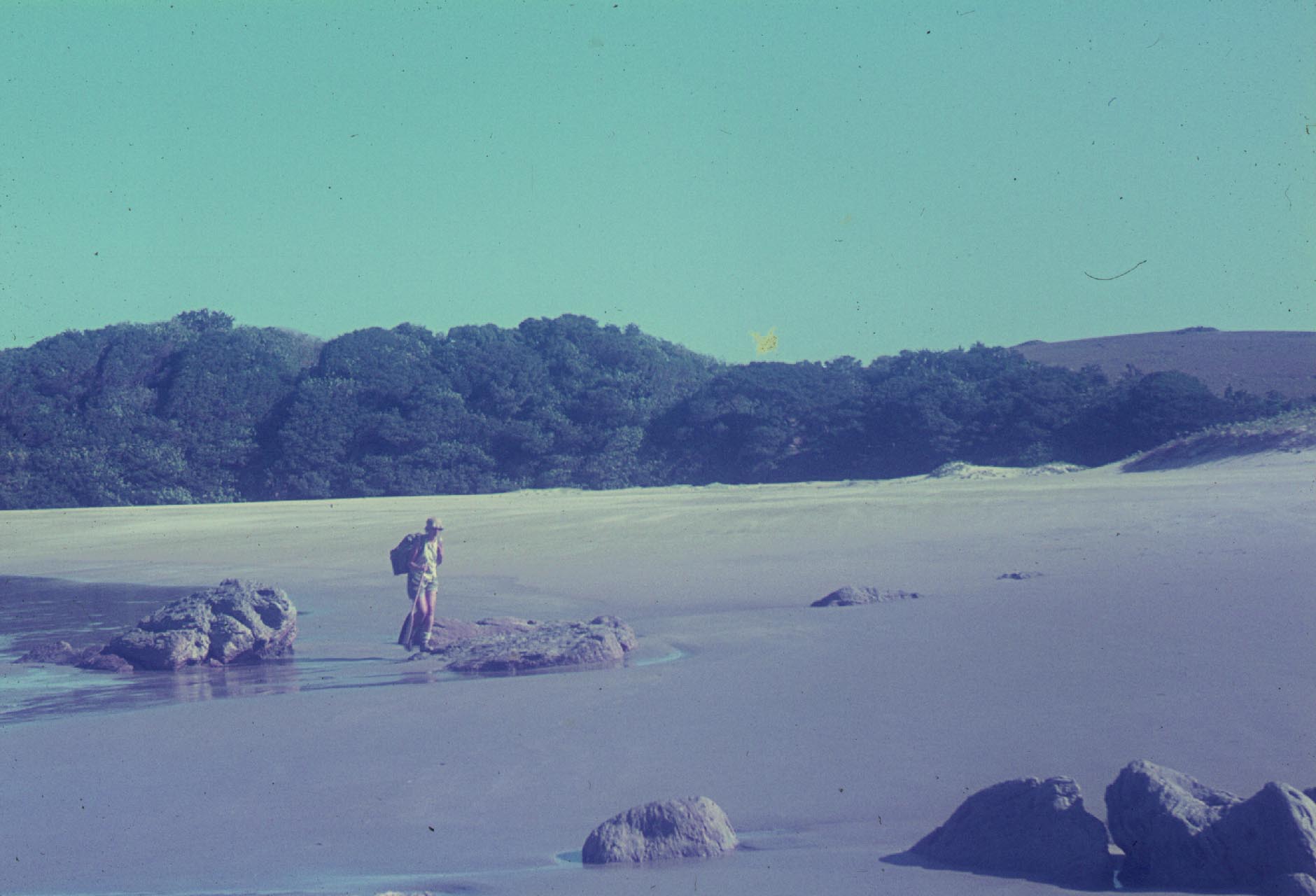
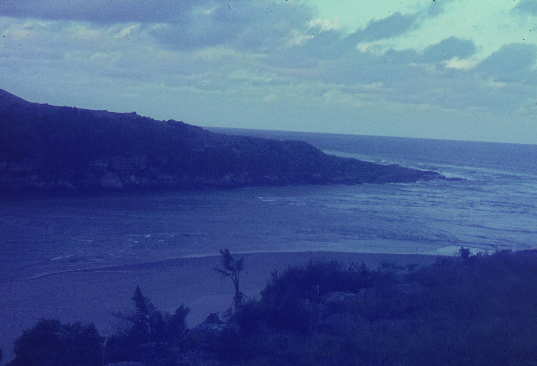
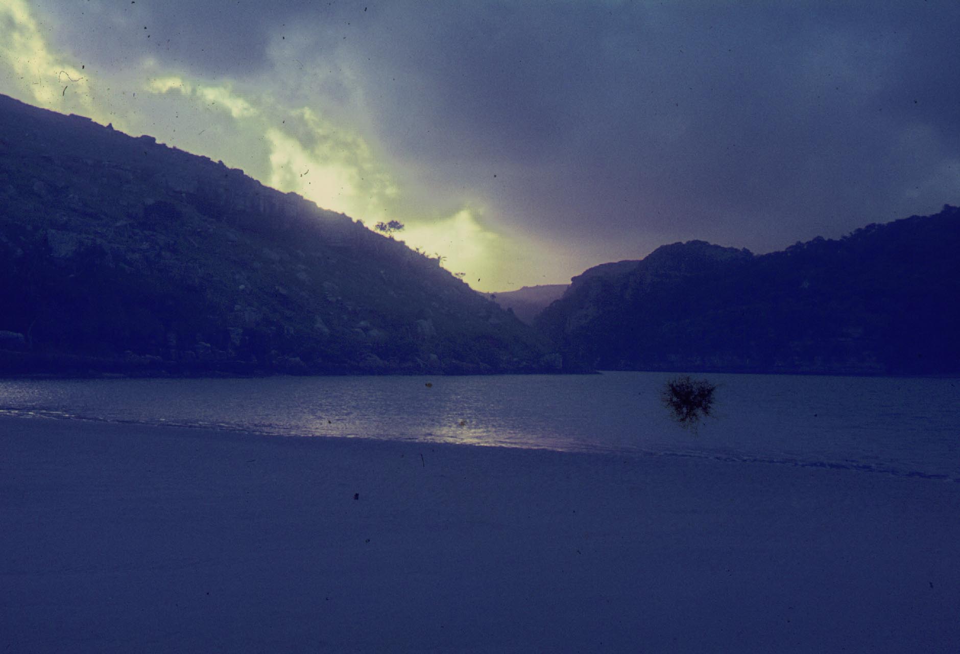
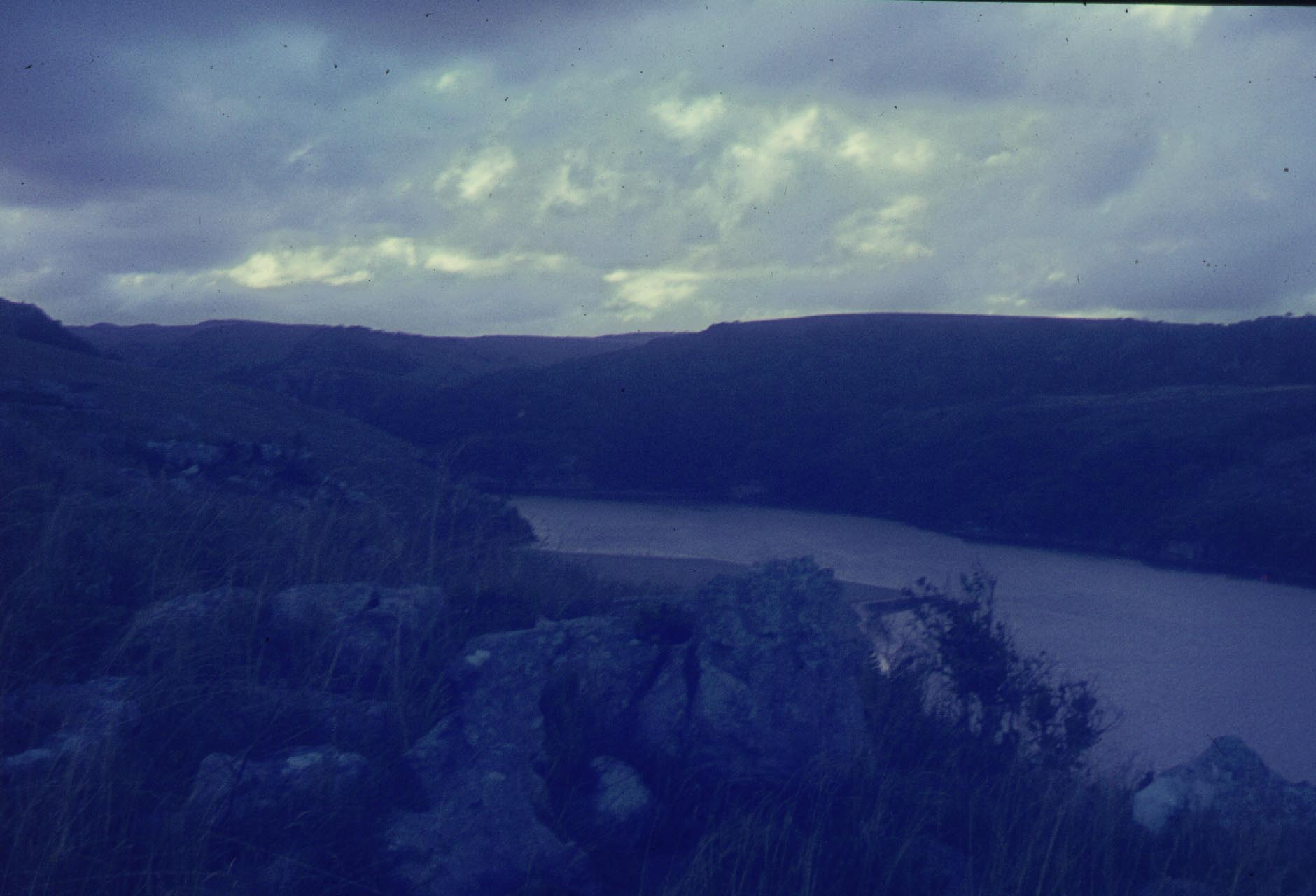
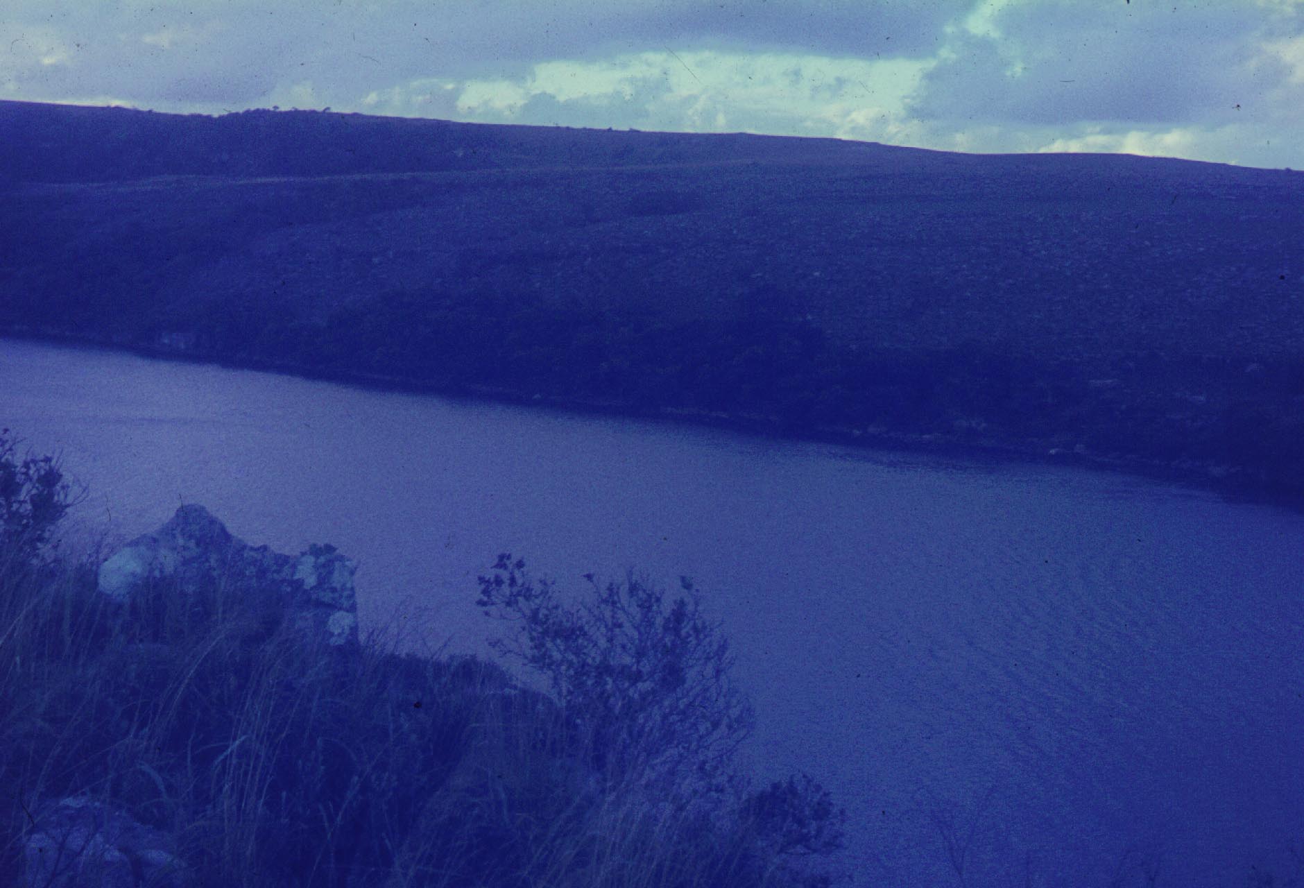
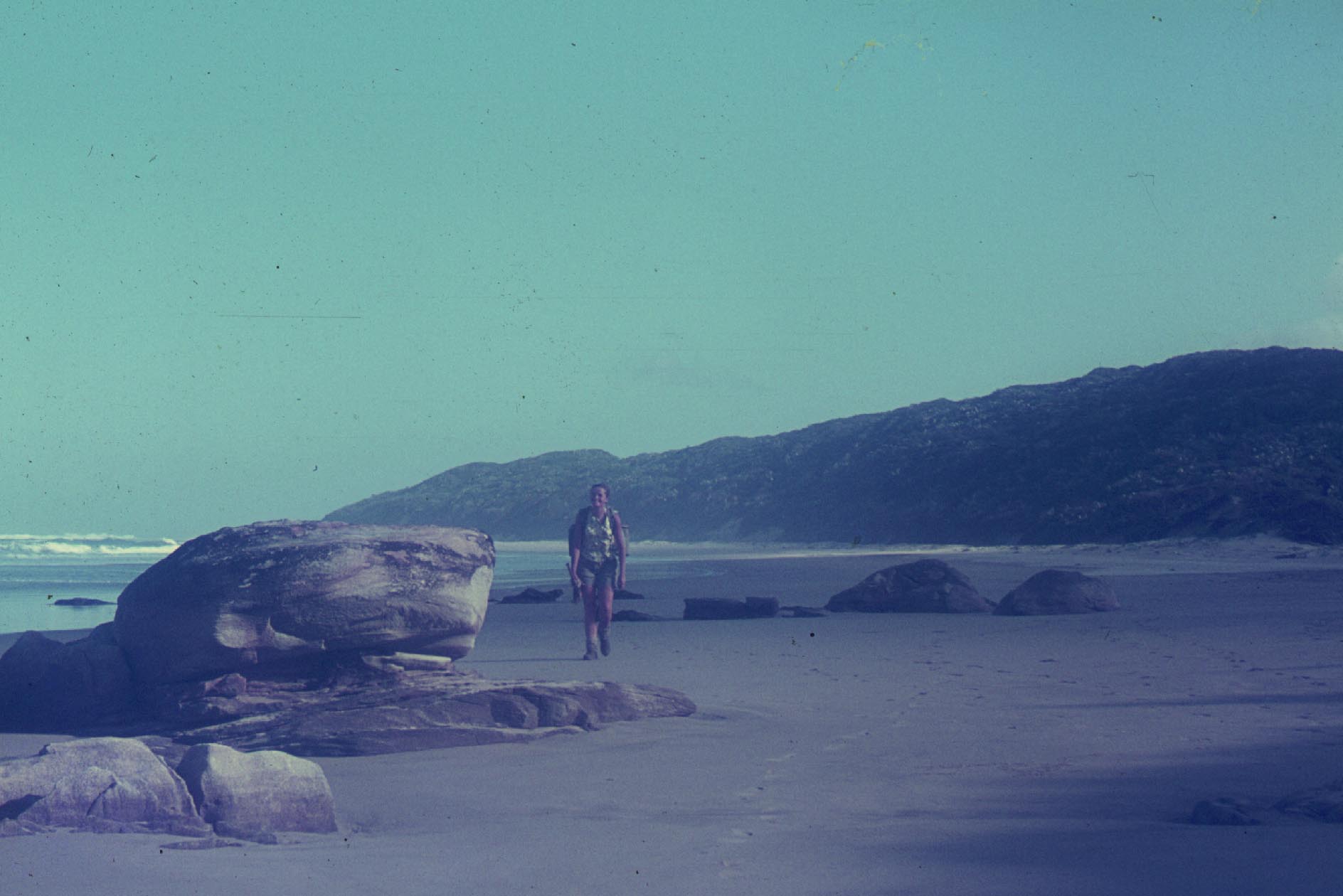
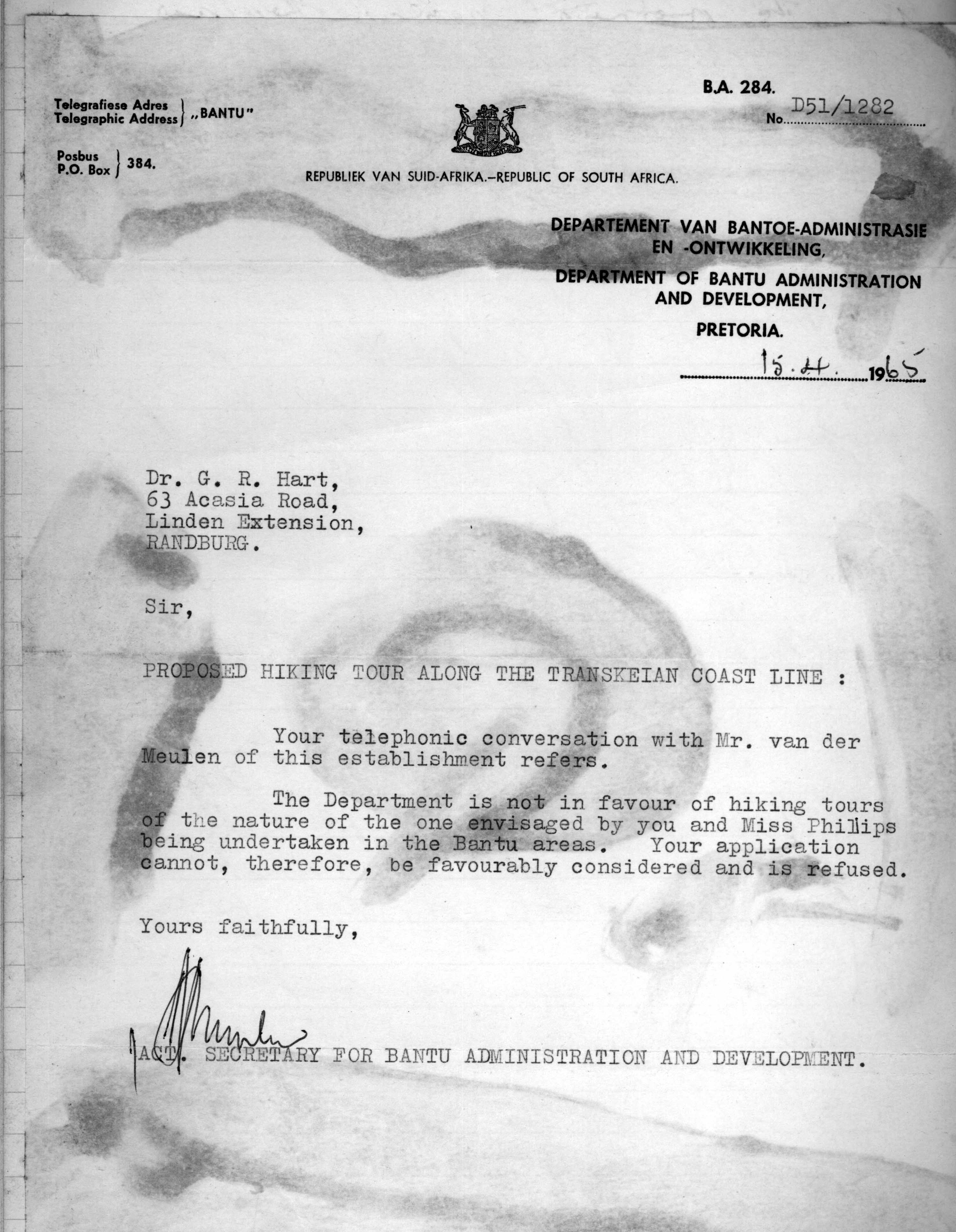
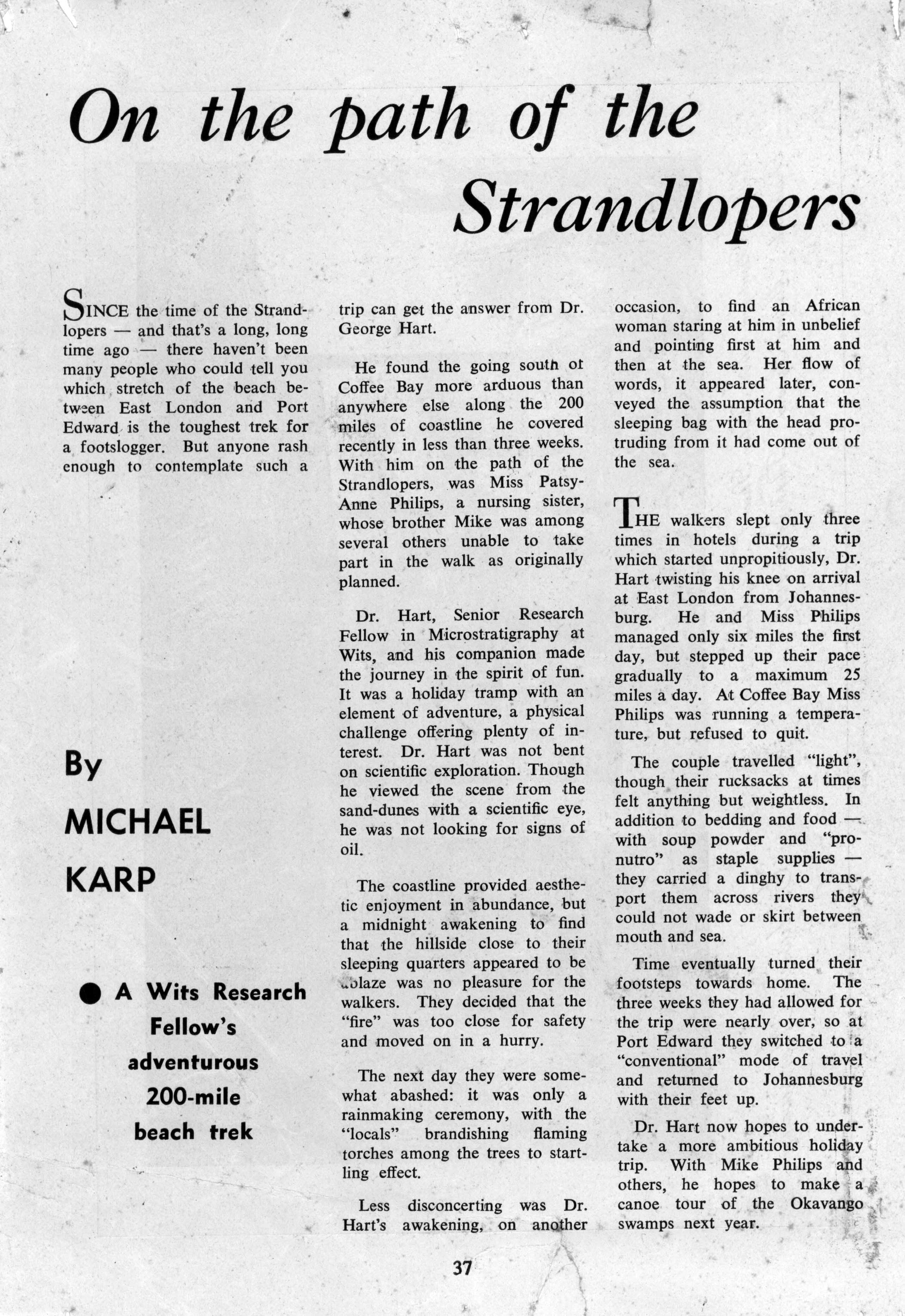
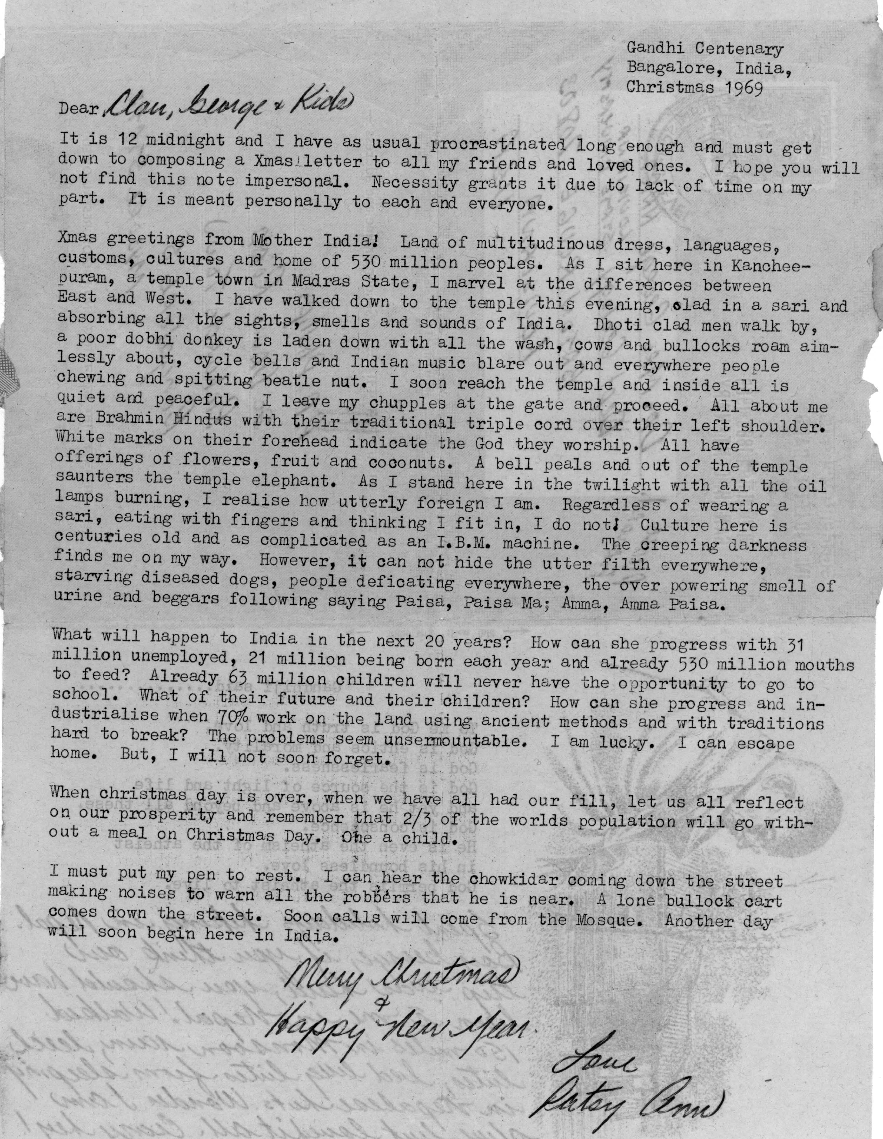